
Landsat 7 Captures Hurricane Ian Aftermath

Detailed Description
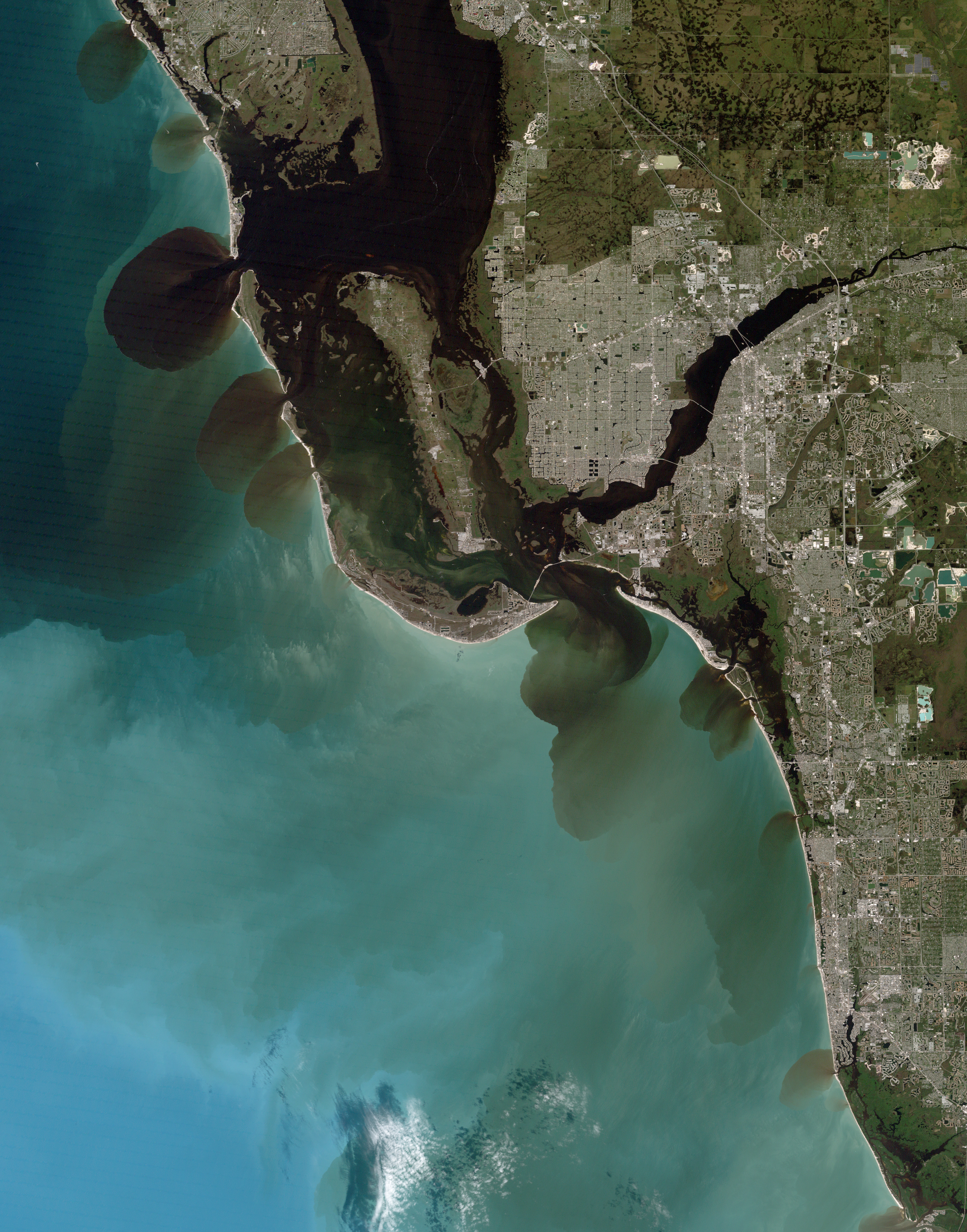
On October 2, 2022, this gap-filled Landsat 7 image captured brownish-black sediment runoff from rivers and streams on the southwest coast of Florida. These are the first Landsat images after Hurricane Ian devastated the area on Wednesday, September 28. Water runoff can carry away debris, fertilizers, metals, and other pollutants.
Ian brought unprecedented rainfall and storm surge to the southwest coast of Florida breaking records across the peninsula. Now the stormwater exits back into the Gulf of Mexico through waterflows as seen from Roberts Bay near Venice, Florida to the Everglades National Park (South of Marco Island).
Learn more about the Landsat Program at www.usgs.gov/landsat
Sources/Usage
Public Domain.