
Modeled beach profile evolution at Fishing Point, Virginia

Detailed Description
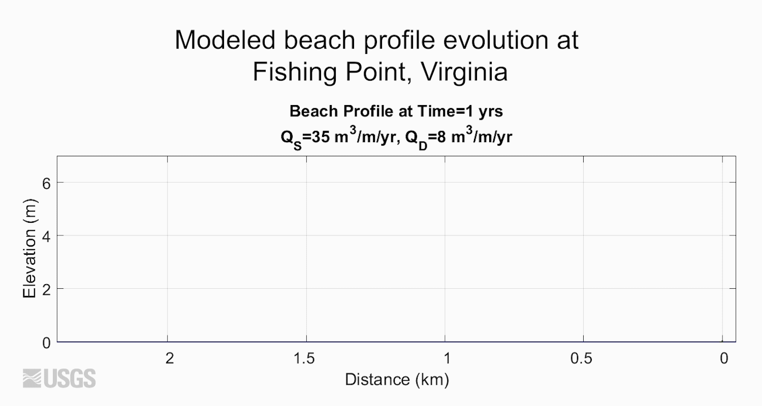
Animation displays modeled beach profile elevation as it has evolved at Fishing Point, Virginia. These data are based on historical charts and images and measure distance (in kilometers) of cross-shore accretion. QS is the flux of sand to the beach, and QD is the flux of sand from the beach to the active dune. Yellow represents sand, blue represents water, while green represents marsh. Data is from Ciarletta and others, 2019, https://agupubs.onlinelibrary.wiley.com/doi/abs/10.1029/2018JF004908.
Sources/Usage
Public Domain.