
Photograph of a salt marsh with ponding in coastal Connecticut taken during estuarine research field work.
Multimedia
Multimedia
Northeast Region: Delivering Science for Better Decisions
Northeast Region: Delivering Science for Better Decisions

This video is an introduction of the USGS Northeast Region's science efforts to support society's evolving needs through its engaged and diverse workforce.
Photo Contest Winners
Photo Contest Winners

Check out the winning photographs from the latest Northeast Region Photo Contest. Categories include People, USGS at Work, Where We Work, and Honorable Mention.
Images

Salt marsh with ponding in coastal Connecticut.
Photograph of a salt marsh with ponding in coastal Connecticut taken during estuarine research field work.

Salt marsh behind impoundment in coastal Connecticut
Salt marsh behind impoundment in coastal Connecticut, taken during estuarine research field work.
Salt marsh behind impoundment in coastal Connecticut, taken during estuarine research field work.

Salt marsh with ponding in coastal Connecticut
Salt marsh with ponding in coastal Connecticut, with the sun shining brightly overhead.
Salt marsh with ponding in coastal Connecticut, with the sun shining brightly overhead.

Salt marsh with ponding in coastal Connecticut
Photograph of a salt marsh with ponding in coastal Connecticut taken during estuarine research field work.
Photograph of a salt marsh with ponding in coastal Connecticut taken during estuarine research field work.

Groundwater-monitoring well
The USGS installs a sensor to monitor groundwater levels in real time at a well located at the City University of New York, York College campus.
The USGS installs a sensor to monitor groundwater levels in real time at a well located at the City University of New York, York College campus.
Videos

USGS Northeast Region: The Short Story
This video is an introduction of the USGS Northeast Region's science efforts to support society's evolving needs through its engaged and diverse workforce.
This video is an introduction of the USGS Northeast Region's science efforts to support society's evolving needs through its engaged and diverse workforce.
")
The USGS Northeast Region: Delivering Science for Better Decisions (AD)
This video is an introduction of the USGS Northeast Region's science efforts to support society's evolving needs through its engaged and diverse workforce.
This video is an introduction of the USGS Northeast Region's science efforts to support society's evolving needs through its engaged and diverse workforce.
The USGS Northeast Region: Delivering Science for Better Decisions
This video is an introduction of the USGS Northeast Region's science efforts to support society's evolving needs through its engaged and diverse workforce.
This video is an introduction of the USGS Northeast Region's science efforts to support society's evolving needs through its engaged and diverse workforce.

StreamStats Batch Processor: Submitting jobs
This video shows users how to utilize the StreamStats Batch Processor for processing multiple points in StreamStats for delineation and streamflow estimates. It explains how to submit new batches, check the status of previously submitted batches, and download results.
This video shows users how to utilize the StreamStats Batch Processor for processing multiple points in StreamStats for delineation and streamflow estimates. It explains how to submit new batches, check the status of previously submitted batches, and download results.

Kennebec River
B-roll video of flooding in Augusta, Maine from monitoring location camera on the Kennebec River.
B-roll video of flooding in Augusta, Maine from monitoring location camera on the Kennebec River.

Bander Portal: Locations
A video tutorial of the Locations features in the Bander Portal (permitted bander access). This includes viewing, modifying, and adding locations in the Portal.
A video tutorial of the Locations features in the Bander Portal (permitted bander access). This includes viewing, modifying, and adding locations in the Portal.
Webcams
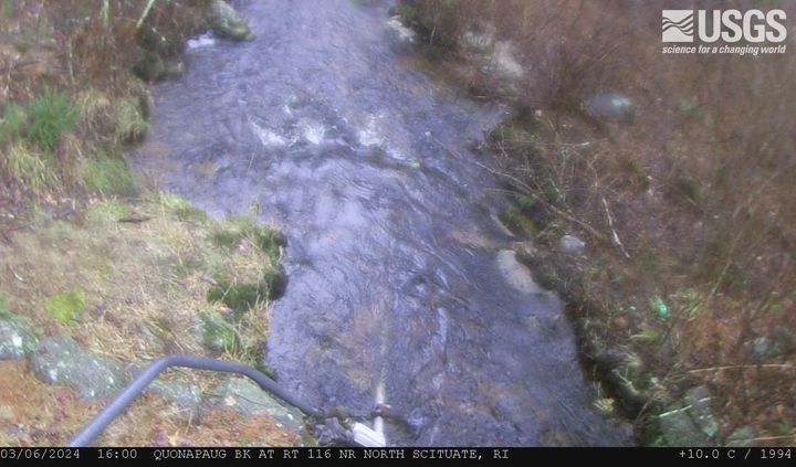
Quonopaug Brook at Rt 116 near North Scituate, Rhode Island
Quonopaug Brook at Rt 116 near North Scituate, Rhode Island. Monitoring location 01115183 is a tributary to the Scituate Reservoir in Providence County, Rhode Island. Current conditions of discharge and gage height are available.
Quonopaug Brook at Rt 116 near North Scituate, Rhode Island. Monitoring location 01115183 is a tributary to the Scituate Reservoir in Providence County, Rhode Island. Current conditions of discharge and gage height are available.
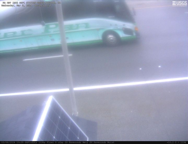
MA-HWY-I95S-HMA-Station 00567 Needham, Massachusetts
MA-HWY-I95S-HMA-STATION 00567 Needham, MA. The highway monitoring station 421650071120401 is located along Interstate 95 in Norfolk County, Massachusetts.
MA-HWY-I95S-HMA-STATION 00567 Needham, MA. The highway monitoring station 421650071120401 is located along Interstate 95 in Norfolk County, Massachusetts.
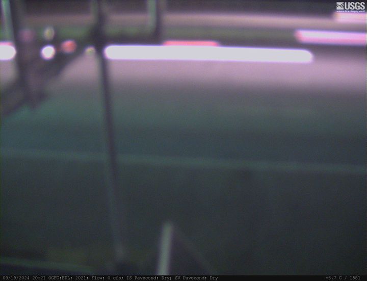
MA HWY I95S OGFC Station 00568 Needham, Massachusetts
MA-HWY-I95S-OGFC-STATION 00568 Needham, MA. The highway monitoring station 421652071120601 is located along Interstate 95 in Norfolk County, Massachusetts.
MA-HWY-I95S-OGFC-STATION 00568 Needham, MA. The highway monitoring station 421652071120601 is located along Interstate 95 in Norfolk County, Massachusetts.
West Brook near Whately, Massachusetts (01171100)
West Brook near Whately, Massachusetts. Monitoring location 01171100 is associated with a stream in Franklin County, Massachusetts. Current conditions of discharge and gage height are available. Water data back to 2019 are available online.
West Brook near Whately, Massachusetts. Monitoring location 01171100 is associated with a stream in Franklin County, Massachusetts. Current conditions of discharge and gage height are available. Water data back to 2019 are available online.
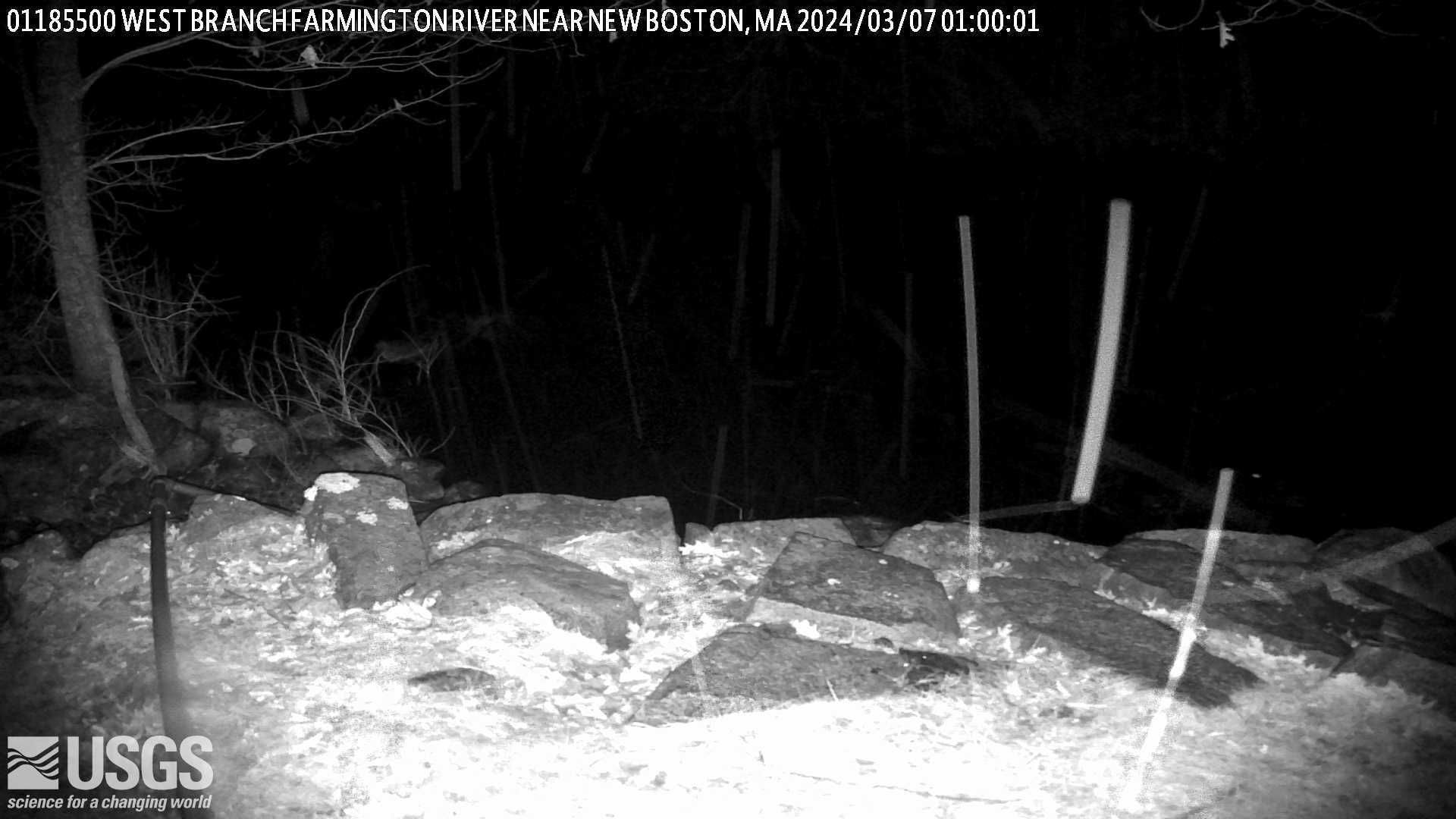
West Branch Farmington River near New Boston, Massachusetts (01185500)
West Branch Farmington River near New Boston, Massachusetts. Monitoring location 01185500 is associated with a stream in Berkshire County, Massachusetts. Current conditions of discharge and gage height are available.
West Branch Farmington River near New Boston, Massachusetts. Monitoring location 01185500 is associated with a stream in Berkshire County, Massachusetts. Current conditions of discharge and gage height are available.
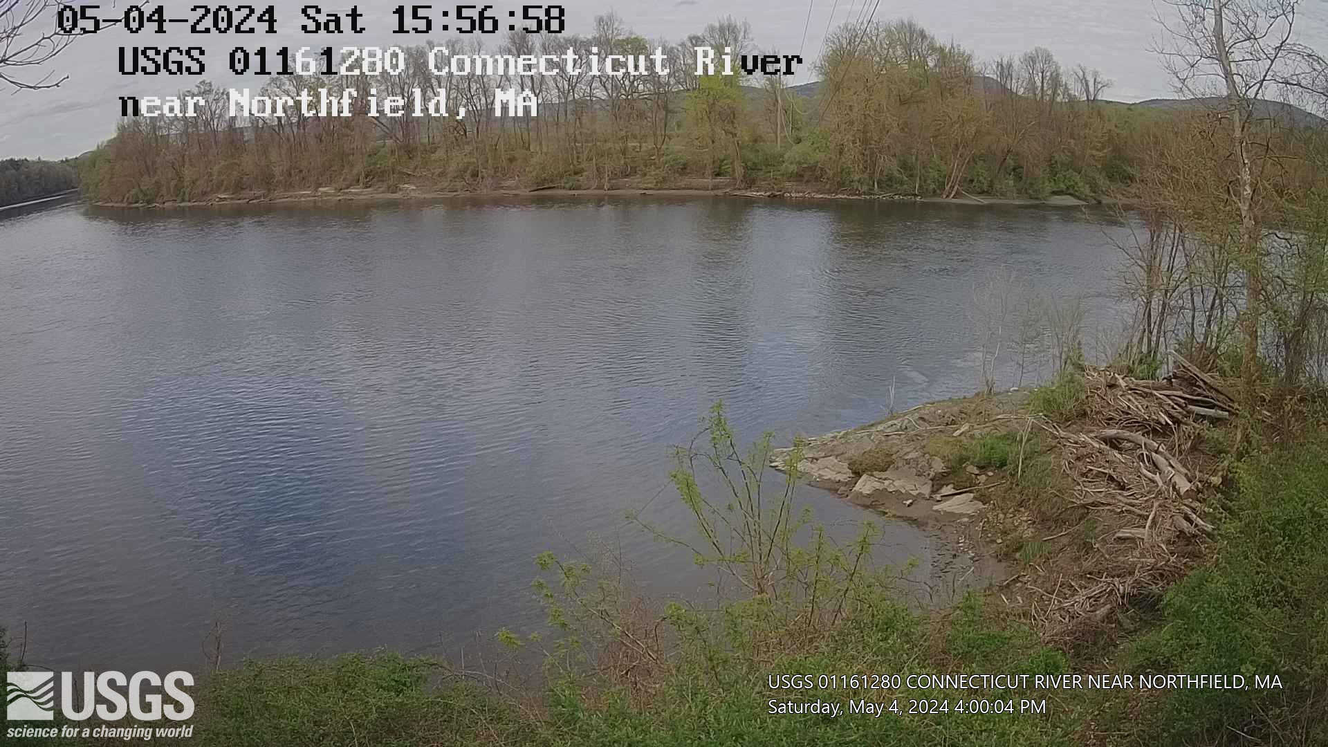
Connecticut River near Northfield, Massachusetts (01161280)
Connecticut River near Northfield, Massachusetts. Monitoring location 01161280 is associated with a stream in Franklin County, Massachusetts. Current conditions of gage height, mean water velocity for discharge computation, and nitrate plus nitrite are available.
Connecticut River near Northfield, Massachusetts. Monitoring location 01161280 is associated with a stream in Franklin County, Massachusetts. Current conditions of gage height, mean water velocity for discharge computation, and nitrate plus nitrite are available.