Geographic Information Systems (GIS)
Maps are an integral part of water-science activities and the Caribbean Florida Water Science Center utilizes and produces maps for all types of hydrologic projects and in information dissemination. Maps are also helpful for providing the user with a geographical reference to our water information.
Map Topics
We offer a range of geologic maps, topographic maps, geospatial map applications, and more. Start your topical exploration.
Water/Watershed Spatial Data
The National Map - Data Delivery
This site provides applications and web map services for accessing ‘Topographic Information for the Nation’. This information includes topographic maps, and GIS data for: elevation; hydrography; watersheds; geographic names; orthoimagery; governmental units/boundaries; transportation; and land cover. Find out more
Using the National Map Download
uGet is an open source download manager application which supports many platforms. It is portable and can be downloaded for usage without installation. See instructions.

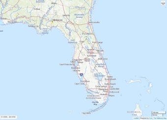
Free Topographic map for Florida
USGS maps are the 1:24,000-scale topographic maps, also known as 7.5-minute quadrangles. From approximately 1947 to 1992, more than 55,000 7.5-minute maps were made to cover the 48 conterminous states.

Free Topographic Map for Puerto Rico
Similar maps at varying scales were produced during the same time period for Alaska, Hawaii, and US Territories. The 7.5-minute series was declared complete in 1992, and at that time was the only uniform map series that covered the United States in considerable detail.

Geologic units and faults from USGS Open File Report 98-38, concerning assessment of the mineral resources of Puerto Rico.
USGS and Other National spatial/GIS data sets
Maps are an integral part of water-science activities and the Caribbean Florida Water Science Center utilizes and produces maps for all types of hydrologic projects and in information dissemination. Maps are also helpful for providing the user with a geographical reference to our water information.
Map Topics
We offer a range of geologic maps, topographic maps, geospatial map applications, and more. Start your topical exploration.
Water/Watershed Spatial Data
The National Map - Data Delivery
This site provides applications and web map services for accessing ‘Topographic Information for the Nation’. This information includes topographic maps, and GIS data for: elevation; hydrography; watersheds; geographic names; orthoimagery; governmental units/boundaries; transportation; and land cover. Find out more
Using the National Map Download
uGet is an open source download manager application which supports many platforms. It is portable and can be downloaded for usage without installation. See instructions.

Free Topographic map for Florida
USGS maps are the 1:24,000-scale topographic maps, also known as 7.5-minute quadrangles. From approximately 1947 to 1992, more than 55,000 7.5-minute maps were made to cover the 48 conterminous states.

Free Topographic Map for Puerto Rico
Similar maps at varying scales were produced during the same time period for Alaska, Hawaii, and US Territories. The 7.5-minute series was declared complete in 1992, and at that time was the only uniform map series that covered the United States in considerable detail.

Geologic units and faults from USGS Open File Report 98-38, concerning assessment of the mineral resources of Puerto Rico.
USGS and Other National spatial/GIS data sets


