
The 3D Elevation Program Precision Agriculture and Other Farm Practices Thumbnail
Detailed Description
The 3D Elevation Program Precision Agriculture and Other Farm Practices Thumbnail
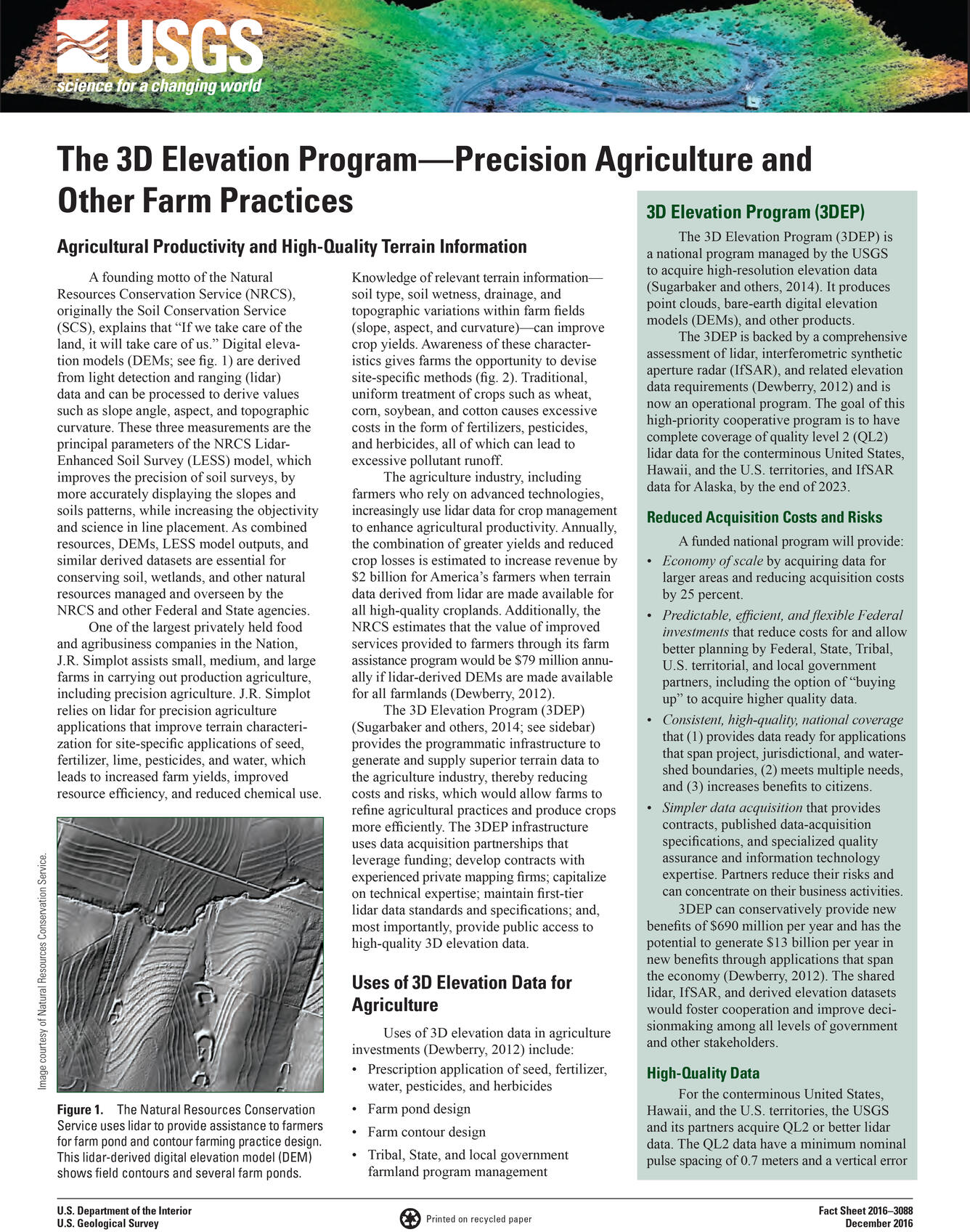
A founding motto of the Natural Resources Conservation Service (NRCS), originally the Soil Conservation Service (SCS), explains that “If we take care of the land, it will take care of us.” Digital elevation models (DEMs; see fig. 1) are derived from light detection and ranging (lidar) data and can be processed to derive values such as slope angle, aspect, and topographic curvature. These three measurements are the principal parameters of the NRCS LidarEnhanced Soil Survey (LESS) model, which improves the precision of soil surveys, by more accurately displaying the slopes and soils patterns, while increasing the objectivity and science in line placement. As combined resources, DEMs, LESS model outputs, and similar derived datasets are essential for conserving soil, wetlands, and other natural resources managed and overseen by the NRCS and other Federal and State agencies.
Sources/Usage
Public Domain.