
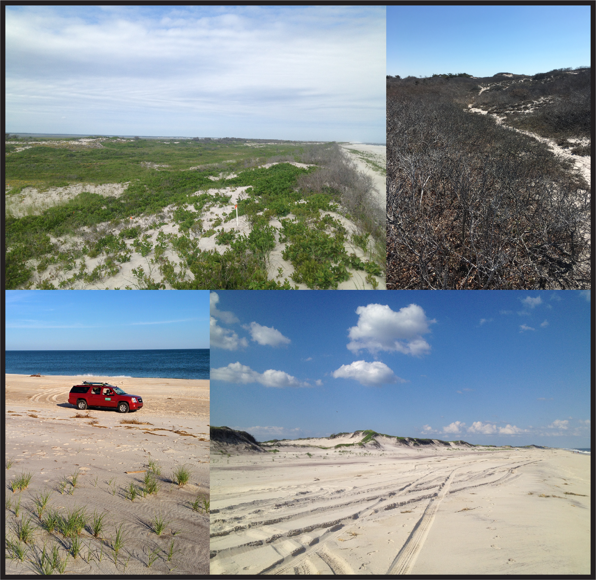
Images of multiple oceanside beaches and dunes at Fire Island New York

Detailed Description
For more than 15 years, the USGS has actively studied natural and human changes to the shoreline, beaches, and dunes at Fire Island. This research program has refined our understanding of the long (decades to centuries)- and short-term (storm events, seasons, years) geomorphological changes on the barrier island that influence natural, cultural, and recreational resources within Fire Island National Seashore, state and county parks, and communities along the island. Furthermore, these efforts have guided impact and recovery assessments that were undertaken in response to Hurricane Sandy in 2012. In addition to helping us understand how the island has evolved in the recent past, these observations serve as critical input to numerical and statistical models that predict future island behavior and guide coastal management and decision-making.
Sources/Usage
Public Domain.