
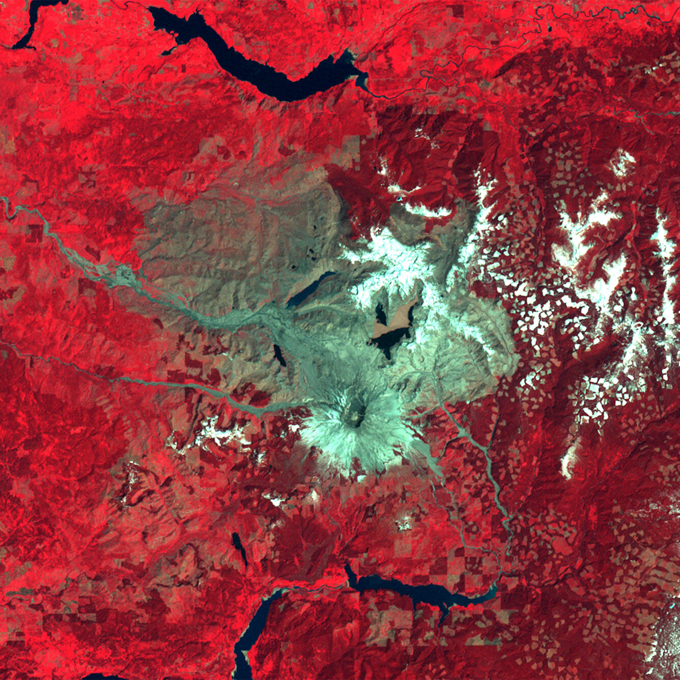
Land Remote Sensing Image of Mount St. Helens on May 22, 1983
Detailed Description
Land Remote Sensing Image of Mount St. Helens on May 22, 1983. The volcanic blast on May 18, 1980, devastated more than 150 square miles of forest within a few minutes. In this Landsat false-color images, forest appears as bright red interspersed with patches of logging. Snow appears white, and ash is gray.
Before the eruption, Mount St. Helens towered about a mile above its base, but when the volcano erupted, its top slid away in an avalanche of rock and debris. When measured on July 1, 1980, the mountain's height had been reduced from 9,677 feet to 8,364 feet - a difference of about 1,300 feet.
Sources/Usage
Public Domain.