
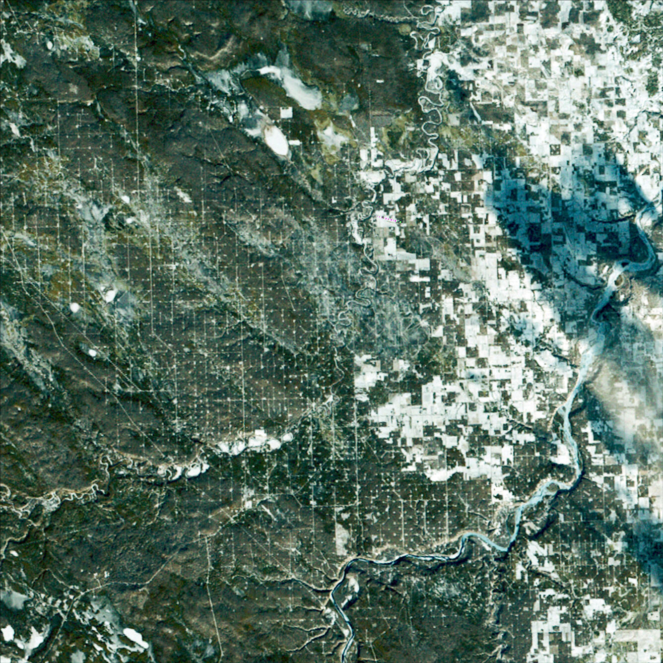
Landsat 2 First Light Image of Drayton Valley
Detailed Description
Landsat 2’s first light image captured Drayton Valley in Alberta, Canada on January 24, 1975. Located along Canadian Highway 22, also known as Cowboy Trail, the town’s original economy thrived on faming and logging. The discovery of the Pembina oil field in 1953 contributed to explosive growth in the sparsely populated area, with an increase from 75 individuals to 2,000.
The boxed pattern seen here comes from the infrastructure for the oil and gas industry. Roads and utility corridors interconnect allowing access to well sites.
Sources/Usage
Public Domain.