
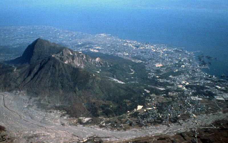
Landslide scarp on Mt. Mayuyama, part of the Unzen Volcano complex ...
By Volcano Hazards Program
1905 (approx.)
Detailed Description
The displacement of water triggered a tsunami along the adjacent shoreline of Shimabara Peninsula (visible above and right of Mayuyama) and also 17-23 km (10-15 mi) across the Ariaka Sea in neighboring provinces. The landslide and tsunami killed nearly 15,000 people.
Scientists have interpreted the conspicuous hummocks along the shore as part of a landslide deposit that occurred before 1792. Maps submitted to the Tokugawa Shogunate in 1792 as the official documents of the Shimabara Catastrophe clearly show the existence of small islands before the disaster struck.