
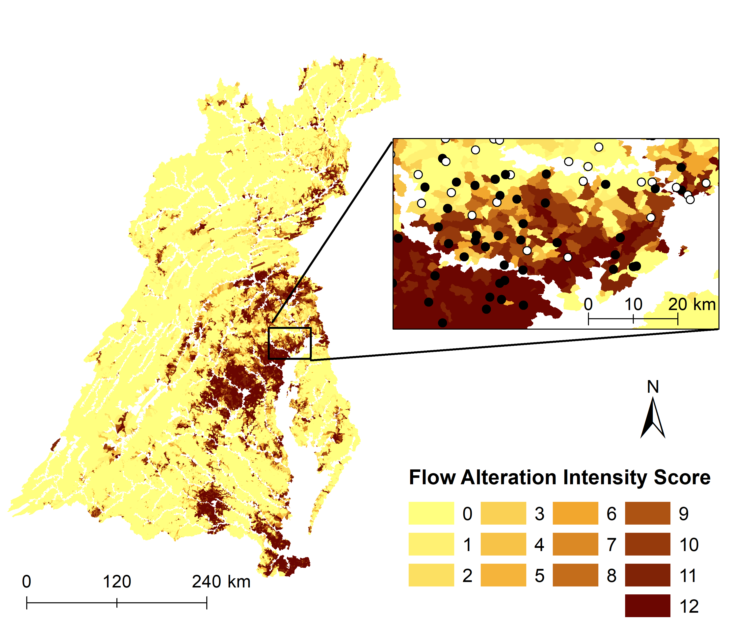
Map of Chesapeake Bay watershed showing the flow altered score

Detailed Description
Map of Chesapeake Bay watershed showing the flow altered intensity score for all small streams (< 200 km2 in upstream drainage) and a focus area with stream condition overlain. (Maloney and others, 2021)
Sources/Usage
Public Domain.