
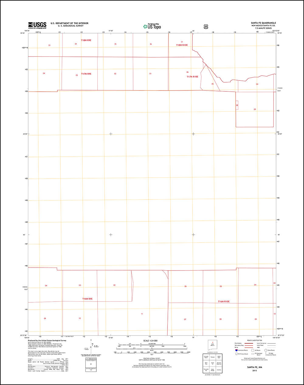
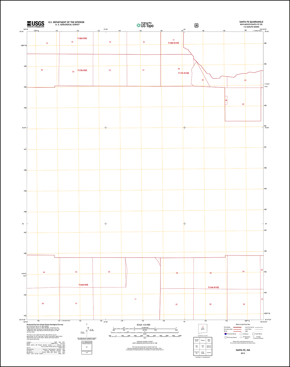
Santa Fe, New Mexico 2013 US Topo quadrangle, showing PLSS data
Detailed Description
Santa Fe, New Mexico 2013 US Topo quadrangle, showing PLSS data with contour, orthoimage and woodland layers off. Note: "US Topo maps are not legal documents. The PLSS information shown on these maps is for general reference purposes only, and should not be used to determine legal boundaries or land ownership. The Bureau of Land Management (BLM) is the authoritative source for PLSS information at the federal level, and the US Topo representation is derived from BLM GIS data files. The management of these data is not completely uniform throughout the country."