Landsat Next Defined

Landsat Next Defined

Landsat Next is on the horizon—the new mission will not only ensure continuity of the longest space-based record of Earth’s land surface, it will fundamentally transform the breadth and depth of actionable information freely available to end users. Take a look at the new capabilities that will define the next Landsat mission.

Read More »
Landsat Next Defined

Landsat Next Defined

Landsat Next is on the horizon—the new mission will not only ensure continuity of the longest space-based record of Earth’s land surface, it will fundamentally transform the breadth and depth of actionable information freely available to end users. Take a look at the new capabilities that will define the next Landsat mission.

Read More »

“It is a game changer for people who want to know the impact of a management action on particular piece of land, or how a dam affected the downstream area.”


“Having a carefully calibrated multi-satellite record allows us to ensure that we are recording changes to the Earth, and not simply changes in the instrument response. The more detailed observations from Landsat 8 and Landsat 9 allow these subtle changes to be teased out of the long-term record unambiguously.”


“Landsat is the gold standard calibration reference because the Landsat Program has committed to world-class radiometric and geometric calibration standards.”


“The [Landsat-informed] World Settlement Footprint is a great example on how we can mobilize the data revolution for the benefits of all countries and cities, leaving no one behind, which is one of the leitmotifs of the 2030 agenda on sustainable development.”


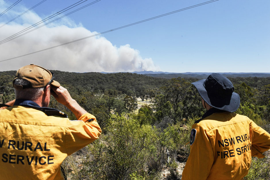
“Fire perimeters collected using Landsat imagery are accurate, timely and cost-effective.”


“The majority of tropical countries are using Landsat imagery as the primary source of information to support their forest change assessments.”


“Even though I have a book coming out about the Moon Landing, I’ll say it: Landsat is likely the greatest, most impactful, yet under-appreciated, accomplishment of the entire space age.”


“We believe this type of continuous mapping of forest metrics at expansive scales would not have been possible without the excellent radiometric characteristics of Landsat 8, particularly the high level of quantization and the outstanding signal-to-noise ratio, which enables fine distinctions that were not previously possible.”


“We basically built … Tinder for Landsat maps: Swipe right if it’s good, swipe left if it’s bad.”


“Data from Landsat and the MODIS sensor are well-suited to help people make informed policy decisions about ecosystem health, water management, agriculture and much more.”


“The Landsat program relative to agriculture monitoring has been profound. The whole idea that Landsat could look at the condition of crops, the acreage of crops, seeing how they evolve, diseases… it just has been tremendously impactful for agriculture.”


“Very importantly, big data and its use for societal good is based on really progressive data policies. The Landsat sensor has 40 years of data in the archive and it is available to anyone on the planet.”


“We have a globally consistent, locally relevant map product that can be used in a variety of applications: estimating emissions from deforestation, modeling biodiversity, assessing protected areas, and studying forest and human health. We plan to move our record forward and backward where Landsat has a sufficiently rich archive of data.”


“Landsat is an invaluable resource for developing these high resolution maps. Without the Landsat imagery we would not have the spectral information needed to decompose urban landscapes into Local Climate Zone types. Hence the data is at the heart of the project and it is the most critical piece—without Landsat there is no project.”


“The Landsat archive enables us to develop products that tackle problems and address issues at a continental scale. For a country the size of Australia, this would simply not be possible without free and open access to the full time-series that the Landsat archive provides.”


“It is undeniable that having access to long-term satellite data has allowed ecologists and environmental managers to increase their understanding of the natural world, to make predictions about how this world might transform and to design efficient mitigation and adaptation strategies in the face of global environmental change.”


“I think of Landsat as a Swiss Army knife. It is one basic set of observations that feeds an entire range of Earth science applications and research.”


“Our mission right now is really a quantum step forward from previous Landsats… I can’t wait to see what comes out of all of these emerging applications and how well it supports the user.”


“Landsat is really important because it gives us that time component. We can go back in time and see what an area let’s say a coastal zone or a mangrove forest has been like over time.”


“Satellite imagery can help us get the biggest bang for our buck by targeting conservation initiatives in a specific window of time at key locations. Landsat is the longest running Earth observation satellite system we have, and free access to this data enables researchers to look at the effects of seasonality, climate cycles, and long-term trends in land-use change.”


“We hope to accelerate innovation in climate research, humanitarian relief, and disaster preparedness efforts around the world by making Landsat data readily available near our flexible computing resources.”


“The Landsat satellites have also proved to be very useful, particularly for trying to do more detailed, finer-scale risk mapping.”


“Because of Landsat’s global coverage and long history, it has become a reference point for all Earth observation work and is considered the gold standard of natural resource satellite imagery.”


Landsat 9 bw
Landsat 9 bw
Landsat 9 bw

The NASA/USGS Landsat Program provides the longest continuous space-based record of Earth’s land in existence. Landsat data give us information essential for making informed decisions about Earth’s resources and environment.