U.S. flag

An official website of the United States government

A selection of coastal and marine images and videos from across the USGS

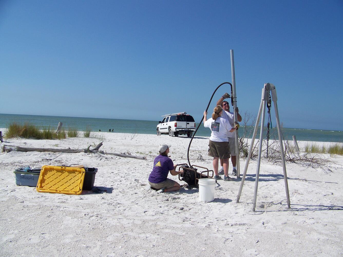
Three scientists operate a vibrating core barrel on a sandy beach near the water.
USGS collects terrestrial (barrier island) and marine (nearshore and estuarine) sediment cores to ground-truth geophysical observations in 2019. These cores are used to understand the history of barrier island formation and erosion.
View of a wetland area with some sand and a little water amongst a marshy, elevated grassland.
The USGS is assessing the physical condition of coastal wetlands and how they may change in response to storms, sea-level rise, and human activity.
Winter nor’easters eroded sediments from an artificial dune and moved them seaward to the beach and shoreface
Though often less intense than hurricanes, extratropical storms (e.g., nor’easters) occur more frequently and their impacts can be striking. Here, several years after Hurricane Sandy, winter nor’easters eroded sediments from an artificial dune at Fire Island, NY and moved them onto the beach and shoreface. Such erosion created a steep vertical face, or scarp.
One person on an all-terrain vehicle and two standing near another, on a beach.
You have to be able to have a little fun when in the field. A colleague from the Washington State Department of Ecology hams it up while prepping for a beach survey with scientists from the USGS Pacific Coastal and Marine Science Center. The multi-agency surveys define sediment transport pathways and record coastal changes at the mouth of the Columbia River, where dams, stone jetties, navigation channels, and changes in upstream land use affect the sediment supply to beaches.
Equipment attached to a metal frame floats in the water on two buoys while dolphins frolic nearby.
The SQUID-5 is an acronym for a Structure-from-Motion (SfM) Quantitative Underwater Imaging Device with 5 cameras. Developed by the USGS Pacific Coastal and Marine Science Center Marine Facility (MarFac), SQUID-5 is a towed surface vehicle with an onboard Global Navigation Satellite System (GNSS) and 5 downward-looking cameras with overlapping views of the seafloor. It was first field-tested in July of 2019 in the Florida Keys over a shallow-water coral reef. Here, some curious dolphins frolic nearby as SQUID-5 is towed from a boat.
A group of people stand, smiling for the camera, on the deck of a ship at sea with the Golden Gate Bridge in the background
USGS scientists on the back deck of the M/V Bold Horizon in San Francisco Bay in October 2019: standing, left to right, Brandon Nasr, Danny Brothers, Travis Alonghi (USGS Student Contractor), Gerry Hatcher, Jenna Hill, Pete Dal Ferro and Jenny McKee; kneeling, left to right, USGS scientists Janet Watt and Nora Nieminski.


Get Our News

These items are in the RSS feed format (Really Simple Syndication) based on categories such as topics, locations, and more. You can install and RSS reader browser extension, software, or use a third-party service to receive immediate news updates depending on the feed that you have added. If you click the feed links below, they may look strange because they are simply XML code. An RSS reader can easily read this code and push out a notification to you when something new is posted to our site.