Search
Search
Sandbar Monitoring
Home
Sites
Nautiloid - 35.1 L
Parameters
Discharge for Lower Bound of Sandbar Elevation Zone (ft
3
/s)
*
Discharge for Upper Bound of Sandbar Elevation Zone (ft
3
/s):
*
Update Plots
Download Data
Site Map
+
−
Satellite
Topographic
Dark
500 m
2000 ft
Leaflet
| ©
OpenStreetMap
contributors
Sandbar Figures
Site Photo
Photograph of Nautiloid taken 9/23/2013. View is from left side of river looking upstream at site. Streamflow is from top to bottom of image.
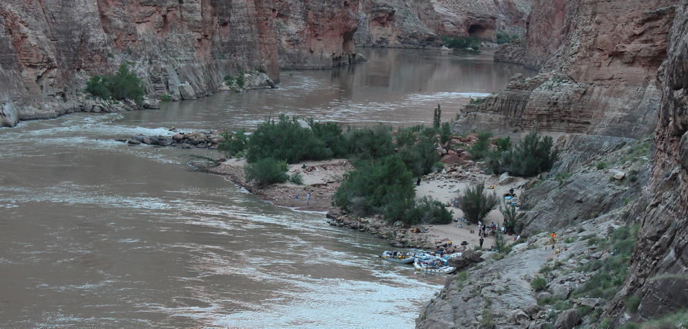 Photograph of Nautiloid taken 9/23/2013. View is from left side of river looking upstream at site. Streamflow is from top to bottom of image.


