Search
Search
Sandbar Monitoring
Home
Sites
Willie Taylor - 45.0 L
Parameters
Discharge for Lower Bound of Sandbar Elevation Zone (ft
3
/s)
*
Discharge for Upper Bound of Sandbar Elevation Zone (ft
3
/s):
*
Update Plots
Download Data
Site Map
+
−
Satellite
Topographic
Dark
500 m
2000 ft
Leaflet
| ©
OpenStreetMap
contributors
Sandbar Figures
Site Photo
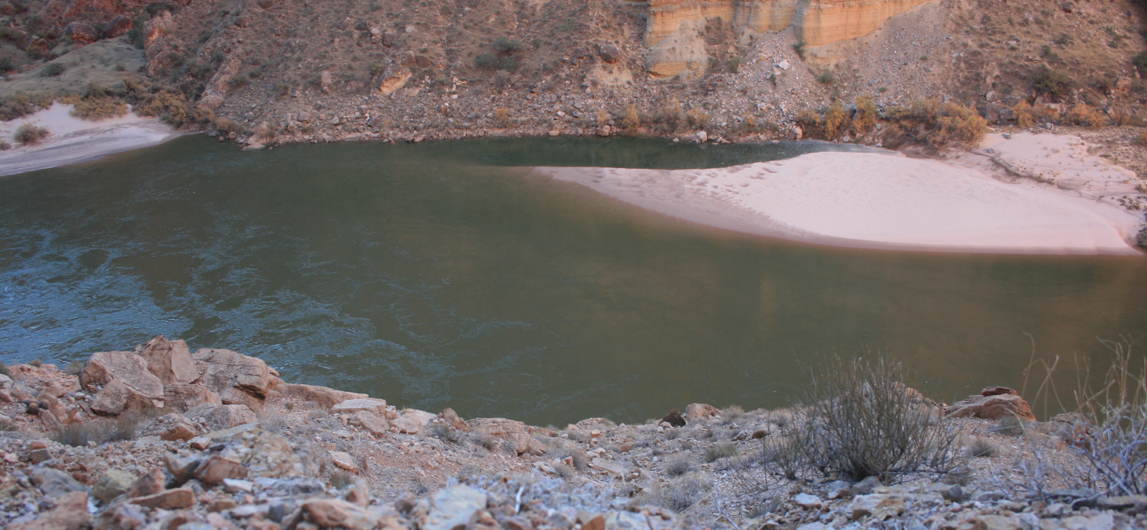
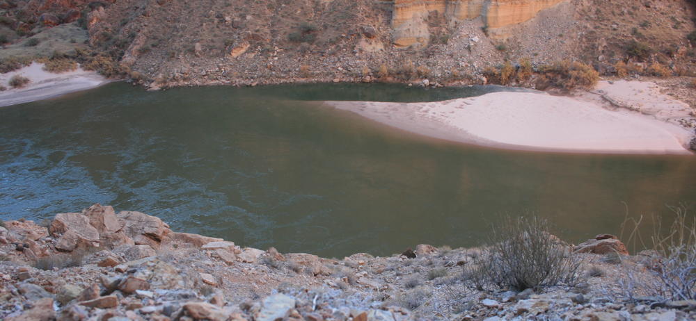
Photograph of Willie Taylor taken 12/2/2012. View is from right side of river looking across at site. Streamflow is from left to right of image.
 Photograph of Willie Taylor taken 12/2/2012. View is from right side of river looking across at site. Streamflow is from left to right of image.