Search
Search
Sandbar Monitoring
Home
Sites
22 Mile - 22.0 R
Parameters
Discharge for Lower Bound of Sandbar Elevation Zone (ft
3
/s)
*
Discharge for Upper Bound of Sandbar Elevation Zone (ft
3
/s):
*
Update Plots
Download Data
Site Map
Sandbar Figures
Site Photo
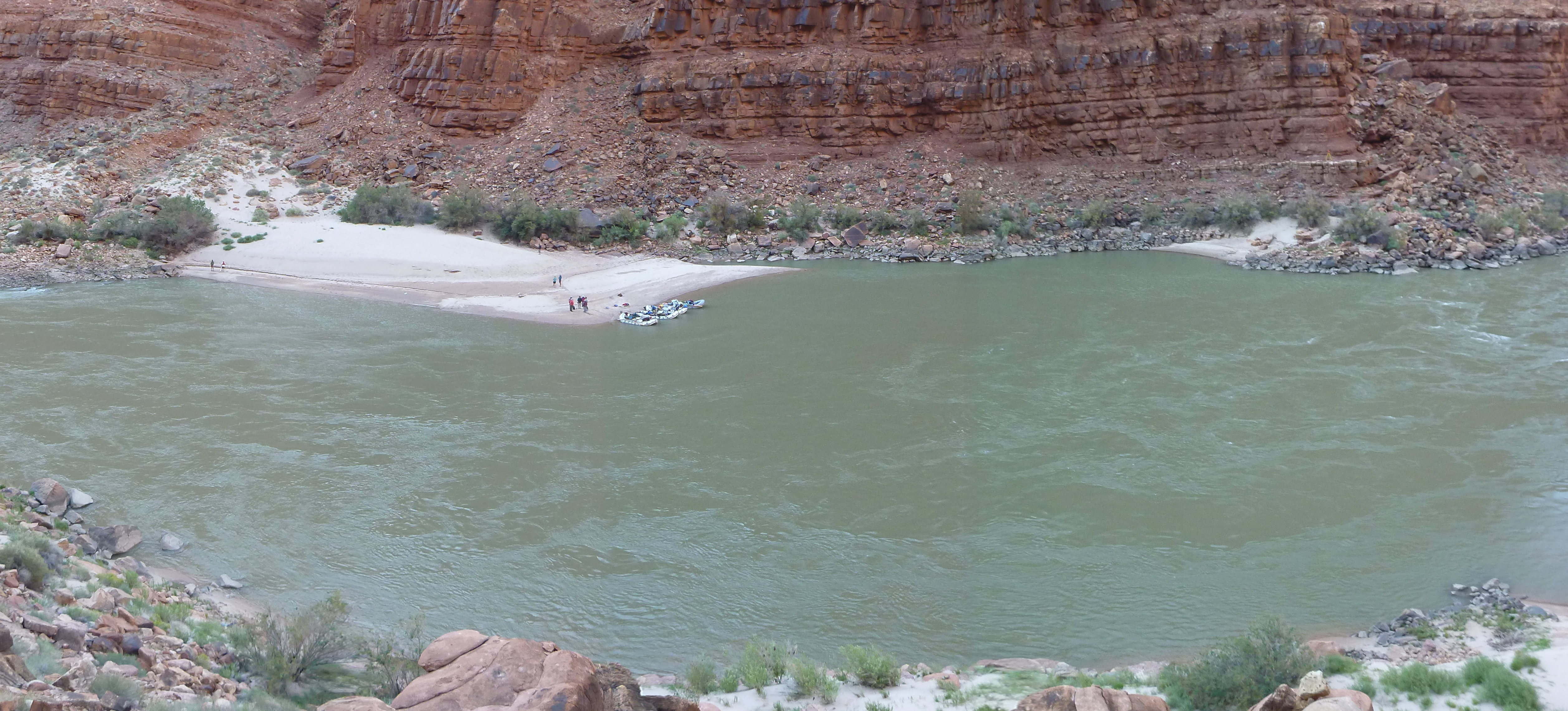
Photograph of 22 Mile taken 9/22/2013. View is from left side of river looking across at site. Streamflow is from right to left of image.
 Photograph of 22 Mile taken 9/22/2013. View is from left side of river looking across at site. Streamflow is from right to left of image.