
Mona Rift Seafloor
By Woods Hole Coastal and Marine Science Center
2022 (approx.)
Detailed Description
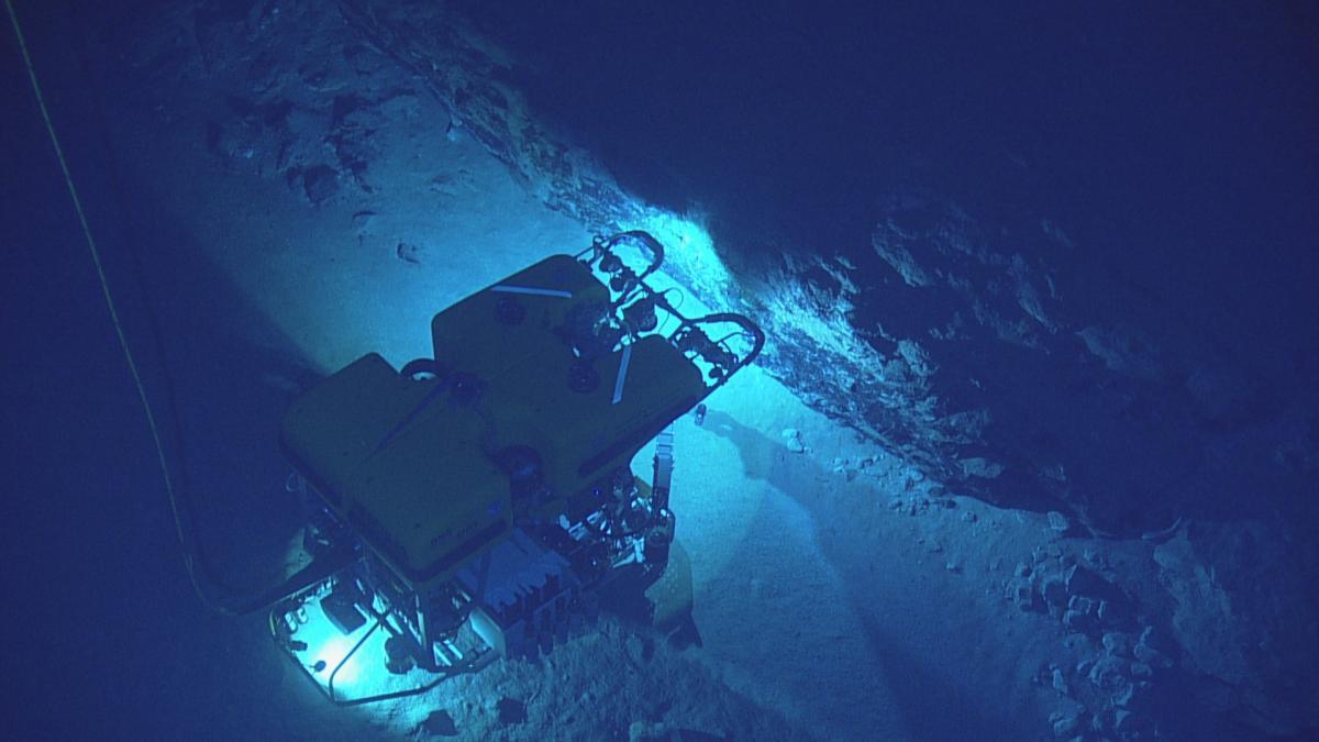
Nautilus dive on the Mona Rift western slope, off the coast of Puerto Rico.
The USGS developed a workflow for creating 3D models of the deep seafloor from archived video images. The study, “Photogrammetry of the Deep Seafloor from Archived Unmanned Submersible Exploration Dives,” was recently published in the Journal of Marine Science and Engineering. To develop this workflow, two remotely operated vehicles (ROVs) collected underwater images of the Mona Rift seafloor, located northwest of Puerto Rico.
Sources/Usage
Credit should be attributed to "Ocean Exploration Trust and Sea Research Foundation"
Permission is limited to the news item titled, "Underwater Photogrammetry Reaches New Depths"