


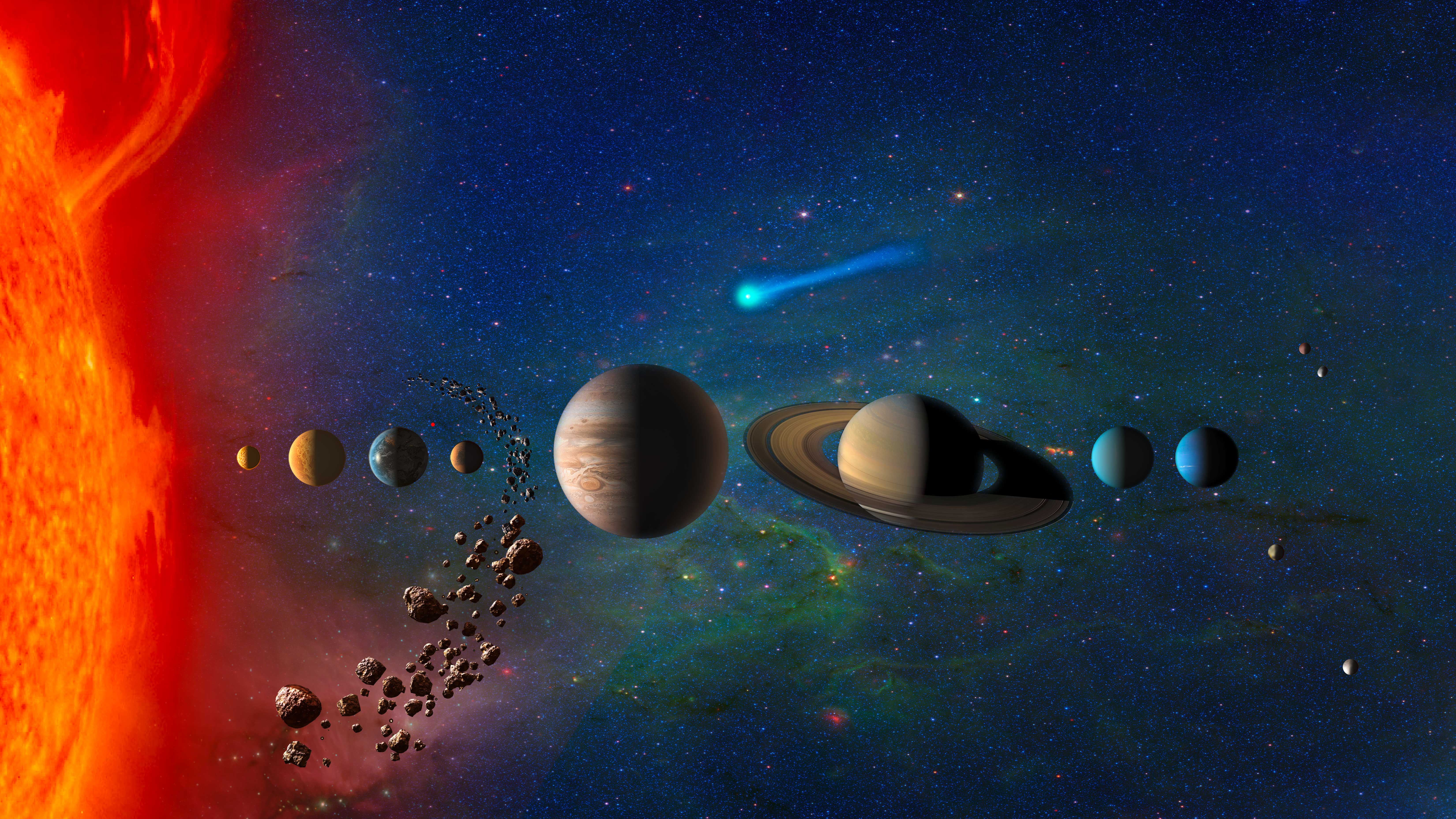
Featured News


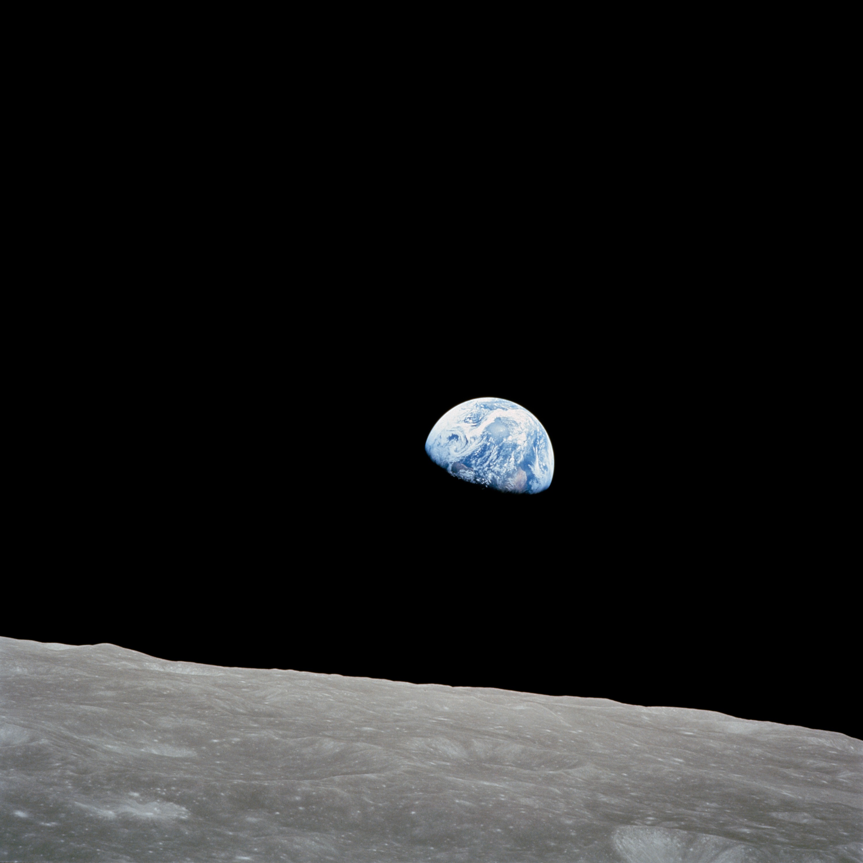
William Anders
We mourn the passing of Apollo Astronaut William “Bill” Anders at the age of 90. Anders was backup pilot for the Gemini XI, Apollo 11 flights, and was lunar module pilot for Apollo 8 — the first lunar orbit mission. On Christmas Eve in 1968, Anders turned his camera toward Earth and captured the legendary “Earthrise” photo.
Learn More


Earth Information Center
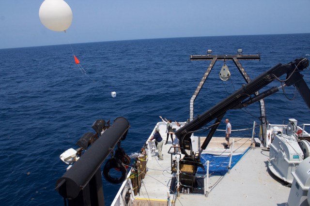
For more than 50 years, NASA satellites have provided data on Earth's land, water, air, temperature, and climate. NASA's Earth Information Center allows visitors to see how our planet is changing in six key areas: sea level rise and coastal impacts, health and air quality, wildfires, greenhouse gases, sustainable energy, and agriculture.
Start Exploring about Earth Information Center
Today
Image Of The Day
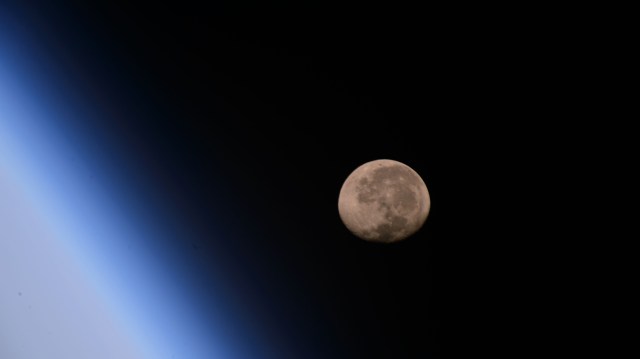
“Earthrise” by NASA Astronaut Bill Anders
The rising Earth is about five degrees above the lunar horizon in this telephoto view taken from the Apollo 8 spacecraft near 110 degrees east longitude. Astronaut Bill Anders took the photo on the morning of Dec. 24, 1968. The South Pole is in the white area near the left end of the terminator. North and South America are under the clouds.

More NASA Images


Explore the Universe from your Inbox
Stay up-to-date on the latest news from NASA–from Earth to the Moon, the Solar System and beyond.
We will never share your email address.


