
Northern Hawk Owl on a building in Juneau, Alaska.
Images
Browse images from a wide range of science topics covered by USGS.
Filter Total Items: 901

Northern Hawk Owl on a building in Juneau, Alaska
Northern Hawk Owl on a building in Juneau, Alaska.

Satellite image of resuspended volcanic ash cloud over Kodiak Island, Alaska
MODIS Aqua 1 km true color satellite image showing resuspended volcanic ash cloud (arrow) generated from high winds scouring exposed ash on the Pacific side of the Katmai volcanic range. The cloud stretches across the Shelikof Straight and western Kodiak Island. Image ID 2010333 taken November 29, 2010. Courtesy NASA.
MODIS Aqua 1 km true color satellite image showing resuspended volcanic ash cloud (arrow) generated from high winds scouring exposed ash on the Pacific side of the Katmai volcanic range. The cloud stretches across the Shelikof Straight and western Kodiak Island. Image ID 2010333 taken November 29, 2010. Courtesy NASA.

Annotated Satellite Image of southern Alaska Showing Anchorage and Kodiak Island
This MODIS Aqua 1-km-resolution, true-color satellite image shows a resuspended ash cloud generated from high winds scouring the dry, unvegetated deposits in the Valley of Ten Thousand Smokes. The cloud stretches across Shelikof Strait to western Kodiak Island.
Location: south-central Alaska, from Kodiak to Anchorage

Bridge over Toklat River
Bridge crossing over Toklat River


View of Toklat River from a bridge
View of Toklat River from a bridge

Remnants of a spruce forest
Remnants of a spruce forest complex following a severe wildfire in the Yukon Flats National Wildlife Refuge, Alaska. Wildfires are the dominant landscape-scale disturbance operating at annual time scales in Alaska, and fires play a major role in the rate and extent of vegetation growth and productivity of a site.
Remnants of a spruce forest complex following a severe wildfire in the Yukon Flats National Wildlife Refuge, Alaska. Wildfires are the dominant landscape-scale disturbance operating at annual time scales in Alaska, and fires play a major role in the rate and extent of vegetation growth and productivity of a site.

Scientist lowering CTD equipment into the water
Mayumi Arimitsu lowering the CTD equipment into the water.
Mayumi Arimitsu lowering the CTD equipment into the water.

Scientist lowering the CTD on the R/V Alaskan Gyre
Mayumi Arimitsu lowering the instrument to measure oceanographic data from the R/V Alaskan Gyre
Mayumi Arimitsu lowering the instrument to measure oceanographic data from the R/V Alaskan Gyre

Mayumi Arimitsu sorting forage fish on the R/V Alaskan Gyre
Mayumi Arimitsu sorting through fish caught in the mid-water trawl on the R/V Alaskan Gyre
Mayumi Arimitsu sorting through fish caught in the mid-water trawl on the R/V Alaskan Gyre

Examining 2008 Eruption of Okmok Volcano in Alaska
Professor Michael Ort (Northern Arizona University) and graduate student Joel Unema examine deposits from the 2008 eruption of Okmok volcano in Alaska as part of their research to reconstruct the complex history of the eruption. Dr.
Professor Michael Ort (Northern Arizona University) and graduate student Joel Unema examine deposits from the 2008 eruption of Okmok volcano in Alaska as part of their research to reconstruct the complex history of the eruption. Dr.

Scientist emptying the trawl contents in a large bucket
Mayumi Arimitsu emptying the trawl contents in a large bucket in Prince William Sound.
Mayumi Arimitsu emptying the trawl contents in a large bucket in Prince William Sound.
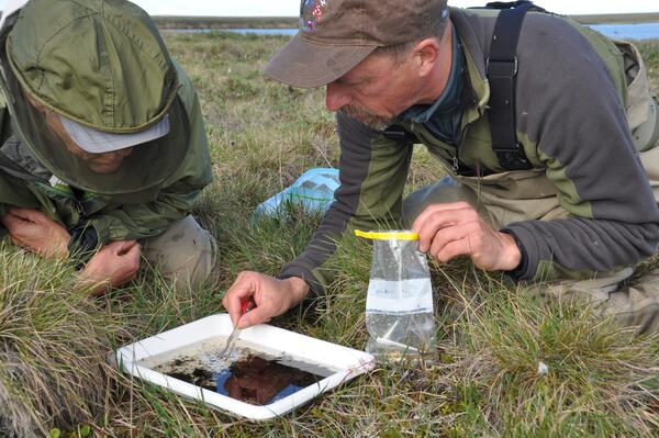
Sorting through invertebrates from a north slope lake of Alaska
As part of the Changing Arctic Ecosystem project, two biologists sampling invertebrates near the Chipp River area.
As part of the Changing Arctic Ecosystem project, two biologists sampling invertebrates near the Chipp River area.

Ice wedge polygons on the north slope of Alaska
Ice wedge polygons near the Chipp River area on the north slope of Alaska
Ice wedge polygons near the Chipp River area on the north slope of Alaska

A north slope camp
An enhanced photo of camp on the north slope.

Ruddy Turnstone
The avian paramyxovirus is found across the planet, infect wild and domestic birds, and sometimes lead to disease outbreaks, but according to a new study led by the USGS, wild ducks and shorebirds do not appear to carry these viruses, which can lead to Newcastle disease that sickens or kills poultry.
The avian paramyxovirus is found across the planet, infect wild and domestic birds, and sometimes lead to disease outbreaks, but according to a new study led by the USGS, wild ducks and shorebirds do not appear to carry these viruses, which can lead to Newcastle disease that sickens or kills poultry.

Whimbrel chick on the Colville River Delta, Alaska
Whimbrel chick on the Colville River Delta, Alaska.
Whimbrel chick on the Colville River Delta, Alaska.

Instrumentation Array, Beaver Creek Near Michael Lake, Alaska
Instrumentation array with a YSI multiparameter sonde, a dissolved CO2 sensor, and a CDOM sensor.
Instrumentation array with a YSI multiparameter sonde, a dissolved CO2 sensor, and a CDOM sensor.

Instrumentation Array, Beaver Creek Above Victoria Creek, Alaska
Instrumentation array with a YSI multiparameter sonde, a dissolved CO2 sensor, and a CDOM sensor.
Instrumentation array with a YSI multiparameter sonde, a dissolved CO2 sensor, and a CDOM sensor.

Andy Reeves Staff Photo
Andy Reeves is holding a Glaucous Gull that was capture, sampled for avian influenza and banded near Barrow, Alaska.
Andy Reeves is holding a Glaucous Gull that was capture, sampled for avian influenza and banded near Barrow, Alaska.

Setting up GPS system before mapping Nome Creek Experimental Watershed
Josh Koch and Steve Jepsen set up a GPS system before starting a day of mapping in the Nome Creek Experimental Watershed. https://www.usgs.gov/centers/asc/science/nome-creek-experimental-watershed?qt-science_
Josh Koch and Steve Jepsen set up a GPS system before starting a day of mapping in the Nome Creek Experimental Watershed. https://www.usgs.gov/centers/asc/science/nome-creek-experimental-watershed?qt-science_