Dr. Kenneth Pierce studied the geology and geomorphology of the greater Yellowstone area for nearly his entire career with the U.S. Geological Survey. From 1965 to present, Dr.
Videos
 Inside USGS, No. 6, Ken Pierce, Heavy Breathing of Yellowstone Caldera
Dr. Kenneth Pierce studied the geology and geomorphology of the greater Yellowstone area for nearly his entire career with the U.S. Geological Survey. From 1965 to present, Dr.
 Inside USGS, No. 5, Pleistocene Glaciations of Greater Yellowstone
Dr. Kenneth Pierce studied the geology and geomorphology of the greater Yellowstone area for nearly his entire career with the U.S. Geological Survey. From 1965 to present, Dr.
Dr. Kenneth Pierce studied the geology and geomorphology of the greater Yellowstone area for nearly his entire career with the U.S. Geological Survey. From 1965 to present, Dr.
 Perchlorate and Selected Metals in Water and Soil within Mount Rushmore National Memorial
Author interview on report "Perchlorate and selected metals in water and soil within Mount Rushmore National Memorial, South Dakota, 2011–15," U.S. Geological Survey Scientific Investigations Report 2016-5030.
Author interview on report "Perchlorate and selected metals in water and soil within Mount Rushmore National Memorial, South Dakota, 2011–15," U.S. Geological Survey Scientific Investigations Report 2016-5030.
This video describes USGS research utilizing remote thermal imaging cameras to study the extent and impact of mange on wolves in Yellowstone National Park.
This video describes USGS research utilizing remote thermal imaging cameras to study the extent and impact of mange on wolves in Yellowstone National Park.
The USGS Northern Prairie Wildlife Research Center, located in the Northern Great Plains state of North Dakota highlights their current and ongoing research on land use and pollinator health.
The USGS Northern Prairie Wildlife Research Center, located in the Northern Great Plains state of North Dakota highlights their current and ongoing research on land use and pollinator health.
 What's the Big Idea? — Charting Change from the Skies
Tom Loveland, research scientist with the USGS Earth Resources Observation and Science Center, explains how he uses data — both past and present — to help scientists, natural resource managers, and the public better understand how the face of the planet is shifting and what that change means.
Tom Loveland, research scientist with the USGS Earth Resources Observation and Science Center, explains how he uses data — both past and present — to help scientists, natural resource managers, and the public better understand how the face of the planet is shifting and what that change means.
 What's the Big Idea? — Creating Cleaner Energy from Coal
Elliott Barnhart, a hydrologist with the USGS Wyoming-Montana Water Science Center, describes his work developing what could be a cleaner way to develop coal.
Elliott Barnhart, a hydrologist with the USGS Wyoming-Montana Water Science Center, describes his work developing what could be a cleaner way to develop coal.
 What's the Big Idea?—Using Weather Equip. to Monitor Animal Movement
Robb Diehl, research ecologist at the USGS Northern Rocky Mountain Science Center, explains how he uses remote sensing technology — particularly weather radar — to better understand how flying animals affect human activities.
Producer: Jacob Massey, USGS
Camera: Paul Laustsen, USGS
Robb Diehl, research ecologist at the USGS Northern Rocky Mountain Science Center, explains how he uses remote sensing technology — particularly weather radar — to better understand how flying animals affect human activities.
Producer: Jacob Massey, USGS
Camera: Paul Laustsen, USGS
Author interview on stormwater runoff report for Rapid City, SD (U.S. Geological Survey Scientific Investigations Report 2015-5069. The U.S. Geological Survey completed a study of stormwater in Rapid City during 2008-2014 in cooperation with the City of Rapid City.
Author interview on stormwater runoff report for Rapid City, SD (U.S. Geological Survey Scientific Investigations Report 2015-5069. The U.S. Geological Survey completed a study of stormwater in Rapid City during 2008-2014 in cooperation with the City of Rapid City.
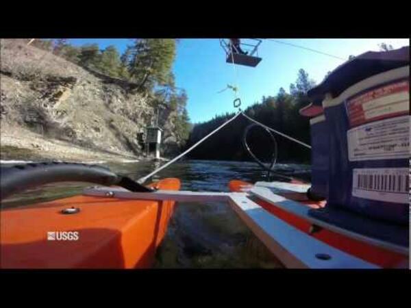
This short clip was made by attaching a GoPro camera to an acoustic Doppler current profiler. The clips shows USGS streamgage station 12304500, Yaak River near Troy, MT, and a hydrographer on the cableway using the ADCP to measure streamflow.
This short clip was made by attaching a GoPro camera to an acoustic Doppler current profiler. The clips shows USGS streamgage station 12304500, Yaak River near Troy, MT, and a hydrographer on the cableway using the ADCP to measure streamflow.
 2013 Landsat Data Continuity Mission LDCM Hand off Video
A video on the 2013 Landsat Data Continuity Mission Landsat Data Continuity Mission hand off
A video on the 2013 Landsat Data Continuity Mission Landsat Data Continuity Mission hand off
A 2013 promotional video on Landsat Data Continuity Mission: A New Era
A 2013 promotional video on Landsat Data Continuity Mission: A New Era
A 2013 video on the Landsat Data Continuity Mission
A 2013 video on the Landsat Data Continuity Mission
A 2013 video highlighting Landsat 8's orbits, from the USGS Earth Resources Observation and Science (EROS) Center.
A 2013 video highlighting Landsat 8's orbits, from the USGS Earth Resources Observation and Science (EROS) Center.
 Water-level Change in the High Plains Aquifer System
In 1986, Congress directed the USGS to regularly report groundwater-level changes in the High Plains aquifer system. To comply with this directive, the USGS compares water levels measured every two years. By measuring water levels across the entire aquifer in one year, measurements made two years later enable calculation of changes over time.
In 1986, Congress directed the USGS to regularly report groundwater-level changes in the High Plains aquifer system. To comply with this directive, the USGS compares water levels measured every two years. By measuring water levels across the entire aquifer in one year, measurements made two years later enable calculation of changes over time.
A 2012 video highlighting Earth As Art.
A 2012 video highlighting Earth As Art.
 2012 Landsat Promotional Global Perspective of Natural Changes
A promotional video on Landsat's Global Perspective of Natural Changes.
A promotional video on Landsat's Global Perspective of Natural Changes.
This video describes USGS research utilizing remote thermal imaging cameras to study the extent and impact of mange on wolves in Yellowstone National Park.
This video describes USGS research utilizing remote thermal imaging cameras to study the extent and impact of mange on wolves in Yellowstone National Park.
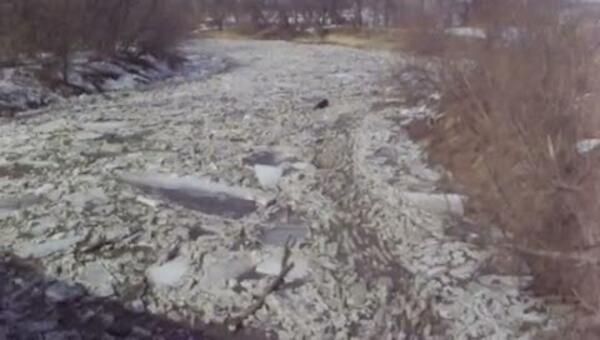
 Ice Jam on the Little Nemaha River at Auburn, Nebraska
A 1-minute video shows ice flows on the Little Nemaha River at the streamgaging station at Auburn, Nebraska.
A 1-minute video shows ice flows on the Little Nemaha River at the streamgaging station at Auburn, Nebraska.
 Scientific Diving: Invasive Species Research at Flathead Lake Montana
USGS - GLSC SCUBA divers search Flathead Lake, MT for zebra mussels after water quality samples detected the presence of a larval stage. The dive team did not find evidence of adult zebra mussels.
USGS - GLSC SCUBA divers search Flathead Lake, MT for zebra mussels after water quality samples detected the presence of a larval stage. The dive team did not find evidence of adult zebra mussels.
A video celebrating the 25th Anniversary of Landsat 5.
A video celebrating the 25th Anniversary of Landsat 5.


