
HVO field crews are at the summit of Mauna Loa to make observations and collect information about the eruption that began on November 27, 2022. The eruption began at the summit and migrated to the Northeast Rift Zone, where this photo was taken around 10:00 am local time (HST) on November 28, 2022.
All Multimedia
Access all multimedia to include images, video, audio, webcams, before-after imagery, and more. Filter and explore with filtering options to refine search.
Filter Total Items: 26507

Mauna Loa Observations
HVO field crews are at the summit of Mauna Loa to make observations and collect information about the eruption that began on November 27, 2022. The eruption began at the summit and migrated to the Northeast Rift Zone, where this photo was taken around 10:00 am local time (HST) on November 28, 2022.

Mauna Loa Eruption 2022 - Thermal Imagery
Video showing thermal imagery from the 2022 Mauna Loa eruption which began around 11:30pm HST.
Video showing thermal imagery from the 2022 Mauna Loa eruption which began around 11:30pm HST.

Mauna Loa eruption as viewed from Waikoloa
Mauna Loa eruption as viewed from Waikoloa at about 1:25am local time (HST). The eruption is occurring from the summit of the volcano, though lava has overflowed the caldera.
Mauna Loa eruption as viewed from Waikoloa at about 1:25am local time (HST). The eruption is occurring from the summit of the volcano, though lava has overflowed the caldera.

Image of the Week - Lake Mead and the Megadrought
Lake Mead and the Mega Drought.
Image of the Week.
Drought over the past 20 years in the Colorado River Basin, and a growing demand for water, have brought Lake Mead to historically low levels.
In 1972, the year Landsat 1 captured its first images, Lake Mead’s elevation was 1,155 above sea level.
Lake Mead and the Mega Drought.
Image of the Week.
Drought over the past 20 years in the Colorado River Basin, and a growing demand for water, have brought Lake Mead to historically low levels.
In 1972, the year Landsat 1 captured its first images, Lake Mead’s elevation was 1,155 above sea level.

Eyes on Earth Episode 84 - Hurricane Disturbance Mapping
When disaster strikes, near-real-time images of its effects can be invaluable. In this episode of Eyes on Earth, we learn about how a newly developed system using the Harmonized Landsat Sentinel-2 dataset and artificial intelligence was put to the test when Hurricane Ian tore through Florida in late September 2022.
When disaster strikes, near-real-time images of its effects can be invaluable. In this episode of Eyes on Earth, we learn about how a newly developed system using the Harmonized Landsat Sentinel-2 dataset and artificial intelligence was put to the test when Hurricane Ian tore through Florida in late September 2022.
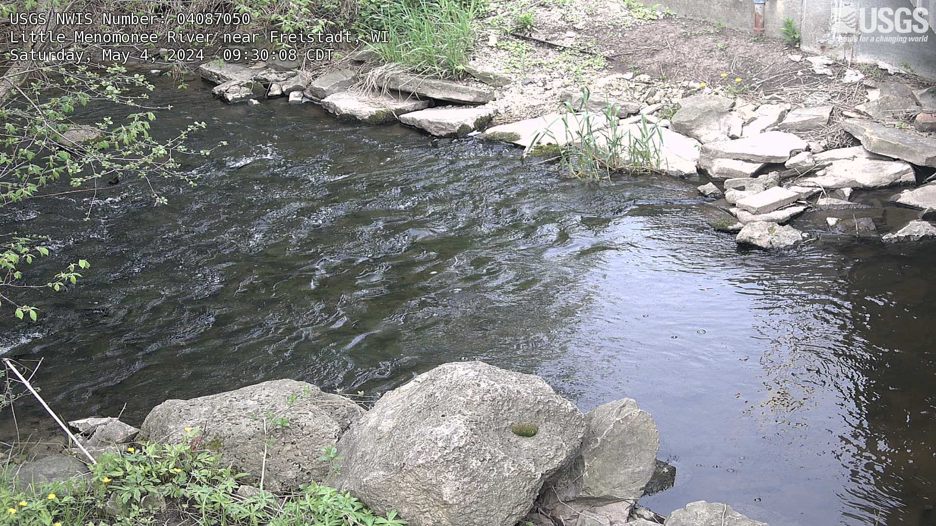
Streamgage at Little Menomonee River near Freistadt, Wisconsin
Webcam at streamgage at Little Menomonee River near Freistadt, Wisconsin. https://waterdata.usgs.gov/monitoring-location/04087050/
Webcam at streamgage at Little Menomonee River near Freistadt, Wisconsin. https://waterdata.usgs.gov/monitoring-location/04087050/
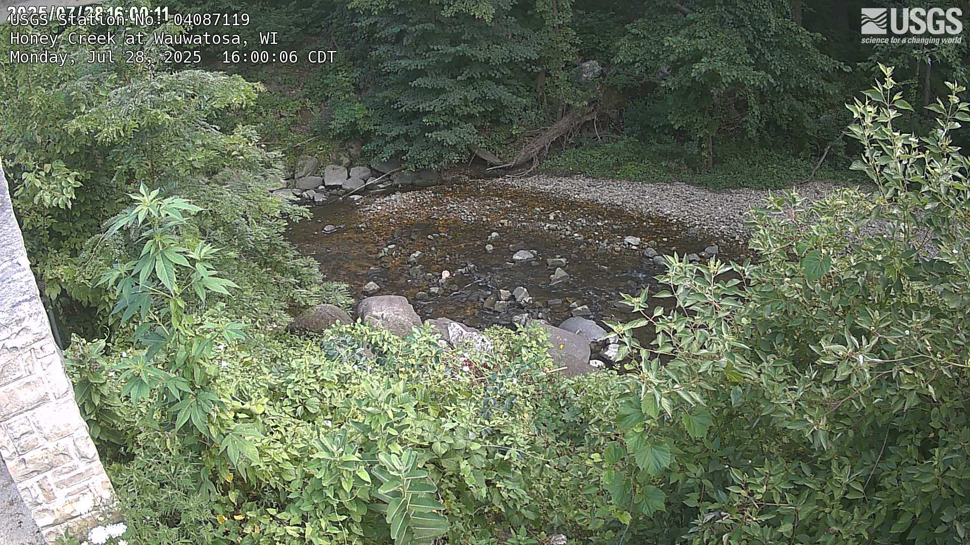
Streamgage at Honey Creek at Wauwatosa, Wisconsin
Webcam at streamgage at Honey Creek at Wauwatosa, Wisconsin. https://waterdata.usgs.gov/monitoring-location/04087119
Webcam at streamgage at Honey Creek at Wauwatosa, Wisconsin. https://waterdata.usgs.gov/monitoring-location/04087119
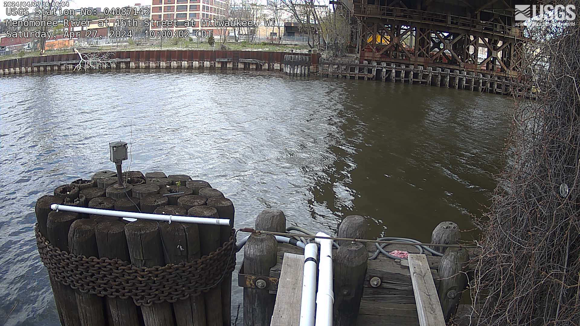
Streamgage at Menomonee River at 16th Street at Milwaukee, Wisconsin
Webcam at streamgage at Menomonee River at 16th Street at Milwaukee, Wisconsin. https://waterdata.usgs.gov/monitoring-location/04087142
Webcam at streamgage at Menomonee River at 16th Street at Milwaukee, Wisconsin. https://waterdata.usgs.gov/monitoring-location/04087142
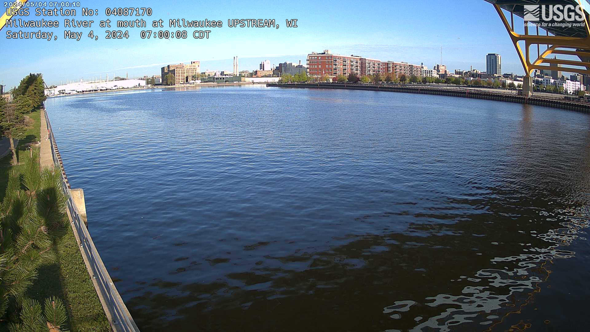
Streamgage at mouth of Milwaukee River (upstream) at Milwaukee, Wisconsin
Webcam at streamgage at mouth of Milwaukee River (upstream) at Milwaukee, Wisconsin. https://waterdata.usgs.gov/monitoring-location/04087170/
Webcam at streamgage at mouth of Milwaukee River (upstream) at Milwaukee, Wisconsin. https://waterdata.usgs.gov/monitoring-location/04087170/
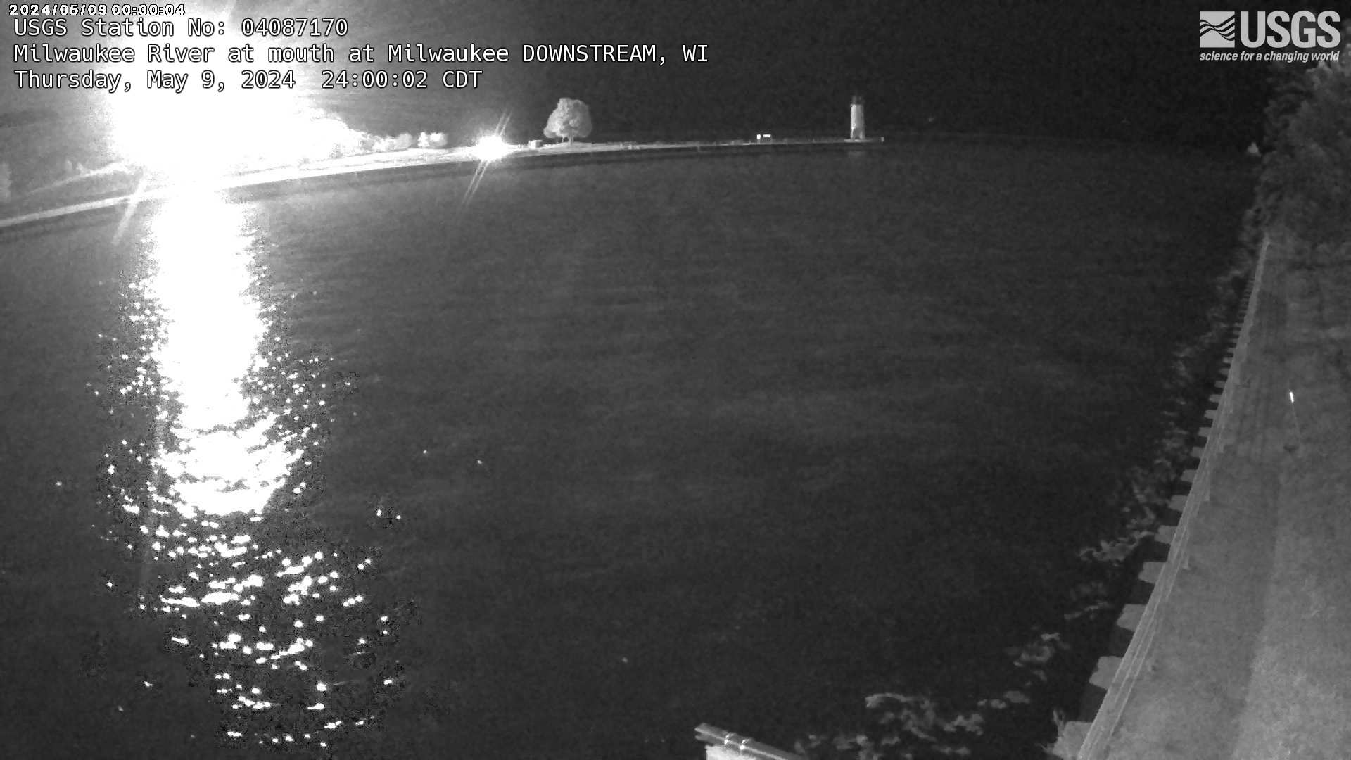
Streamgage at mouth of Milwaukee River (downstream) at Milwaukee, Wisconsin
Webcam at streamgage at mouth of Milwaukee River (downstream) at Milwaukee, Wisconsin. https://waterdata.usgs.gov/monitoring-location/04087170/
Webcam at streamgage at mouth of Milwaukee River (downstream) at Milwaukee, Wisconsin. https://waterdata.usgs.gov/monitoring-location/04087170/
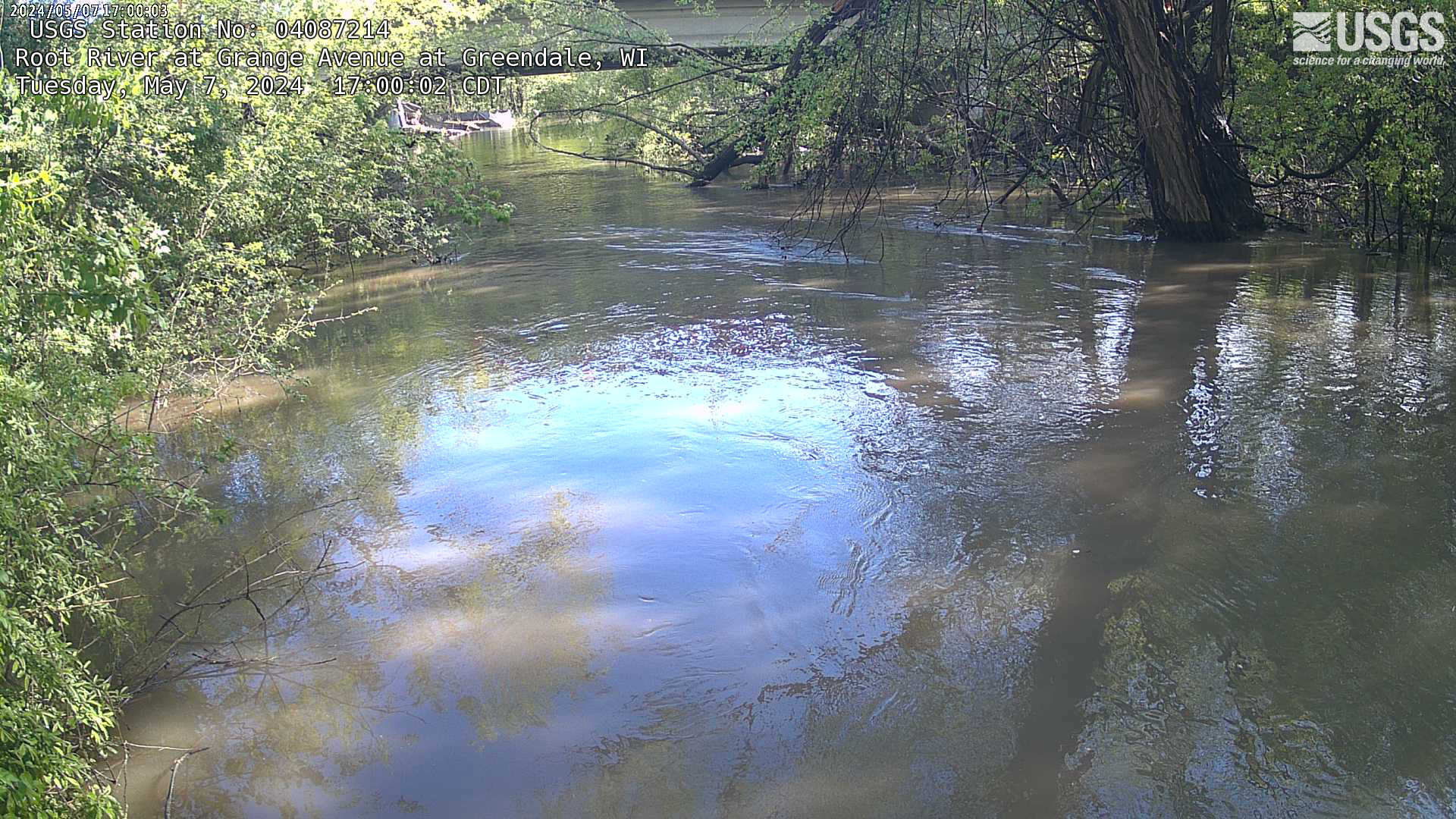
Streamgage at Root River at Grange at Greenfield, Wisconsin (04087214)
Webcam at streamgage at Root River at Grange at Greenfield, Wisconsin. https://waterdata.usgs.gov/monitoring-location/04087214
Webcam at streamgage at Root River at Grange at Greenfield, Wisconsin. https://waterdata.usgs.gov/monitoring-location/04087214

Virginia Extensometers Depth Comparison
How Deep Do We Drill?

Eyes on Earth Episode 83 - ECOSTRESS and Burn Severity
ECOSTRESS, or ECOsystem Spaceborne Thermal Radiometer Experiment on Space Station, data provides variables related to plant water stress, including evapotranspiration, evaporative stress index and water use efficiency. The NASA Land Processes Distributed Active Archive Center (LP DAAC) at EROS provides storage and distribution of ECOSTRESS data.
ECOSTRESS, or ECOsystem Spaceborne Thermal Radiometer Experiment on Space Station, data provides variables related to plant water stress, including evapotranspiration, evaporative stress index and water use efficiency. The NASA Land Processes Distributed Active Archive Center (LP DAAC) at EROS provides storage and distribution of ECOSTRESS data.

Hydrologic Unit and National Hydrography Dataset Plus Medium Resolution Spatial Scales Example
Hydrologic Unit and National Hydrography Dataset Plus Medium Resolution Spatial Scales Example
Hydrologic Unit and National Hydrography Dataset Plus Medium Resolution Spatial Scales Example

Monthly update of activity at Yellowstone Volcano for November 1, 2022
November is Native American Heritage Month. Mike Poland, scientist-in-charge of the Yellowstone Volcano Observatory, talks about Indigenous peoples in the Yellowstone region and describes Yellowstone’s recent seismic, deformation, and geyser activity in this November 1, 2022 monthly update.
November is Native American Heritage Month. Mike Poland, scientist-in-charge of the Yellowstone Volcano Observatory, talks about Indigenous peoples in the Yellowstone region and describes Yellowstone’s recent seismic, deformation, and geyser activity in this November 1, 2022 monthly update.

October 28, 2022 — Kīlauea Summit Overflight
An overflight, at approximately 10 a.m., on October 28, 2022, provided aerial views of the eruption within Halema‘uma‘u crater. Lava continues to erupt from the west vent area, supplying the lava pond in the western portion of Halema‘uma‘u.
An overflight, at approximately 10 a.m., on October 28, 2022, provided aerial views of the eruption within Halema‘uma‘u crater. Lava continues to erupt from the west vent area, supplying the lava pond in the western portion of Halema‘uma‘u.

October 28, 2022 — Mauna Loa Overflight
An overflight at approximately 8:30 a.m. on October 28, 2022, provided aerial views of Mauna Loa Volcano, which is not erupting. This video contains several clips from the overflight, shown at 2X speed.
An overflight at approximately 8:30 a.m. on October 28, 2022, provided aerial views of Mauna Loa Volcano, which is not erupting. This video contains several clips from the overflight, shown at 2X speed.

PubTalk-10/2022: Blowing in the Wind - Science to Help Understand and Help Reduce Wildlife Impacts from Wind Energy
linkBlowing in the Wind
Science to Help Understand and Help Reduce Wildlife Impacts from Wind Energy
by Manuela Huso
USGS, Forest and Rangeland Ecosystem Science Center
PubTalk-10/2022: Blowing in the Wind - Science to Help Understand and Help Reduce Wildlife Impacts from Wind Energy
linkBlowing in the Wind
Science to Help Understand and Help Reduce Wildlife Impacts from Wind Energy
by Manuela Huso
USGS, Forest and Rangeland Ecosystem Science Center

Eyes on Earth Episode 82 - Introduction to GEDI
The Global Ecosystem Dynamics Investigation, or GEDI, instrument on the International Space Station acquires lidar waveforms to observe the Earth’s surface in 3D. The GEDI lidar measures the height and density of objects, so it provides information such as surface elevation and tree canopy height and cover.
The Global Ecosystem Dynamics Investigation, or GEDI, instrument on the International Space Station acquires lidar waveforms to observe the Earth’s surface in 3D. The GEDI lidar measures the height and density of objects, so it provides information such as surface elevation and tree canopy height and cover.

Kīlauea summit gas team fieldwork – October 22, 2022
HVO volcanic gas specialists make sulfur dioxide (SO~2~) emission rate measurements downwind of the eruption within Halema‘uma‘u crater, Kīlauea summit. This video shows the typical fieldwork involved with measuring SO2 emission rates, during which HVO scientists drive traverses beneath the plume in the closed area of Hawai‘i Volcanoes National Park.
HVO volcanic gas specialists make sulfur dioxide (SO~2~) emission rate measurements downwind of the eruption within Halema‘uma‘u crater, Kīlauea summit. This video shows the typical fieldwork involved with measuring SO2 emission rates, during which HVO scientists drive traverses beneath the plume in the closed area of Hawai‘i Volcanoes National Park.

Peligros Costeros de Puerto Rico
La isla de Puerto Rico está sujeta a numerosos peligros naturales, incluyendo huracanes y erosión costera. La información sobre cómo responden los entornos costeros de la isla a estos eventos es fundamental para reforzar la resiliencia costera. La Dra.
La isla de Puerto Rico está sujeta a numerosos peligros naturales, incluyendo huracanes y erosión costera. La información sobre cómo responden los entornos costeros de la isla a estos eventos es fundamental para reforzar la resiliencia costera. La Dra.