


The eruption on Kīlauea's Southwest Rift Zone remained paused on Tuesday, June 4, but Hawaiian Volcano Observatory geologists visited the area to take measurements of the previous day's lava flows. Here, a geologist examines part of the lava flow from fissure 2.
Multimedia
The USGS Volcano Observatories host videos, photos, web camera views, and sometimes podcasts to share visual and audio information about volcanic eruptions and volcanic processes.
USGS Volcano Observatories Multimedia
USGS Volcano Observatories Multimedia
Check out the photos, videos, webcams, and other multimedia from the USGS Volcano Observatories.
Images

Geologist examines new lava flow from Kīlauea's Southwest Rift Zone eruption, June 4, 2024
The eruption on Kīlauea's Southwest Rift Zone remained paused on Tuesday, June 4, but Hawaiian Volcano Observatory geologists visited the area to take measurements of the previous day's lava flows. Here, a geologist examines part of the lava flow from fissure 2.

Glow from the eruption of Kīlauea volcano - June 3, 2024
The glow from the eruption of Kīlauea volcano, visible from Volcano House in Hawai'i Volcanoes National Park during the early morning hours of June 3. Image courtesy of Volcano House.
The glow from the eruption of Kīlauea volcano, visible from Volcano House in Hawai'i Volcanoes National Park during the early morning hours of June 3. Image courtesy of Volcano House.

Aerial image of the Southwest Rift Zone eruption of Kīlauea
Aerial image of the Southwest Rift Zone eruption of Kīlauea, viewed during an overflight at approximately 6 a.m. on June 3, 2024. USGS image.
Aerial image of the Southwest Rift Zone eruption of Kīlauea, viewed during an overflight at approximately 6 a.m. on June 3, 2024. USGS image.
Videos
")
Swimming Pools at Yellowstone? (Yellowstone Monthly Update - June 2024)
Up until the 1950s, visitors to the Old Faithful area could take a dip. Not at a geyser, but in a real swimming pool. The full story is in this month’s video update.
Up until the 1950s, visitors to the Old Faithful area could take a dip. Not at a geyser, but in a real swimming pool. The full story is in this month’s video update.
Aerial video of the Southwest Rift Zone eruption of Kīlauea
Aerial video of the Southwest Rift Zone eruption of Kīlauea, viewed during an overflight at approximately 6 a.m. on June 3, 2024. USGS video.
Aerial video of the Southwest Rift Zone eruption of Kīlauea, viewed during an overflight at approximately 6 a.m. on June 3, 2024. USGS video.
")
Flyover of Southwest Rift Zone (June 3, 2024)
During an overflight at approximately 6 a.m., USGS Hawaiian Volcano Observatory geologists observed the fissures system that opened on the upper portion of the Southwest Rift Zone early this morning. Approximately half a mile (about 1 km) in length, only the southwest portion of the system was active by daylight.
During an overflight at approximately 6 a.m., USGS Hawaiian Volcano Observatory geologists observed the fissures system that opened on the upper portion of the Southwest Rift Zone early this morning. Approximately half a mile (about 1 km) in length, only the southwest portion of the system was active by daylight.

HVO geologists observe new fissure system
USGS Hawaiian Volcano Observatory geologists visited the fissure that formed on the upper Southwest Rift Zone of Kīlauea volcano early this morning, June 3, 2024. Elevated gas emissions are being carried downwind, in a southwest direction. USGS video.
USGS Hawaiian Volcano Observatory geologists visited the fissure that formed on the upper Southwest Rift Zone of Kīlauea volcano early this morning, June 3, 2024. Elevated gas emissions are being carried downwind, in a southwest direction. USGS video.
")
Mount St. Helens VS Yellowstone (Yellowstone Monthly Update - May 2024)
Mount St. Helens and Yellowstone are two of the most well-known volcanoes in the United States. They have some pretty obvious differences, but they have some similarities as well. So, just how similar are Mount St. Helens and Yellowstone?
Mount St. Helens and Yellowstone are two of the most well-known volcanoes in the United States. They have some pretty obvious differences, but they have some similarities as well. So, just how similar are Mount St. Helens and Yellowstone?

Mount St. Helens: Land of Transformation
Mt St. Helens before 1980, Land of Transformation
A stylistic interpretation of pre eruption snowcapped Mount St Helens as seen from a blue Spirit Lake with green rolling hills.
Text changes to May 18, 1980, Eruption. There is a grey explosion of rocks and smoke coming out the top of Mt St Helens. The hills and water are grey and brown.
Audio

Lava lake activity from inside Halema`uma`u Crater
Sounds of lava lake activity within Kilauea Volcano's summit vent inside Halema`uma`u Crater on the afternoon of February 14, 2011. The continuous "crashing wave" noise is the sound of churning lava as gases are released from the lake surface, which is in nearly constant motion.
Sounds of lava lake activity within Kilauea Volcano's summit vent inside Halema`uma`u Crater on the afternoon of February 14, 2011. The continuous "crashing wave" noise is the sound of churning lava as gases are released from the lake surface, which is in nearly constant motion.

How far did the ash from Mount St. Helens travel?
Welcome to CoreFacts, where we're always short on time and big on science. I'm Brian Campbell. Today's question is …
How far did the ash from Mount St. Helens travel?
Welcome to CoreFacts, where we're always short on time and big on science. I'm Brian Campbell. Today's question is …
How far did the ash from Mount St. Helens travel?

Where did the name "Mount St. Helens" come from?
Listen to hear the answer.

Dramatic Developments at Kilauea Volcano
Kilauea Volcano in Hawaii has experienced its first explosive eruption in more than 80 years and is now spewing noxious gas at 10 times the normal rate. John Eichelberger, head of the USGS Volcano Hazards Program, fills us in on the situation.
Kilauea Volcano in Hawaii has experienced its first explosive eruption in more than 80 years and is now spewing noxious gas at 10 times the normal rate. John Eichelberger, head of the USGS Volcano Hazards Program, fills us in on the situation.
Webcams
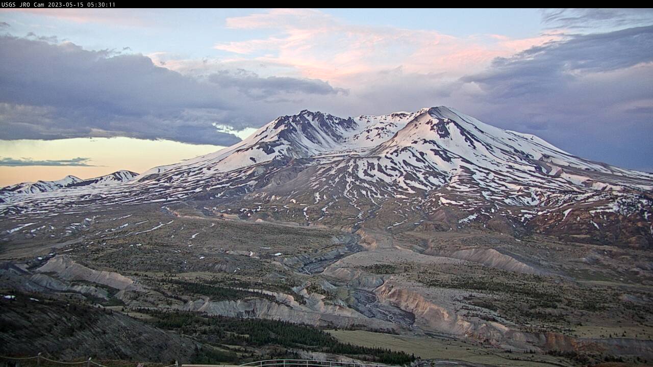
Johnston Ridge Observatory, Mount St. Helens
A debris flow in Mount St.

[HLcam] Live Image of Mauna Loa's northwest flank from Hualālai volcano
Live view of the northwest flank of Mauna Loa; the view is from the southeast flank of Hualālai [HLcam]. This camera is a pan-tilt-zoom model and the view may change depending on activity.
Live view of the northwest flank of Mauna Loa; the view is from the southeast flank of Hualālai [HLcam]. This camera is a pan-tilt-zoom model and the view may change depending on activity.
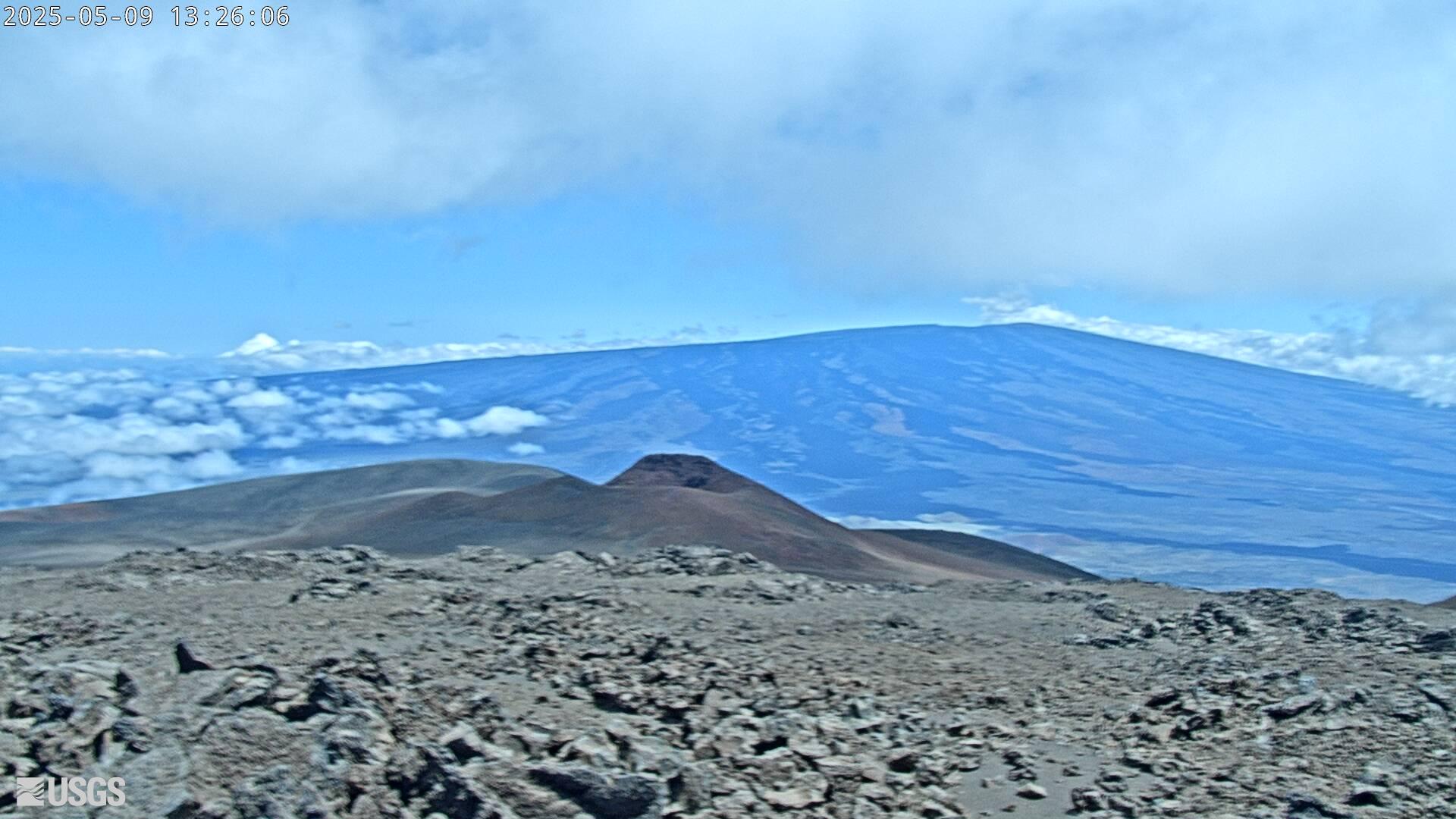
[MK2cam] Mauna Loa's Summit and Northeast Rift Zone from Mauna Kea
Live Image of Mauna Loa's Summit and Northeast Rift Zone from Mauna Kea [MK2cam]. This camera is a pan-tilt-zoom model and the view may change depending on activity.
Live Image of Mauna Loa's Summit and Northeast Rift Zone from Mauna Kea [MK2cam]. This camera is a pan-tilt-zoom model and the view may change depending on activity.

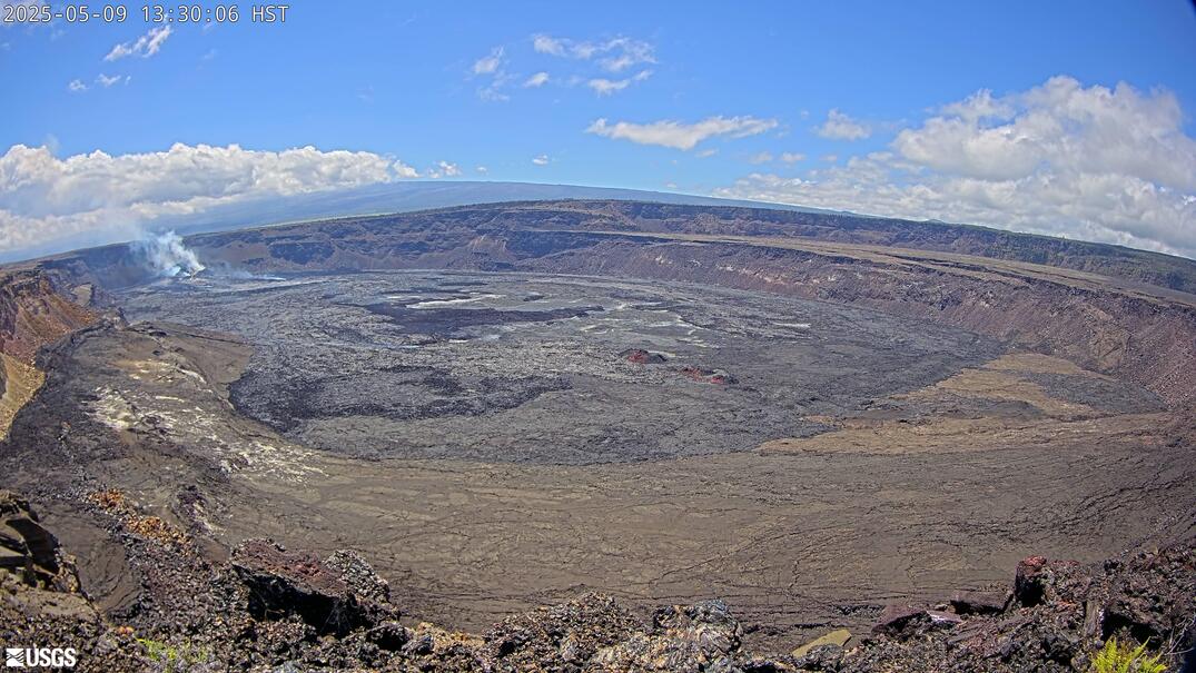
[V1] Kīlauea caldera views
Live view of Kīlauea caldera, from the northwest rim of the caldera [V1cam]. This camera is a pan-tilt-zoom model and the view may change depending on activity.
Disclaimer
Live view of Kīlauea caldera, from the northwest rim of the caldera [V1cam]. This camera is a pan-tilt-zoom model and the view may change depending on activity.
Disclaimer
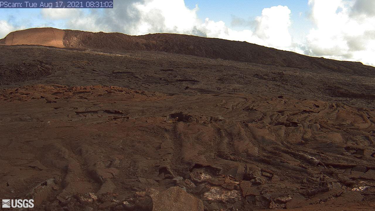
[PScam] Puʻu ʻŌʻō South Flank from the South Rim
This image is from a temporary research camera positioned just south of Puʻu ʻŌʻō, looking north at the southern flank of Puʻu ʻŌʻō's cone.
Disclaimer
This image is from a temporary research camera positioned just south of Puʻu ʻŌʻō, looking north at the southern flank of Puʻu ʻŌʻō's cone.
Disclaimer
[B1cam] - Kīlauea caldera down-dropped block and Halemaʻumaʻu
Live view of Kīlauea caldera down-dropped block and Halemaʻumaʻu crater from the east rim of the caldera.
Live view of Kīlauea caldera down-dropped block and Halemaʻumaʻu crater from the east rim of the caldera.