
Image of the Vermont flood event viewer comparing high-water mark from a 2023 flood event to Tropical Storm Irene in 2011.
Multimedia
Images

Vermont Flood Data Viewer
Image of the Vermont flood event viewer comparing high-water mark from a 2023 flood event to Tropical Storm Irene in 2011.

Probability for PFAS in groundwater at the depth of private drinking water supply
USGS national estimates of the probability for PFAS in groundwater at the depth of private drinking water supply. Read the associated USGS study at https://doi.org/10.1126/science.ado6638.
USGS national estimates of the probability for PFAS in groundwater at the depth of private drinking water supply. Read the associated USGS study at https://doi.org/10.1126/science.ado6638.

Probability for PFAS in groundwater at the depth of public drinking water supply
USGS national estimates of the probability for PFAS in groundwater at the depth of public drinking water supply. Read the associated USGS study at https://doi.org/10.1126/science.ado6638.
USGS national estimates of the probability for PFAS in groundwater at the depth of public drinking water supply. Read the associated USGS study at https://doi.org/10.1126/science.ado6638.

Ribbon Cutting of USGS Connecticut Office
The USGS New England Water Science Center co-located their Connecticut office to the campus of Goodwin University in 2023. The university hosted an official ribbon cutting of the new facility in October 2024 with federal, state, and local politicians attending and sharing their well wishes.
The USGS New England Water Science Center co-located their Connecticut office to the campus of Goodwin University in 2023. The university hosted an official ribbon cutting of the new facility in October 2024 with federal, state, and local politicians attending and sharing their well wishes.

Ribbon Cutting at USGS Office at Goodwin University
USGS New England Water Science Center Deputy Director holds a certificate from the General Assembly of the State of Connecticut.
USGS New England Water Science Center Deputy Director holds a certificate from the General Assembly of the State of Connecticut.
Videos

40 Years Presenting Cape Cod Hydrology
USGS has studied the hydrology of Cape Cod and the Islands and demonstrated our science to the public for more than four decades. Many visitor groups from government agencies, universities, nonprofit organizations, and local communities have learned about our groundwater and surface water research in southeastern Massachusetts.
USGS has studied the hydrology of Cape Cod and the Islands and demonstrated our science to the public for more than four decades. Many visitor groups from government agencies, universities, nonprofit organizations, and local communities have learned about our groundwater and surface water research in southeastern Massachusetts.

USGS New England Water Science Center
This video is an overview of the USGS New England Water Science Center's research and monitoring efforts to support the water issue needs of New England and the Nation.
This video is an overview of the USGS New England Water Science Center's research and monitoring efforts to support the water issue needs of New England and the Nation.

The USGS Northeast Region: Delivering Science for Better Decisions
This video is an introduction of the USGS Northeast Region's science efforts to support society's evolving needs through its engaged and diverse workforce.
This video is an introduction of the USGS Northeast Region's science efforts to support society's evolving needs through its engaged and diverse workforce.

Kennebec River
B-roll video of flooding in Augusta, Maine from monitoring location camera on the Kennebec River.
B-roll video of flooding in Augusta, Maine from monitoring location camera on the Kennebec River.

Hot Stream, Cold Stream – Measuring the impact of Groundwater on Stream Temperature
Groundwater that drains to surface water through seeps and springs is generally referred to as “discharge.” Groundwater discharge is a primary component of stream base flow, or streamflow that occurs between storms, periods of snowmelt runoff, and periods of quick soil drainage.
Groundwater that drains to surface water through seeps and springs is generally referred to as “discharge.” Groundwater discharge is a primary component of stream base flow, or streamflow that occurs between storms, periods of snowmelt runoff, and periods of quick soil drainage.
")
Hot Stream, Cold Stream – Measuring the impact of Groundwater on Stream Temperature (AD)
Groundwater that drains to surface water through seeps and springs is generally referred to as “discharge.” Groundwater discharge is a primary component of stream base flow, or streamflow that occurs between storms, periods of snowmelt runoff, and periods of quick soil drainage.
Groundwater that drains to surface water through seeps and springs is generally referred to as “discharge.” Groundwater discharge is a primary component of stream base flow, or streamflow that occurs between storms, periods of snowmelt runoff, and periods of quick soil drainage.
Webcams
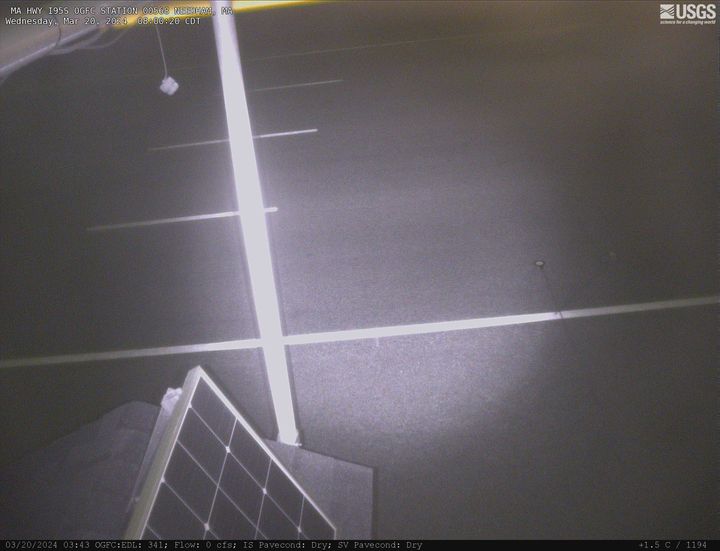
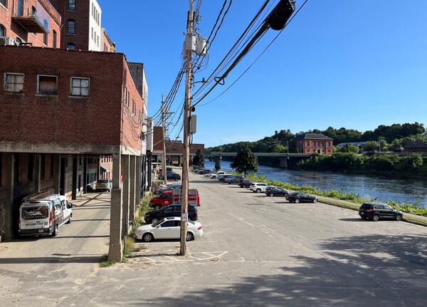
MA HWY I95S OGFC Station 00568 Needham, Massachusetts
MA-HWY-I95S-OGFC-STATION 00568 Needham, MA. The highway monitoring station 421652071120601 is located along Interstate 95 in Norfolk County, Massachusetts.
MA-HWY-I95S-OGFC-STATION 00568 Needham, MA. The highway monitoring station 421652071120601 is located along Interstate 95 in Norfolk County, Massachusetts.
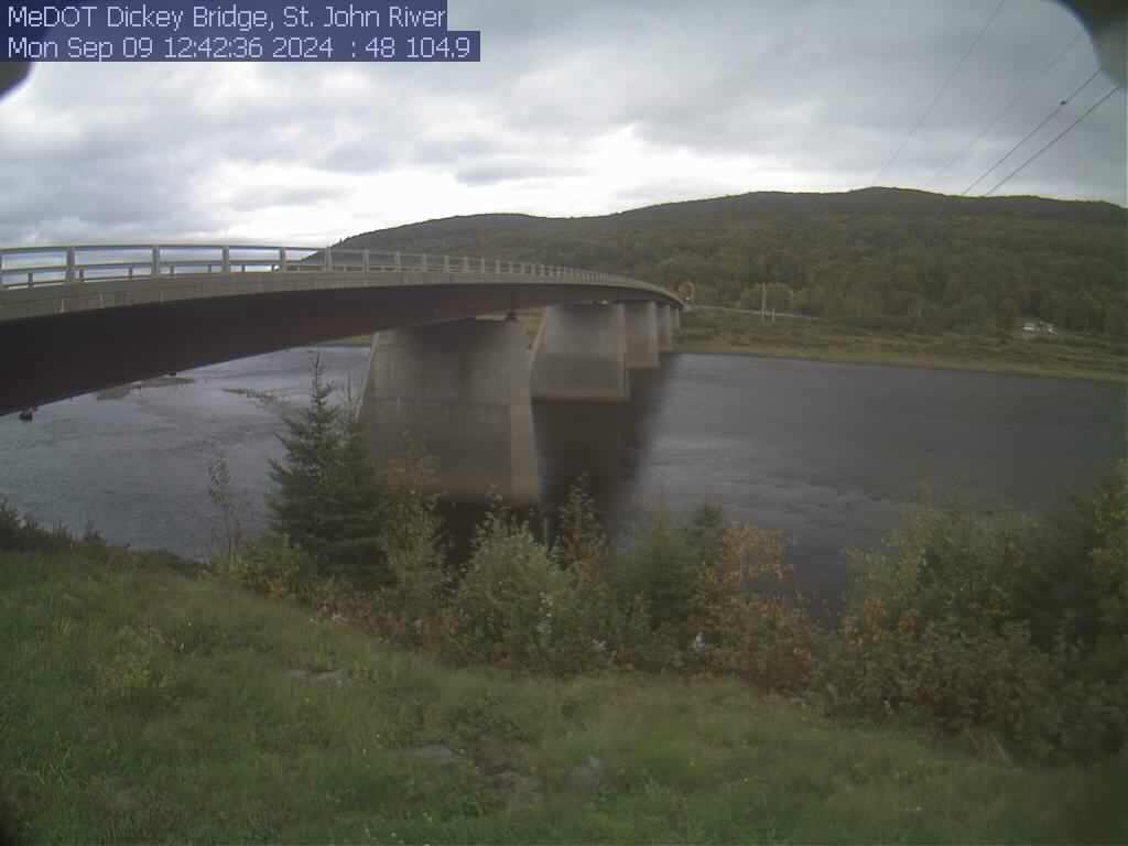
St. John River at Dickey, Maine (01037050)
View of the St. John River from the webcam located at St. John River at Dickey, Maine (01037050)
View of the St. John River from the webcam located at St. John River at Dickey, Maine (01037050)
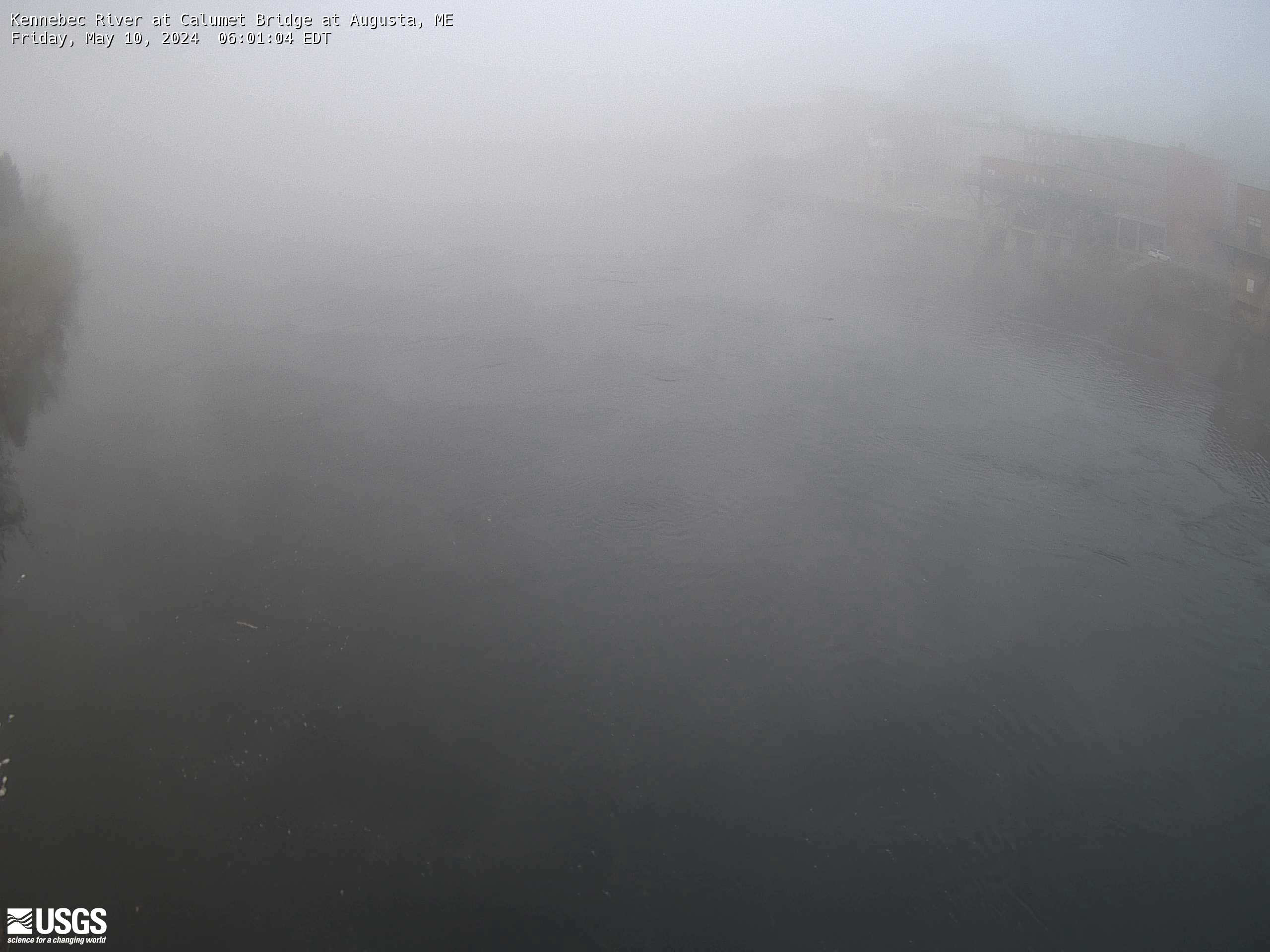
Kennebec River at Calumet Bridge at Augusta, Maine (01049320)
Kennebec River at Calumet Bridge at Augusta, Maine (01049320)
Station operated in cooperation with the Maine Emergency Management Agency and the Maine River Flow Advisory Commission.
Kennebec River at Calumet Bridge at Augusta, Maine (01049320)
Station operated in cooperation with the Maine Emergency Management Agency and the Maine River Flow Advisory Commission.