
Quonopaug Brook at Rt 116 near North Scituate, Rhode Island. Monitoring location 01115183 is a tributary to the Scituate Reservoir in Providence County, Rhode Island. Current conditions of discharge and gage height are available.
Webcams
New England Water Science Center Webcams
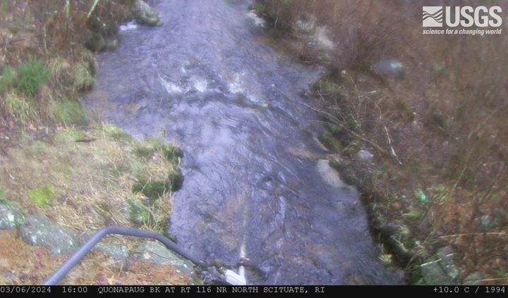
Quonopaug Brook at Rt 116 near North Scituate, Rhode Island
Quonopaug Brook at Rt 116 near North Scituate, Rhode Island. Monitoring location 01115183 is a tributary to the Scituate Reservoir in Providence County, Rhode Island. Current conditions of discharge and gage height are available.
MA-HWY-I95S-HMA-Station 00567 Needham, Massachusetts
MA-HWY-I95S-HMA-STATION 00567 Needham, MA. The highway monitoring station 421650071120401 is located along Interstate 95 in Norfolk County, Massachusetts.
MA-HWY-I95S-HMA-STATION 00567 Needham, MA. The highway monitoring station 421650071120401 is located along Interstate 95 in Norfolk County, Massachusetts.

MA HWY I95S OGFC Station 00568 Needham, Massachusetts
MA-HWY-I95S-OGFC-STATION 00568 Needham, MA. The highway monitoring station 421652071120601 is located along Interstate 95 in Norfolk County, Massachusetts.
MA-HWY-I95S-OGFC-STATION 00568 Needham, MA. The highway monitoring station 421652071120601 is located along Interstate 95 in Norfolk County, Massachusetts.
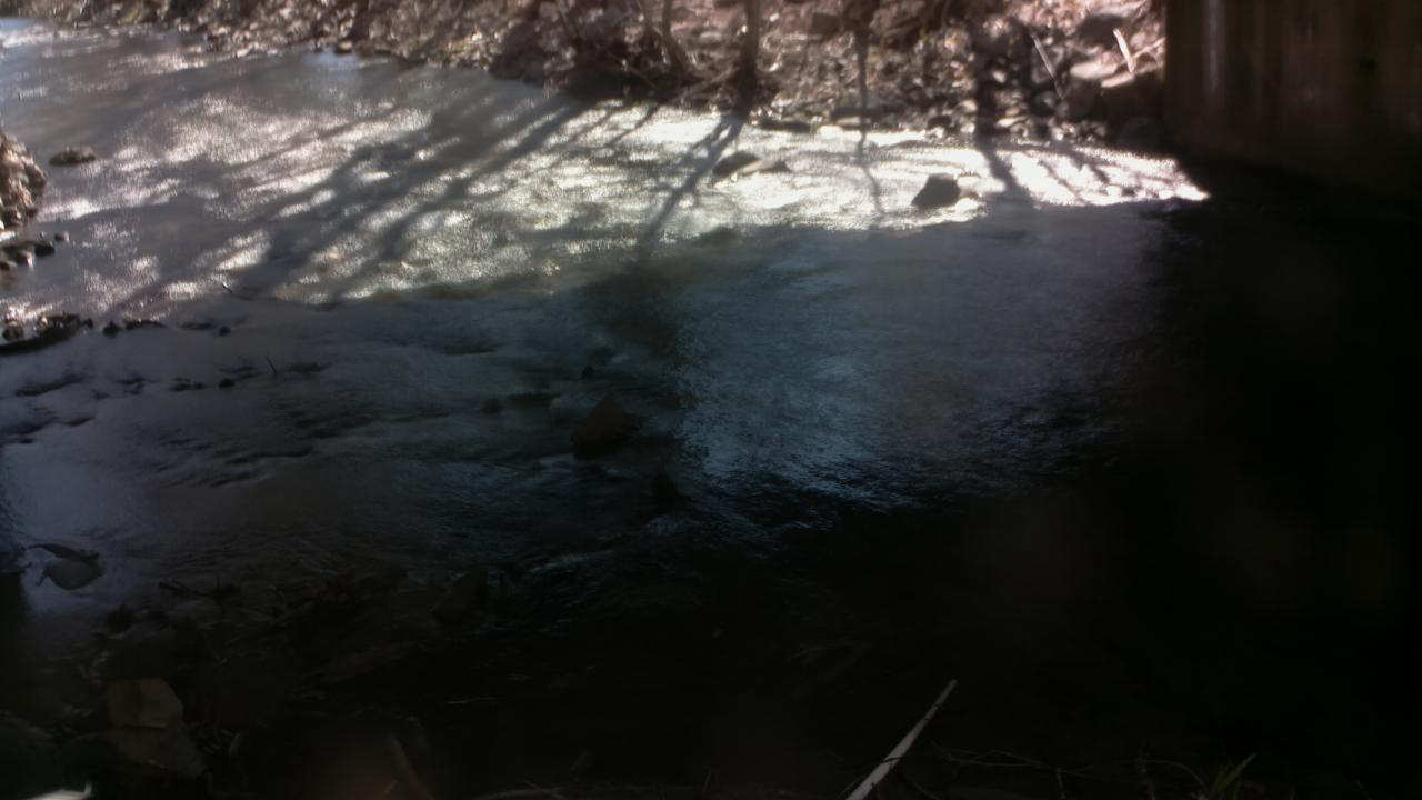
West Brook near Whately, Massachusetts (01171100)
West Brook near Whately, Massachusetts. Monitoring location 01171100 is associated with a stream in Franklin County, Massachusetts. Current conditions of discharge and gage height are available. Water data back to 2019 are available online.
West Brook near Whately, Massachusetts. Monitoring location 01171100 is associated with a stream in Franklin County, Massachusetts. Current conditions of discharge and gage height are available. Water data back to 2019 are available online.
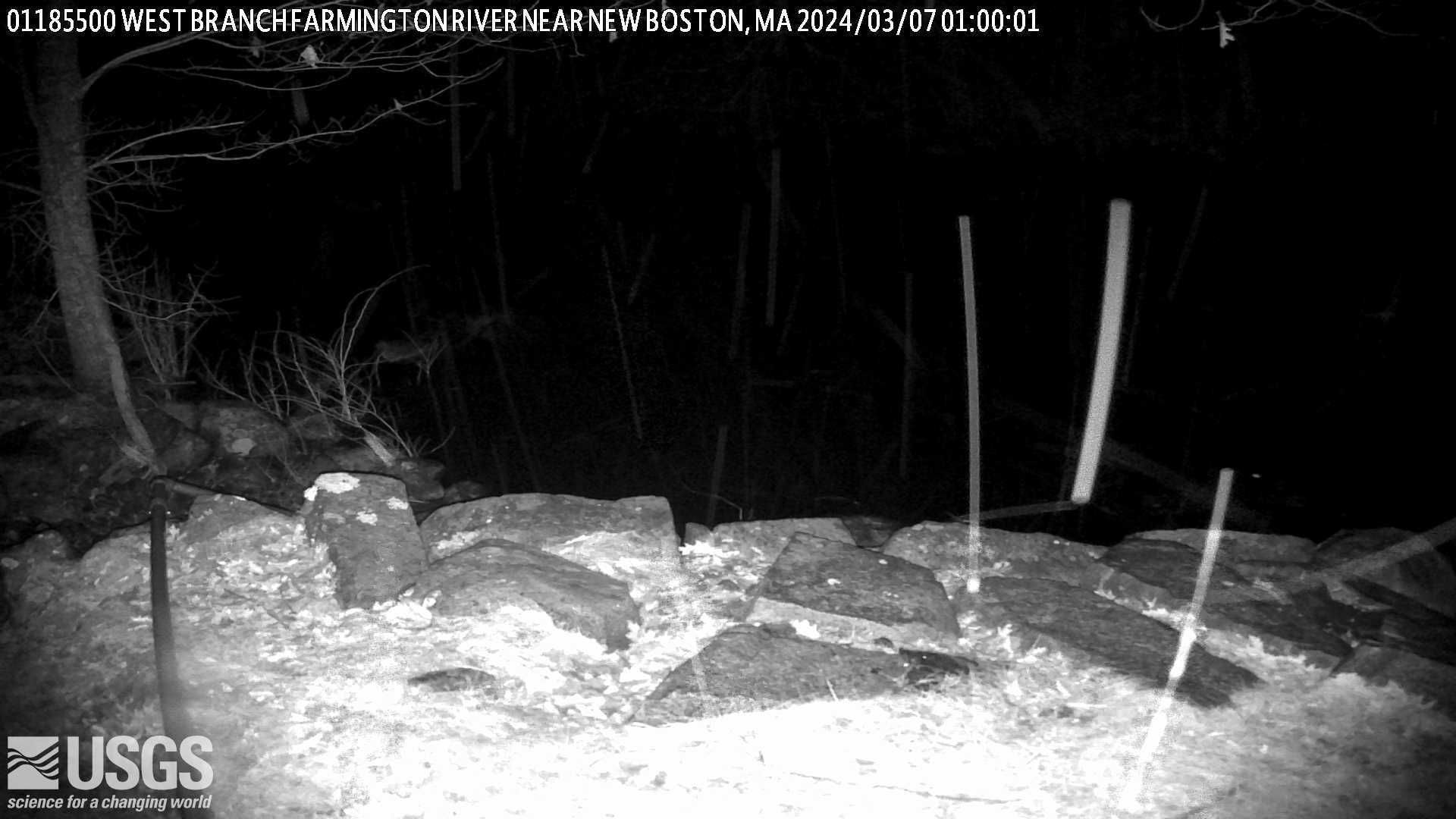
West Branch Farmington River near New Boston, Massachusetts (01185500)
West Branch Farmington River near New Boston, Massachusetts. Monitoring location 01185500 is associated with a stream in Berkshire County, Massachusetts. Current conditions of discharge and gage height are available.
West Branch Farmington River near New Boston, Massachusetts. Monitoring location 01185500 is associated with a stream in Berkshire County, Massachusetts. Current conditions of discharge and gage height are available.
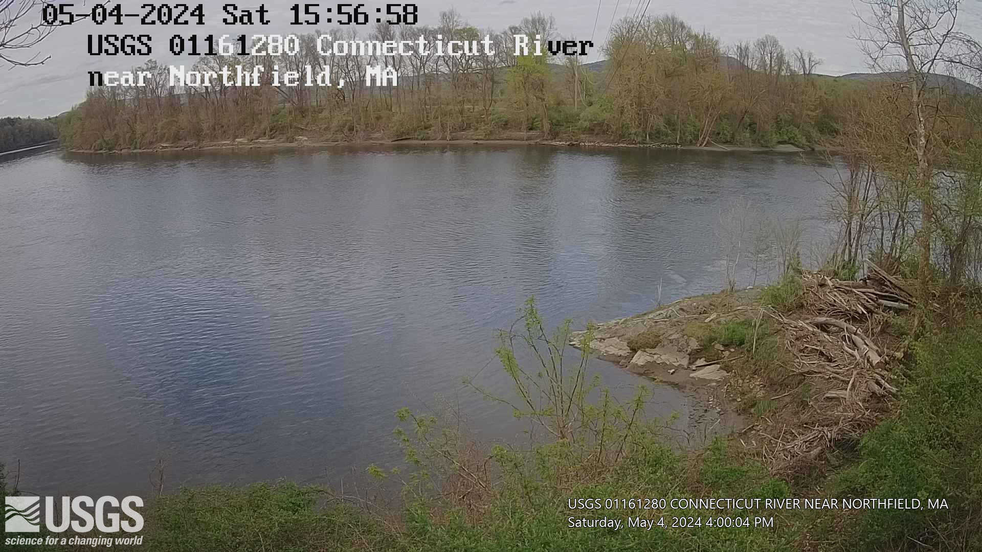
Connecticut River near Northfield, Massachusetts (01161280)
Connecticut River near Northfield, Massachusetts. Monitoring location 01161280 is associated with a stream in Franklin County, Massachusetts. Current conditions of gage height, mean water velocity for discharge computation, and nitrate plus nitrite are available.
Connecticut River near Northfield, Massachusetts. Monitoring location 01161280 is associated with a stream in Franklin County, Massachusetts. Current conditions of gage height, mean water velocity for discharge computation, and nitrate plus nitrite are available.
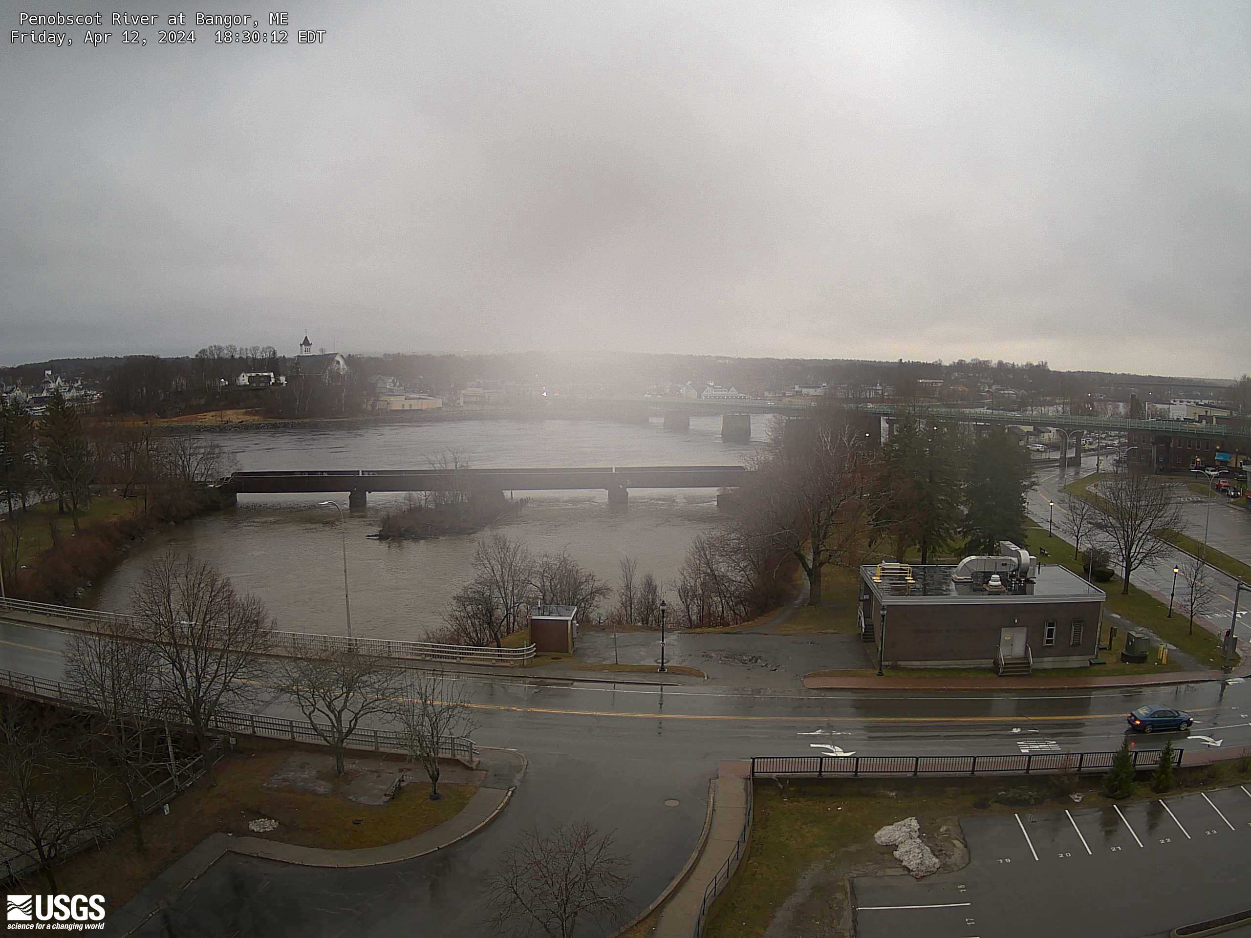
Penobscot River at Bangor, Maine (01037050)
An overhead view from a USGS webcam of Penobscot River at Bangor, Maine (01037050)
An overhead view from a USGS webcam of Penobscot River at Bangor, Maine (01037050)
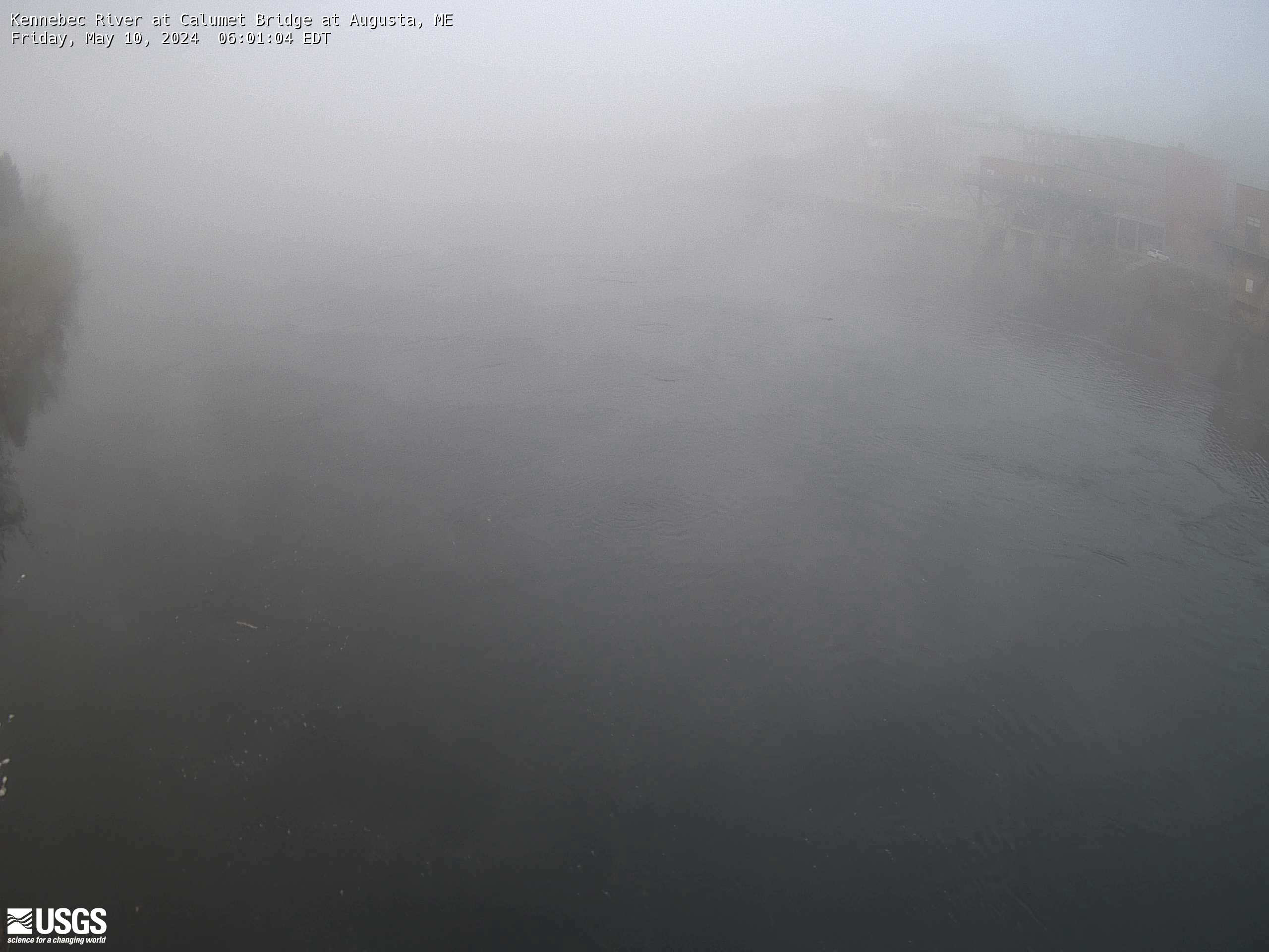
Kennebec River at Calumet Bridge at Augusta, Maine (01049320)
Kennebec River at Calumet Bridge at Augusta, Maine (01049320)
Station operated in cooperation with the Maine Emergency Management Agency and the Maine River Flow Advisory Commission.
Kennebec River at Calumet Bridge at Augusta, Maine (01049320)
Station operated in cooperation with the Maine Emergency Management Agency and the Maine River Flow Advisory Commission.