
Aligning Salt Marsh Science with Management Needs
User stories show the power of participatory science
USGS marsh vulnerability work and related geospatial products are a testament to the power of participatory science. As our collaborative network expands, so does the utility of this work. Federal, state, and NGO scientists along the Atlantic coast and beyond are finding great use in the geospatial products they helped co-produce.
Science is most impactful when end users are actively involved throughout the research process. This is referred to as participatory science. Though there is no single formula for success across different research efforts, at least some level of participatory science helps ensure the research, data, and/or tools being produced actually reach applicable audiences and address real concerns and needs.
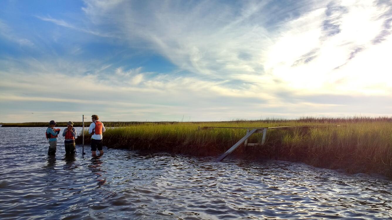
USGS Research Oceanographer Dr. Neil Ganju and his Estuarine Processes, Hazards, and Ecosystems project team, including Dr. Zafer Defne, Kate Ackerman, and Brady Couvillion, excel in creating partnerships and collaborative working groups with Federal and state government, as well as non-governmental organizations.
Participatory science enables the team to develop geospatial products that directly address specific marsh management questions.

The Unvegetated-Vegetated Marsh Ratio
Most of the geospatial products use the unvegetated-vegetated marsh ratio (UVVR), a metric that evaluates the ratio of unvegetated area to vegetated area across an entire marsh system, covering marsh plains, channels, ponds, and intertidal flats. Larger values of UVVR indicate more open water and less vegetative cover, which leads to more vulnerability to ongoing marsh loss.

Coastal wetlands nationwide are mapped using Landsat 8 satellite imagery at a 30-meter resolution. Specific wetland sites are mapped at a 1-meter resolution by dividing a coastal wetland complex into smaller units, referred to as marsh units. This level of granularity reveals spatial variation within the wetland complex and facilitates prioritizing restoration. The National UVVR data and the marsh units for chosen synthesis sites in the Chesapeake Bay, Connecticut, Maine, Maryland, Massachusetts, New York, New Jersey, and Virginia can all be explored in the U.S. Coastal Wetlands Synthesis Applications geonarrative.
User Stories
As the ancient proverb says, “If you want to go fast, go alone. If you want to go far, go together.”
And because of these collaborative relationships, USGS marsh vulnerability science is going far, being applied to meet specific needs, and making a tangible impact on decision making and on-the-ground management.
U.S. Fish and Wildlife Service – Southeast Region

The partnership between USGS and the U.S. Fish and Wildlife Service began around 2020 after the USFWS listened to presentations given on UVVR. Dr. Michelle Moorman, a USFWS ecologist, was eager to learn how well surface elevation table data, an in situ-marsh monitoring technique correlated with the UVVR. Additionally, there was interest from the NWRs in the southeast to find a remote-sensing tool that could be used to assess marshes on NWRs, particularly in areas where no other information was available. A collaborative partnership began to apply UVVR to National Wildlife Refuges in the southeast region.
The USGS and USFWS combined UVVR datasets with National Wildlife Refuge boundaries and surface elevation data to co-produce an interactive map of select southeast National Wildlife Refuges. USFWS managers and staff from target refuges were asked to provide feedback throughout the development process on utility and usability of the viewer, accuracy of the map data compared to field observations, and how this information could be utilized to support refuge management planning.
"Collaboration across the Service has helped us create tools that meet a broad set of needs and provides a clear understanding of the data,” said Michelle Moorman, ecologist with the U.S. Fish and Wildlife Service’s Southeast Region. “The feedback has been very positive. Using staff input, we've created custom story maps, like the one for Waccamaw National Wildlife Refuge, that showcase how valuable this information is for each location."
By working together, they were able to create a valuable tool that capitalized on UVVR and SET data and provided information USFWS needed to track marsh restoration gains and support land management decisions.
The interactive viewer aids in identifying places of stability and instability with targeted wetlands and quantifies vulnerability. Identifying presently vulnerable and stable wetlands relative to sea-level rise helps managers identify where to implement resist, accept, or direct (RAD) climate adaptation strategies on the landscape and can increase the area of vegetated wetland on National Wildlife Refuges.
You can learn more about this project and explore the interactive data map by accessing the Southeast Refuges tab of the U.S. Coastal Wetlands Synthesis Applications geonarrative.

Wells National Estuarine Research Reserve
Dr. Chris Feurt, the Coastal Training Program Director at the Wells National Estuarine Research Reserve (NERR) in Maine, initiated the collaboration with USGS. Her goal is to provide coastal resource and infrastructure managers with relevant science to build marsh resilience.
The collaboration between USGS and the Wells NERR acts as a catalyst for continued restoration research by introducing Federal, state, and non-governmental agencies to USGS geospatial products related to marsh health.
In February 2024, Drs. Feurt and Ganju hosted a workshop at the Wells NERR called Marsh’s for Maine’s Future. They demonstrated how marsh units, UVVR, and the geospatial layers created for Maine could be used to support state-wide conservation and management decisions. Participants even used USGS data on the fly to assess restoration potential of their specific sites.
The success of the workshop is only the start of a stronger collaboration between USGS and the Wells NERR. Dr. Feurt continues to use USGS geospatial data for state-wide restoration planning and is writing a proposal to galvanize other NERRs to do the same.
In addition to the USFWS in the southeast region and the Wells NERR, Dr. Ganju has collaborative relationships with the U.S. Army Corps of Engineers in Baltimore, Maryland Department of Natural Resources, Atlantic Coast Joint Venture, The Nature Conservancy in Texas, Chesapeake Bay Program, Audubon, and National Park Service.
Collaboration with each of these organizations is mutually beneficial. They help inform our science process and the organizations get products that meet their needs. We gain champions for USGS and produce actionable information for those who need to assess wetland health, identify restoration opportunities, and make other management decisions.
Related Content

Estuarine Processes, Hazards, and Ecosystems-Study Sites

Estuarine Processes, Hazards, and Ecosystems
Related Content
Estuarine Processes, Hazards, and Ecosystems-Study Sites
Estuarine Processes, Hazards, and Ecosystems
Get Our News
These items are in the RSS feed format (Really Simple Syndication) based on categories such as topics, locations, and more. You can install and RSS reader browser extension, software, or use a third-party service to receive immediate news updates depending on the feed that you have added. If you click the feed links below, they may look strange because they are simply XML code. An RSS reader can easily read this code and push out a notification to you when something new is posted to our site.