
MF Bradley River below NF Bradley River near Homer, AK Monitoring location 15239060 is associated with a STREAM in KENAI PENINSULA BOROUGH, ALASKA. Current conditions of DISCHARGE, GAGE HEIGHT, and TEMPERATURE are available. Water data back to 1991 are available online.
Webcams
Total: 0
Settings
Total: 0
The USGS maintains a variety of webcams across the U.S. These webcams provide valuable research information and data to the USGS scientists, the National Weather Service, emergency managers, and area residents to evaluate near, real-time conditions during natural hazard events (most webcams refresh every 5 - 20 minutes).
Filter Total Items: 192
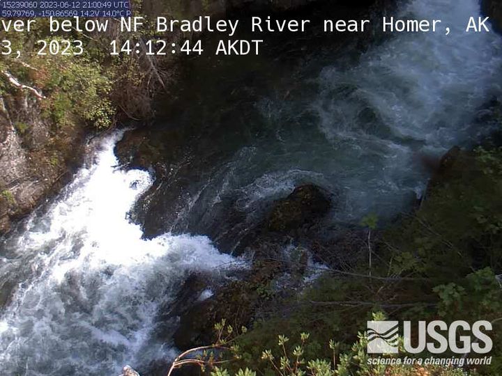
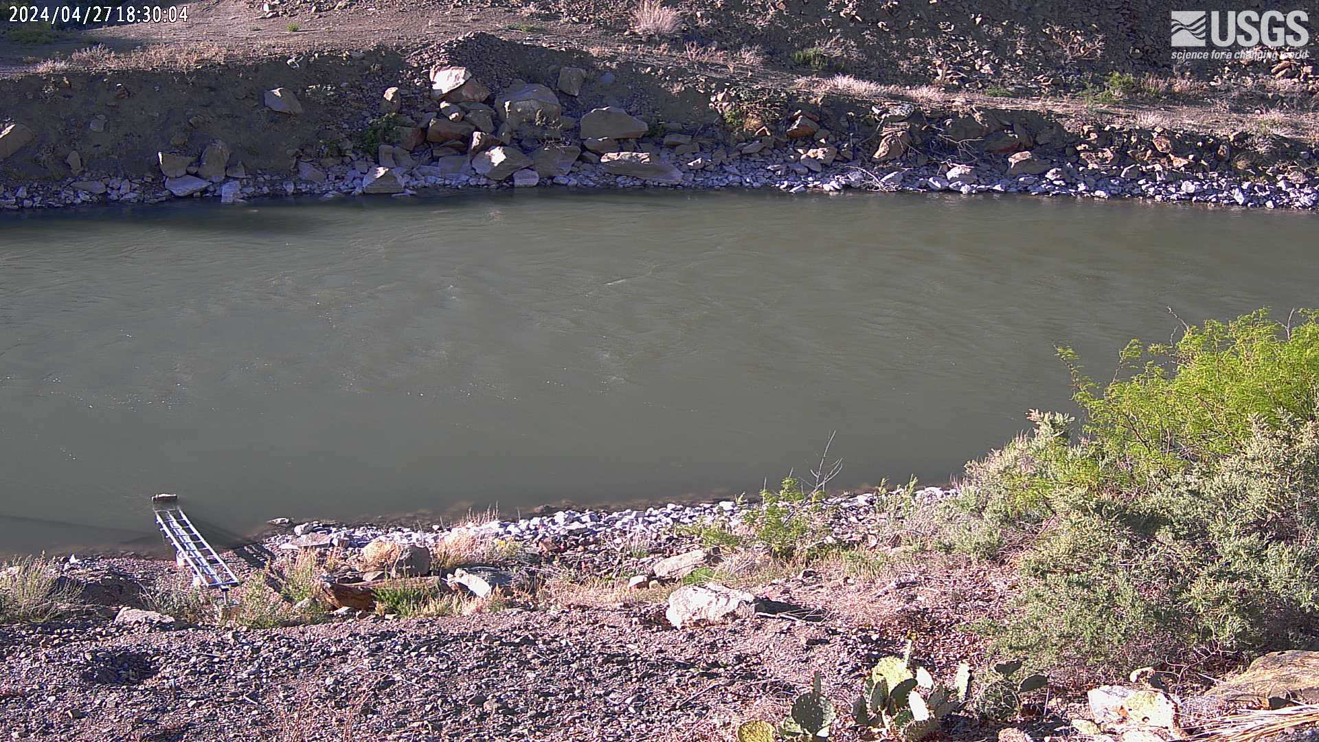
MF Bradley River below NF Bradley River near Homer
MF Bradley River below NF Bradley River near Homer, AK Monitoring location 15239060 is associated with a STREAM in KENAI PENINSULA BOROUGH, ALASKA. Current conditions of DISCHARGE, GAGE HEIGHT, and TEMPERATURE are available. Water data back to 1991 are available online.
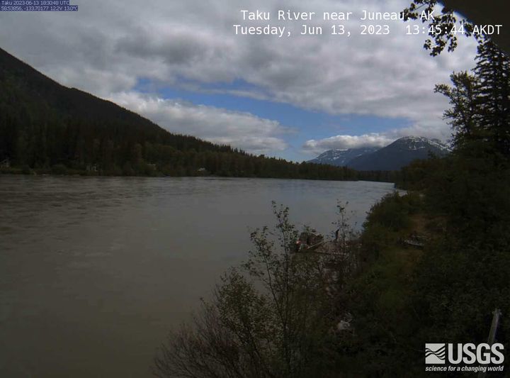
Taku River near Juneau
Taku River near Juneau, AK Monitoring location 15041200 is associated with a STREAM in CITY AND BOROUGH OF JUNEAU, ALASKA. Current conditions of DCP BATTERY VOLTAGE, DISCHARGE, DISSOLVED OXYGEN, and MORE are available. Water data back to 1987 are available online.
Taku River near Juneau, AK Monitoring location 15041200 is associated with a STREAM in CITY AND BOROUGH OF JUNEAU, ALASKA. Current conditions of DCP BATTERY VOLTAGE, DISCHARGE, DISSOLVED OXYGEN, and MORE are available. Water data back to 1987 are available online.
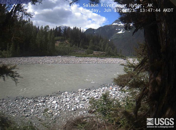
Salmon River near Hyder
Salmon River near Hyder, AK Monitoring location 15008000 is associated with a STREAM in PRINCE OF WALES-HYDER CENSUS AREA, ALASKA. Current conditions of DISCHARGE, DISSOLVED OXYGEN, GAGE HEIGHT, and MORE are available. Water data back to 1963 are available online.
Salmon River near Hyder, AK Monitoring location 15008000 is associated with a STREAM in PRINCE OF WALES-HYDER CENSUS AREA, ALASKA. Current conditions of DISCHARGE, DISSOLVED OXYGEN, GAGE HEIGHT, and MORE are available. Water data back to 1963 are available online.
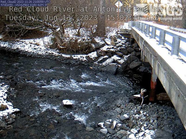
Red Cloud River at Anton Larsen Bay near Kodiak
Red Cloud River at Anton Larsen Bay near Kodiak, AK Monitoring location 15297476 is associated with a STREAM in KODIAK ISLAND BOROUGH, ALASKA. Current conditions of GAGE HEIGHT and STREAMBED ELEVATION AT MEASUREMENT POINT are available. Water data back to 2022 are available online.
Red Cloud River at Anton Larsen Bay near Kodiak, AK Monitoring location 15297476 is associated with a STREAM in KODIAK ISLAND BOROUGH, ALASKA. Current conditions of GAGE HEIGHT and STREAMBED ELEVATION AT MEASUREMENT POINT are available. Water data back to 2022 are available online.
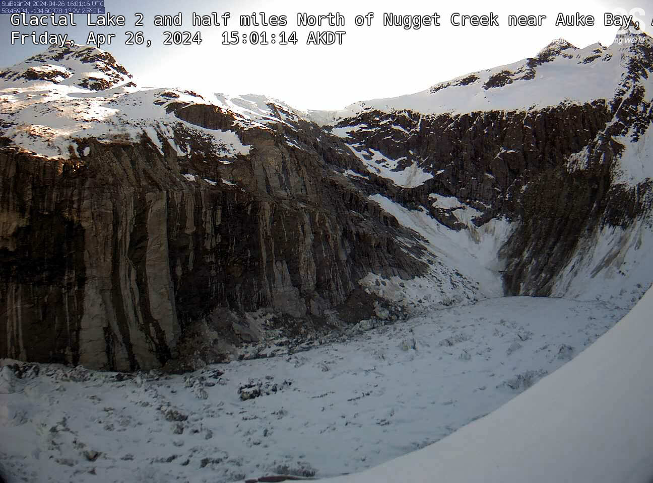
Glacial Lake 2 and half miles
An overlook view of Glacial Lake 2.5 miles North of Nugget Creek near Auke Bay, Alaska.
An overlook view of Glacial Lake 2.5 miles North of Nugget Creek near Auke Bay, Alaska.
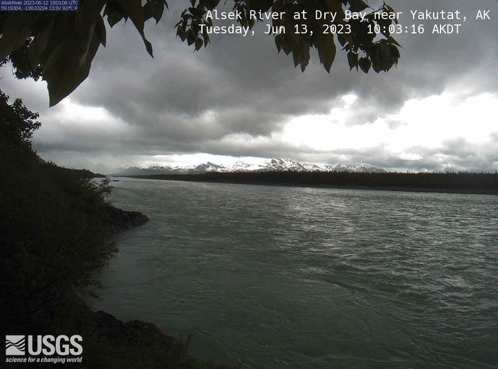
Alsek River at Dry Bay near Yakutat
Alsek River at Dry Bay near Yakutat, AK Monitoring location 15129120 is associated with a STREAM in CITY AND BOROUGH OF YAKUTAT, ALASKA. Current conditions of DISCHARGE, DISSOLVED OXYGEN, GAGE HEIGHT, and MORE are available. Water data back to 2011 are available online.
Alsek River at Dry Bay near Yakutat, AK Monitoring location 15129120 is associated with a STREAM in CITY AND BOROUGH OF YAKUTAT, ALASKA. Current conditions of DISCHARGE, DISSOLVED OXYGEN, GAGE HEIGHT, and MORE are available. Water data back to 2011 are available online.
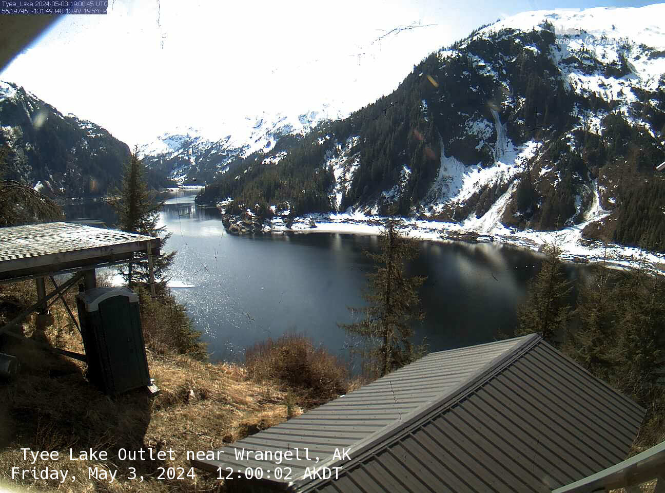
Tyee Lake Outlet near Wrangell
Tyee Lake Outlet near Wrangell, AK Monitoring location 15019990 is associated with a STREAM in CITY AND BOROUGH OF WRANGELL, ALASKA. Current conditions of DCP BATTERY VOLTAGE and GAGE HEIGHT are available. Water data back to 1979 are available online. This camera is telemetered by satellite and updates at approximately 19:00 UTC (+/- 60 minutes) each day.
Tyee Lake Outlet near Wrangell, AK Monitoring location 15019990 is associated with a STREAM in CITY AND BOROUGH OF WRANGELL, ALASKA. Current conditions of DCP BATTERY VOLTAGE and GAGE HEIGHT are available. Water data back to 1979 are available online. This camera is telemetered by satellite and updates at approximately 19:00 UTC (+/- 60 minutes) each day.
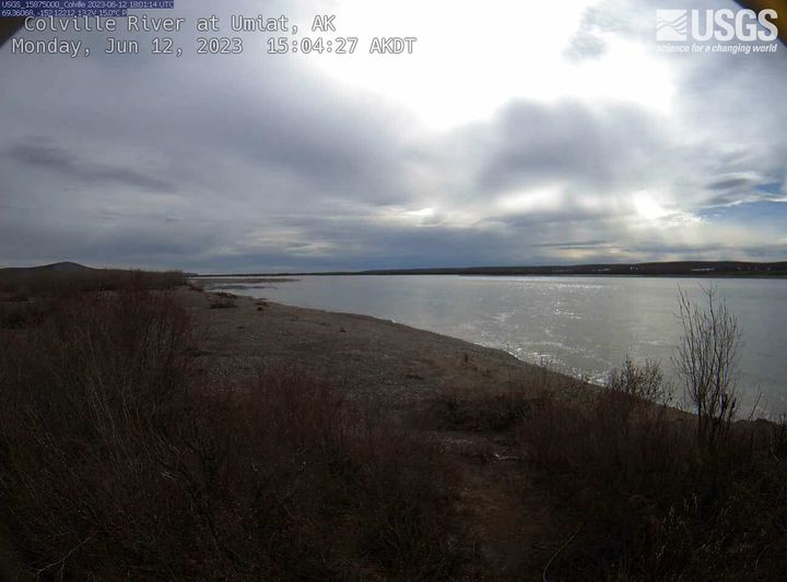
Colville River at Umiat
Colville River at Umiat, AK Monitoring location 15875000 is associated with a STREAM in NORTH SLOPE BOROUGH, ALASKA. Current conditions of DISCHARGE, GAGE HEIGHT, PRECIPITATION, and MORE are available. Water data back to 1953 are available online. This camera is telemetered by satellite and updates at approximately 22:00 UTC (+/- 60 minutes) each day.
Colville River at Umiat, AK Monitoring location 15875000 is associated with a STREAM in NORTH SLOPE BOROUGH, ALASKA. Current conditions of DISCHARGE, GAGE HEIGHT, PRECIPITATION, and MORE are available. Water data back to 1953 are available online. This camera is telemetered by satellite and updates at approximately 22:00 UTC (+/- 60 minutes) each day.
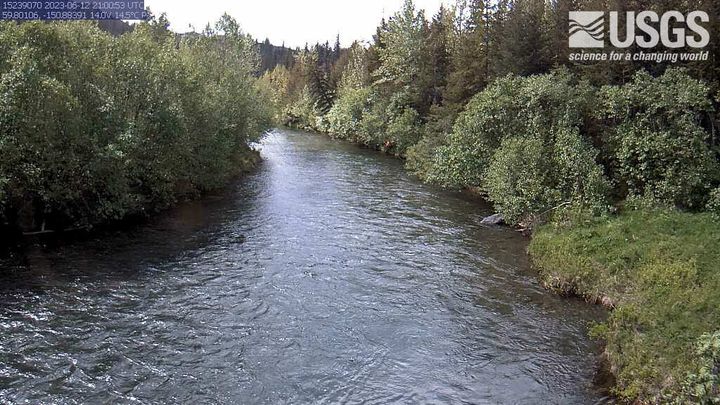
Bradly River near Tidewater near Homer
Bradly River near Tidewater near Homer, AK Monitoring location 15239070 is associated with a STREAM in KENAI PENINSULA BOROUGH, ALASKA. Current conditions of DISCHARGE, GAGE HEIGHT, and TEMPERATURE are available. Water data back to 1983 are available online. This camera is telemetered by satellite and updates at approximately 21:00 UTC (+/- 60 minutes) each day.
Bradly River near Tidewater near Homer, AK Monitoring location 15239070 is associated with a STREAM in KENAI PENINSULA BOROUGH, ALASKA. Current conditions of DISCHARGE, GAGE HEIGHT, and TEMPERATURE are available. Water data back to 1983 are available online. This camera is telemetered by satellite and updates at approximately 21:00 UTC (+/- 60 minutes) each day.
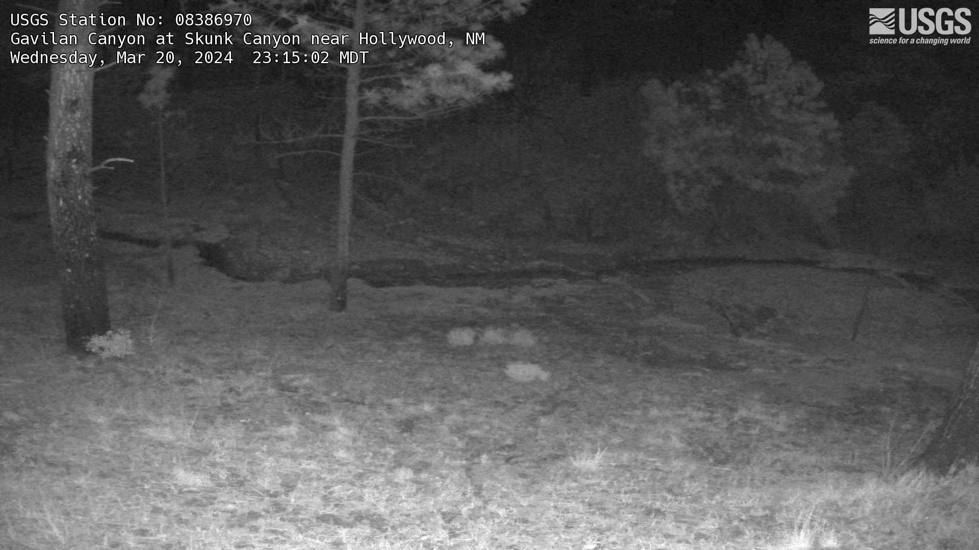
Gavilan Canyon at Skunk Canyon, NM
This is the most recent webcam image of Gavilan Canyon at Skunk Canyon near Hollywood, NM
This is the most recent webcam image of Gavilan Canyon at Skunk Canyon near Hollywood, NM
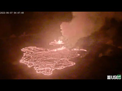
Kīlauea Volcano Live Stream - Halemaʻumaʻu crater
Live view of the eruption in Halemaʻumaʻu, from the northwest rim of the caldera, looking east [V1cam] on the USGS YouTube Channel.
- USGS Kīlauea Volcano
- USGS Hawaiian Volcano Observatory
- Kilauea webcams
Live view of the eruption in Halemaʻumaʻu, from the northwest rim of the caldera, looking east [V1cam] on the USGS YouTube Channel.
- USGS Kīlauea Volcano
- USGS Hawaiian Volcano Observatory
- Kilauea webcams
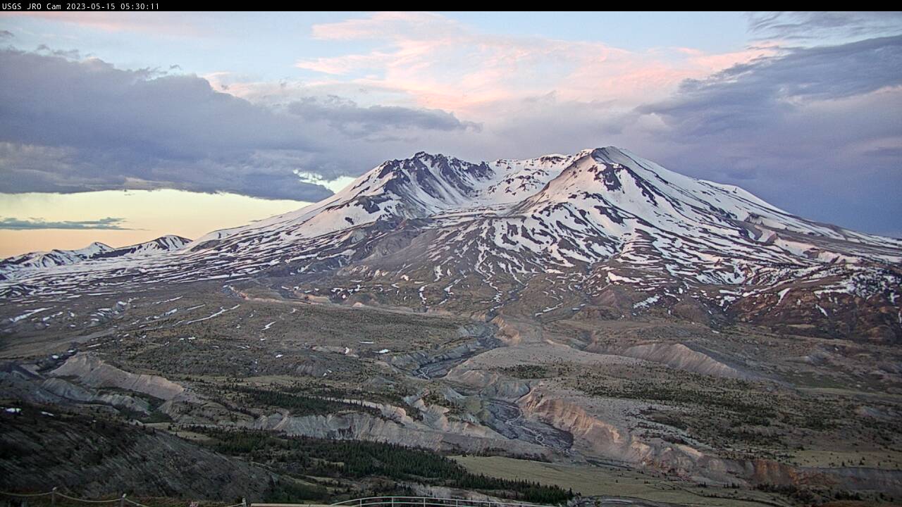
Johnston Ridge Observatory, Mount St. Helens
A debris flow in Mount St.
Rio Grande River Below Elephant Butte Dam, NM
This is a webcam image of the Rio Grande near Elephant Butte Dam, NM - site #08361000
This is a webcam image of the Rio Grande near Elephant Butte Dam, NM - site #08361000

[HLcam] Live Image of Mauna Loa's northwest flank from Hualālai volcano
Live view of the northwest flank of Mauna Loa; the view is from the southeast flank of Hualālai [HLcam]. This camera is a pan-tilt-zoom model and the view may change depending on activity.
Live view of the northwest flank of Mauna Loa; the view is from the southeast flank of Hualālai [HLcam]. This camera is a pan-tilt-zoom model and the view may change depending on activity.
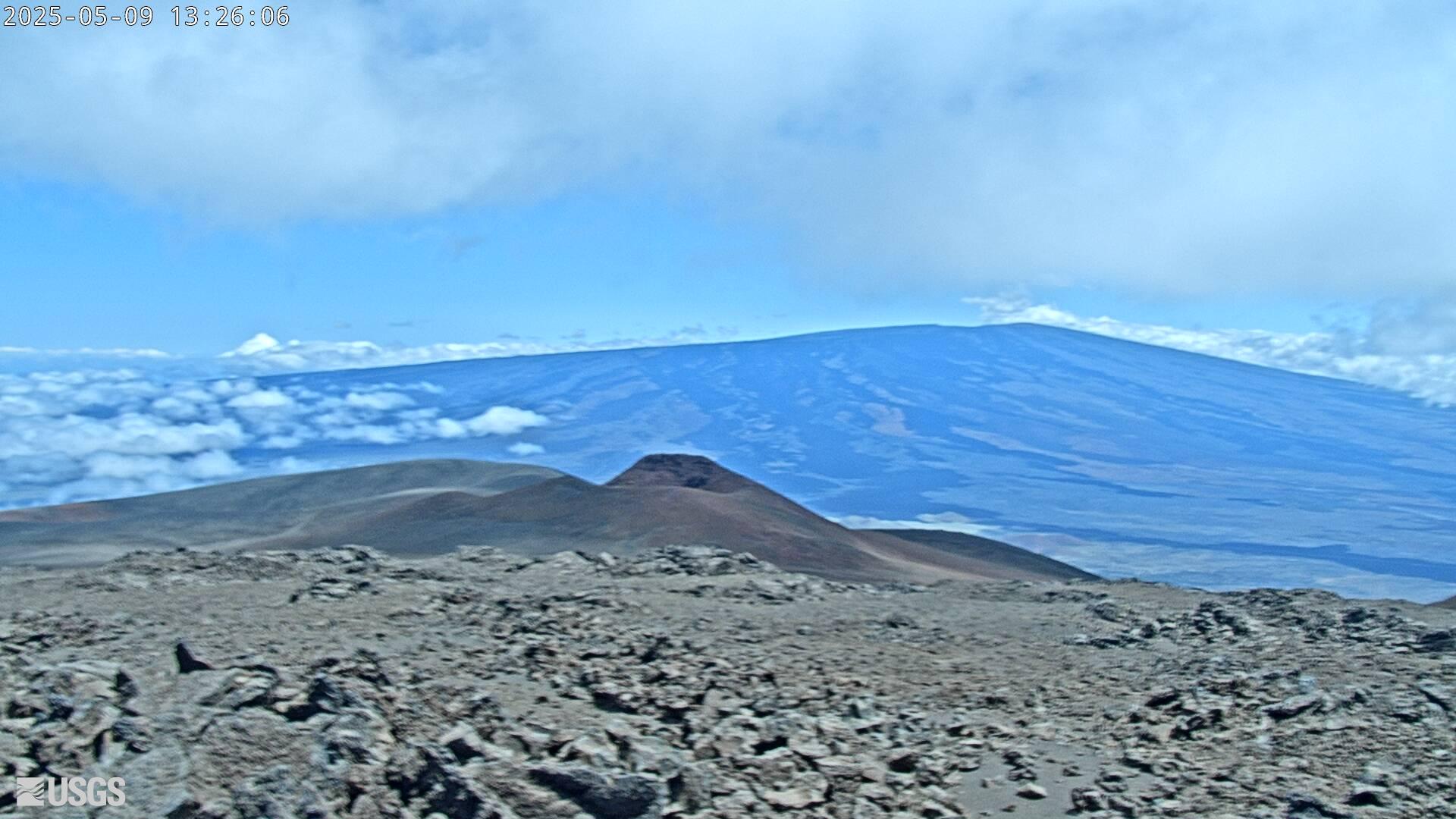
[MK2cam] Mauna Loa's Summit and Northeast Rift Zone from Mauna Kea
Live Image of Mauna Loa's Summit and Northeast Rift Zone from Mauna Kea [MK2cam]. This camera is a pan-tilt-zoom model and the view may change depending on activity.
Live Image of Mauna Loa's Summit and Northeast Rift Zone from Mauna Kea [MK2cam]. This camera is a pan-tilt-zoom model and the view may change depending on activity.
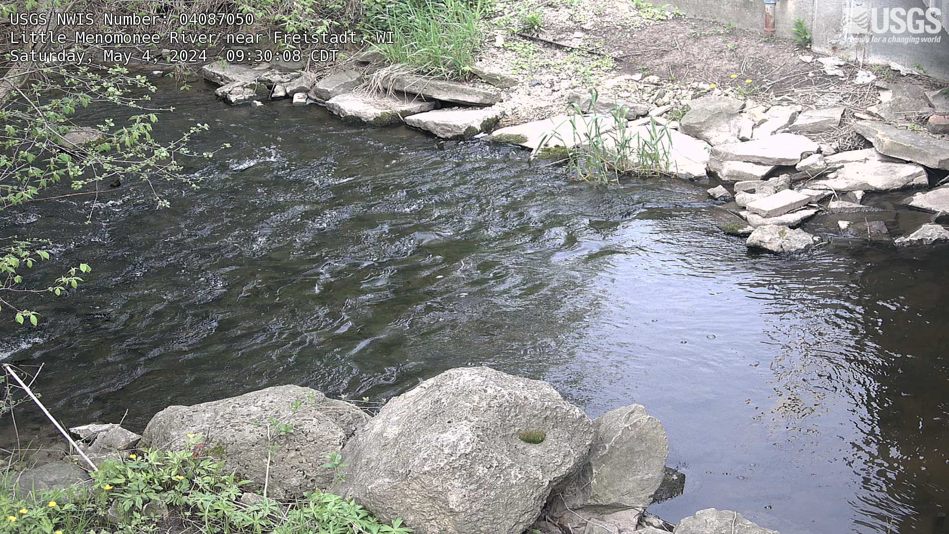
Streamgage at Little Menomonee River near Freistadt, Wisconsin
Webcam at streamgage at Little Menomonee River near Freistadt, Wisconsin. https://waterdata.usgs.gov/monitoring-location/04087050/
Webcam at streamgage at Little Menomonee River near Freistadt, Wisconsin. https://waterdata.usgs.gov/monitoring-location/04087050/
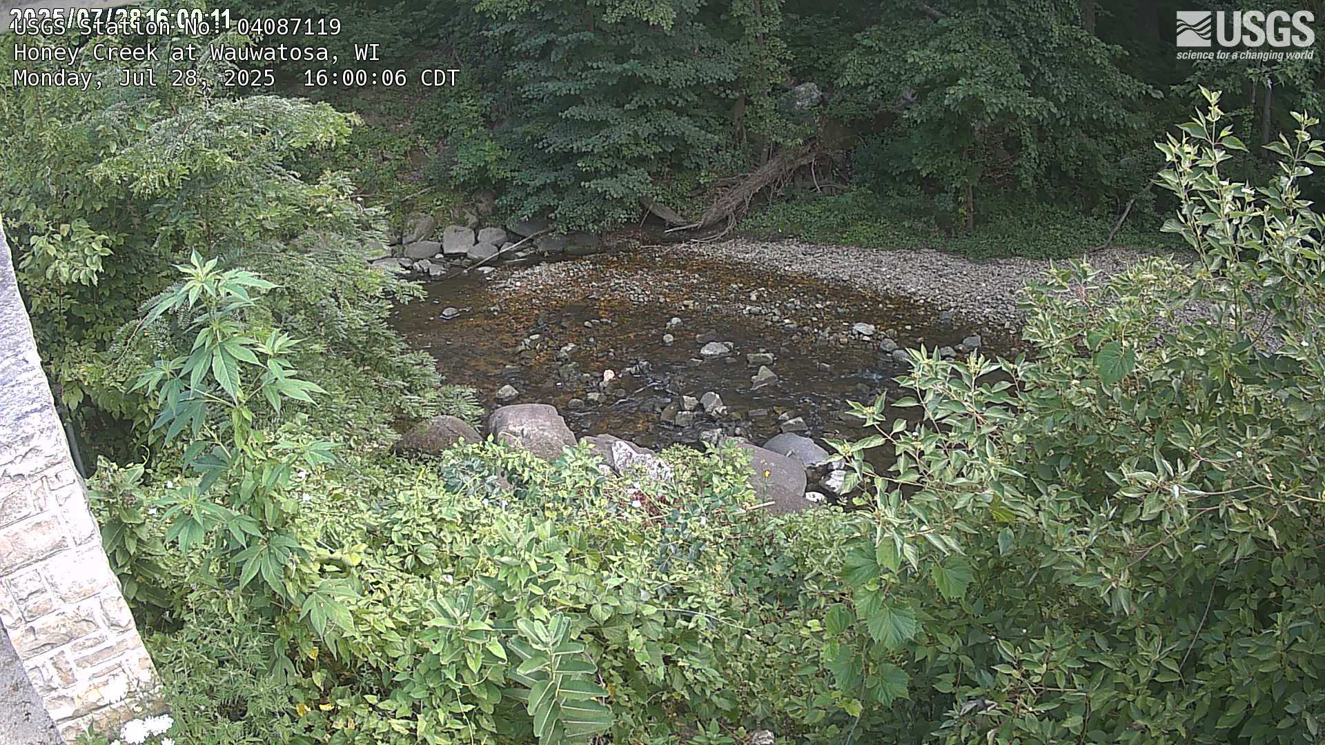
Streamgage at Honey Creek at Wauwatosa, Wisconsin
Webcam at streamgage at Honey Creek at Wauwatosa, Wisconsin. https://waterdata.usgs.gov/monitoring-location/04087119
Webcam at streamgage at Honey Creek at Wauwatosa, Wisconsin. https://waterdata.usgs.gov/monitoring-location/04087119
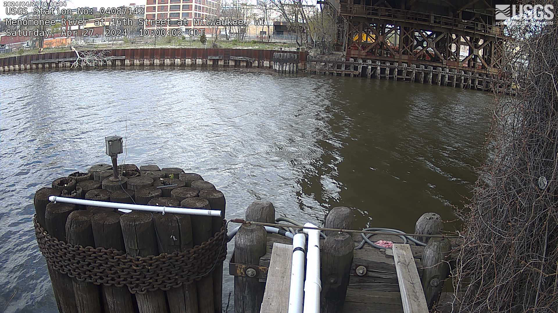
Streamgage at Menomonee River at 16th Street at Milwaukee, Wisconsin
Webcam at streamgage at Menomonee River at 16th Street at Milwaukee, Wisconsin. https://waterdata.usgs.gov/monitoring-location/04087142
Webcam at streamgage at Menomonee River at 16th Street at Milwaukee, Wisconsin. https://waterdata.usgs.gov/monitoring-location/04087142
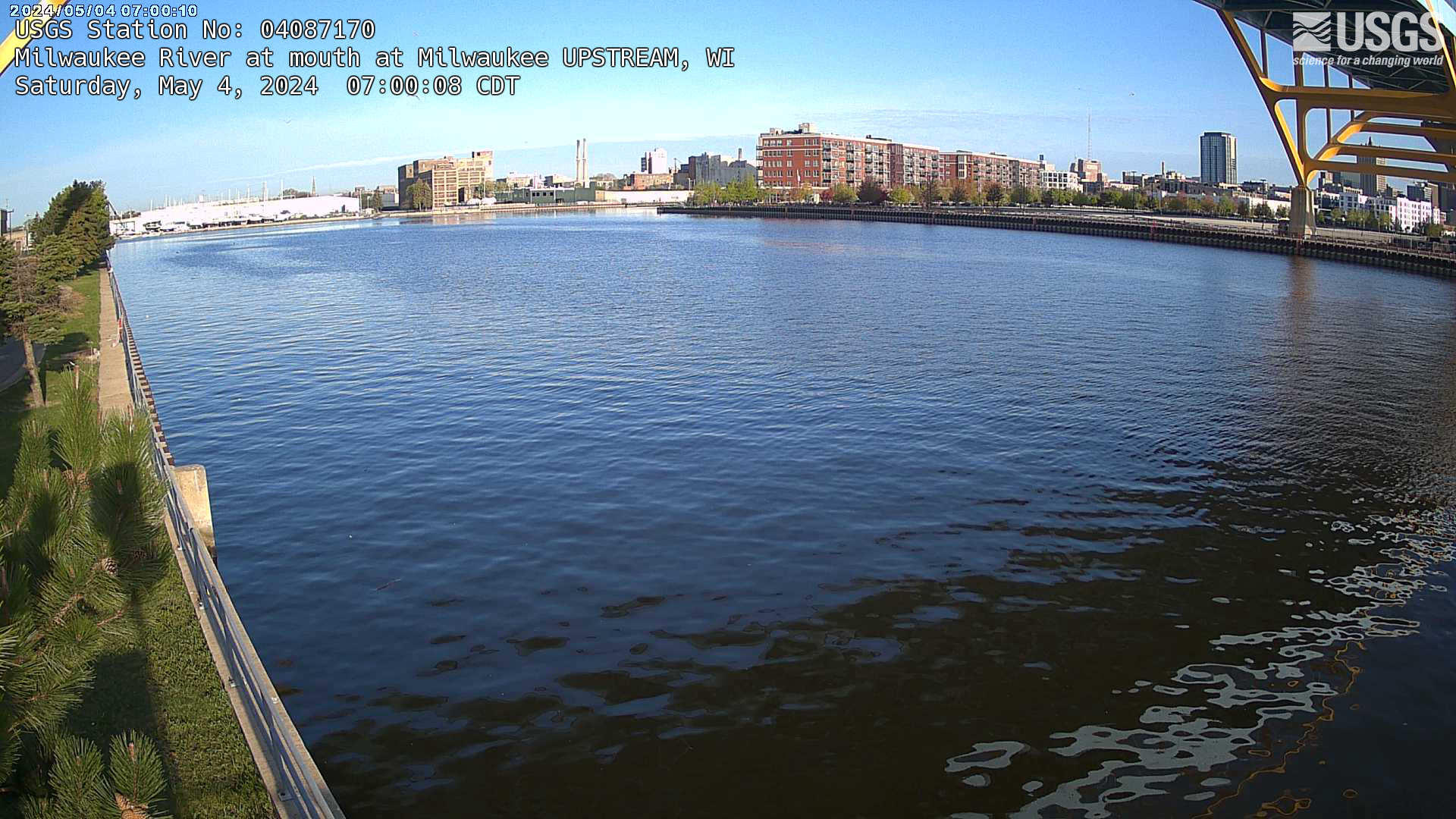
Streamgage at mouth of Milwaukee River (upstream) at Milwaukee, Wisconsin
Webcam at streamgage at mouth of Milwaukee River (upstream) at Milwaukee, Wisconsin. https://waterdata.usgs.gov/monitoring-location/04087170/
Webcam at streamgage at mouth of Milwaukee River (upstream) at Milwaukee, Wisconsin. https://waterdata.usgs.gov/monitoring-location/04087170/
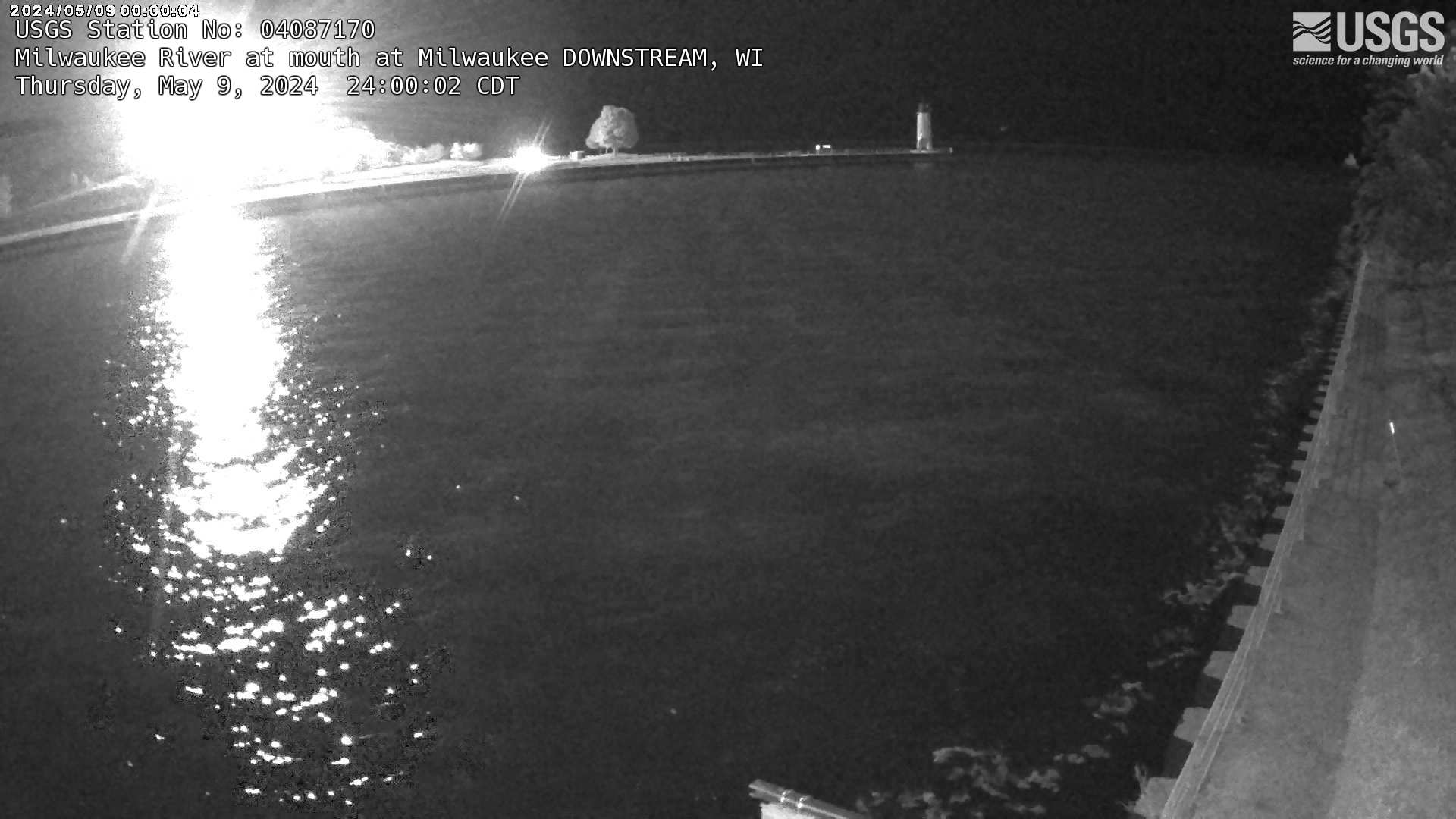
Streamgage at mouth of Milwaukee River (downstream) at Milwaukee, Wisconsin
Webcam at streamgage at mouth of Milwaukee River (downstream) at Milwaukee, Wisconsin. https://waterdata.usgs.gov/monitoring-location/04087170/
Webcam at streamgage at mouth of Milwaukee River (downstream) at Milwaukee, Wisconsin. https://waterdata.usgs.gov/monitoring-location/04087170/
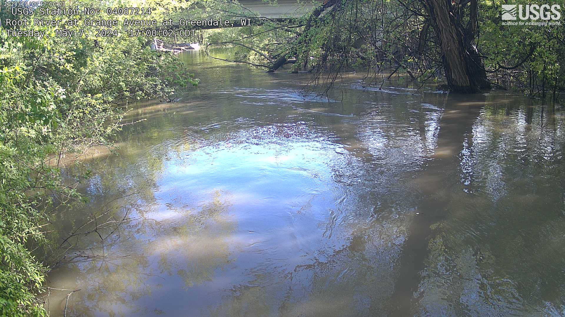
Streamgage at Root River at Grange at Greenfield, Wisconsin (04087214)
Webcam at streamgage at Root River at Grange at Greenfield, Wisconsin. https://waterdata.usgs.gov/monitoring-location/04087214
Webcam at streamgage at Root River at Grange at Greenfield, Wisconsin. https://waterdata.usgs.gov/monitoring-location/04087214