Coastal Model Applications and Field Measurements- Tools and Standards for Ocean Modeling
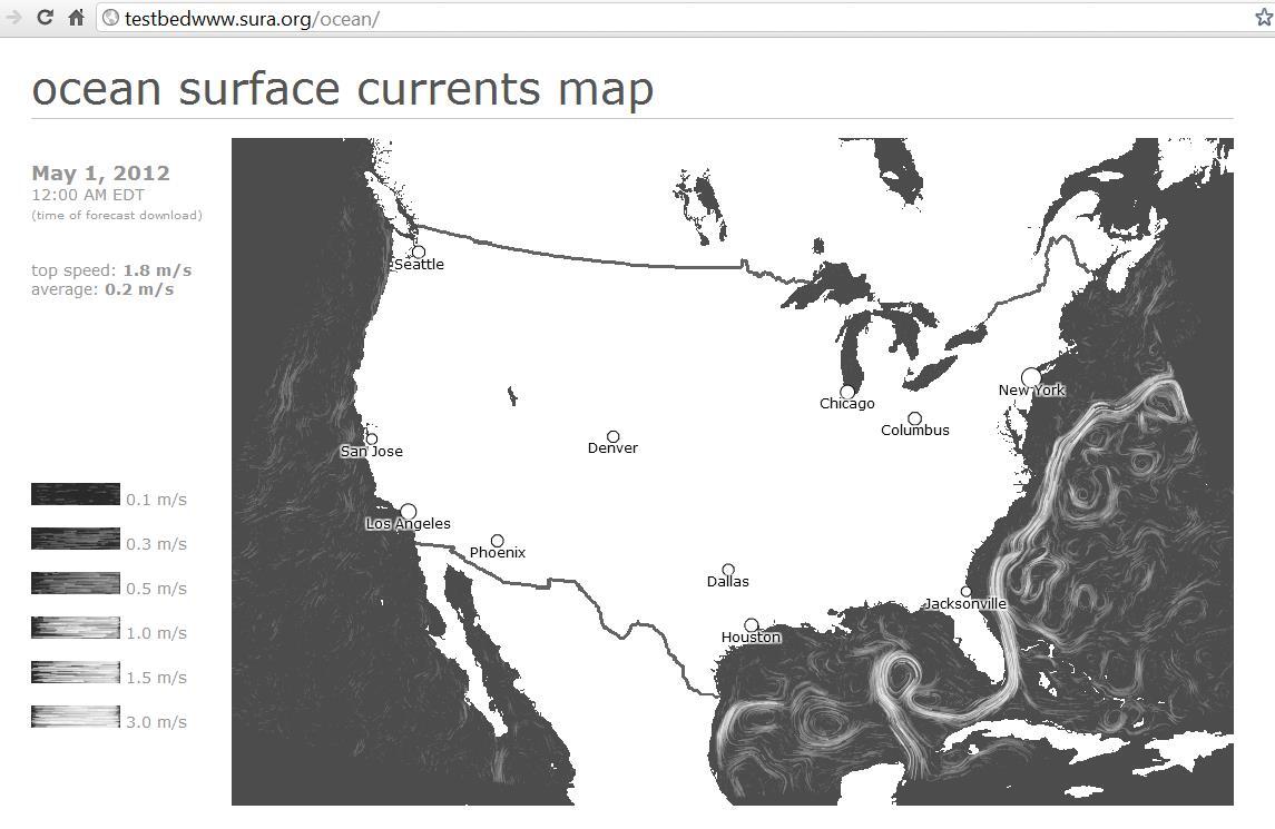
Ocean models provide critical information for coastal and marine spatial planning, emergency responders and for understanding implications of climate change and human activities. Models are run by numerous academic institutions and government agencies, typically with different access protocols that stifle use, comparison with data, and innovation.
USGS is at the forefront of community efforts to significantly reduce the time that users spend accessing model data through the development of standard web services and standards-based software tools. Advances are being made through specific efforts that demonstrate the power of the current approach as well as needs for future development. One of these efforts is the IOOS Modeling Testbed, a sustained effort to build a cyberinfrastructure framework for coastal ocean modeling within IOOS, and apply that framework to different environmental and regional issues. In 2012, work focused on building out the Cyberinfrastructure for both structured and unstructured grids. Advances were made on a Matlab toolbox and on developing a standards-based search procedure that harvests metadata from multiple distributed catalogs. A second effort is on Ocean Model Data Access for Coastal and Marine Spatial Planning (CMSP). This project is developing tools and techniques to allow ArcGIS users to remotely access ocean model data and create customized data products for use in CMSP.
The project has also supported ongoing efforts to develop standard data formats and well-documented and tested procedures for processing USGS data. These efforts have produced several Matlab toolboxes, and python programs that are used in house and available to non-USGS researchers.


