
1981 - Landsat TM Mosaic of Black Hills
By EROS History Project
1981 (approx.)
Detailed Description
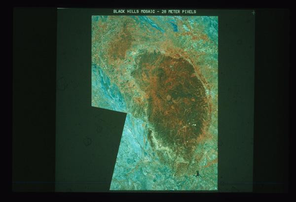
1981 - A Landsat mosaic of the Black Hills of South Dakota, showing land forms, vegetation, changes, and the effects of wind storms on the forests in the region. EROS History Project
Sources/Usage
Public Domain.