
3DHP Figure 3 3D National Topography Model visualization

Detailed Description
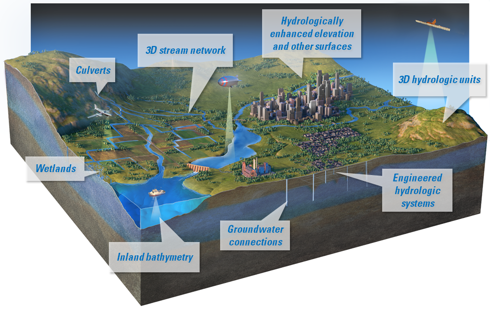
3D terrain profile visualizes the surface elevations and hydrologic features along a horizontal plane. Features called out on the graphic with white text boxes include 3D stream network, hydrologically enhanced elevation and other surfaces, 3D hydrologic units, engineered hydrologic systems, groundwater connections, inland bathymetry, wetlands, and culverts.
Sources/Usage
Permission to use by the USGS only for non-Commercial use. Other use(s) of copyrighted item(s) must be secured from the copyright owner.