
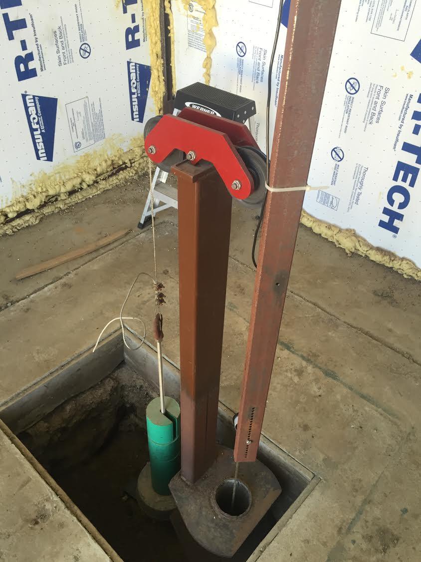
A restored extensometer
Detailed Description
Example of a San Joaquin Valley extensometer the USGS restored in 2012. An extensometer is a tool that is used to evaluate the compaction and expansion of the aquifer system. USGS Photo by David Dillon
Sources/Usage
Public Domain.