
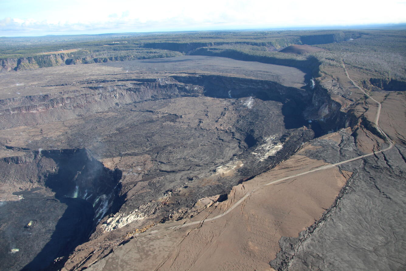
Aerial view of eastern half of Kīlauea summit caldera
Detailed Description
Aerial view looking northeast of the eastern half of the Kīlauea summit caldera, taken during a helicopter overflight of the Kīlauea summit on the morning of November 16, 2021. The current lava lake in Halema‘uma‘u is visible in bottom left, and scarps associated with 2018 Kīlauea summit collapse are prominent in the center of the photo. Crater Rim Drive (closed to vehicles, with limited public access), damaged and destroyed in places in 2018, is visible in the left and bottom portions of the photo. Part of the September 1982 lava flow is visible in lower right part of the photo, and Keanakāko‘i Crater is visible on the right side of the photo, about a third of the way from the top. Pu‘u Pua‘i is the brown hill visible in the top left part of the photo, with Kīlauea Iki Crater just barely visible behind it. USGS photo by N. Deligne.
Sources/Usage
Public Domain.