
California Seafloor Mapping Program imagery portal

Detailed Description
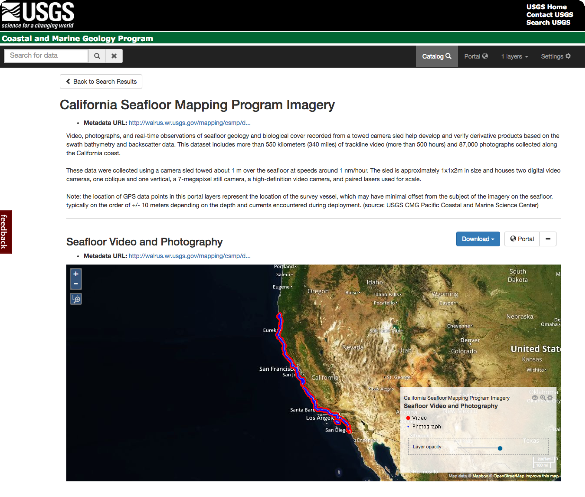
Screen capture of the California Seafloor Mapping Program Imagery home page.
Sources/Usage
Public Domain.
California Seafloor Mapping Program video and photograph portal
Golden, Nadine E., and Cochrane, Guy R., 2013, California Seafloor Mapping Program video and photograph portal. U.S. Geological Survey data set, https://doi.org/10.5066/F7J1015K