
Denali Park Road landslide scarp (from above and detail)
By Geosciences and Environmental Change Science Center
2018 (approx.)

Detailed Description
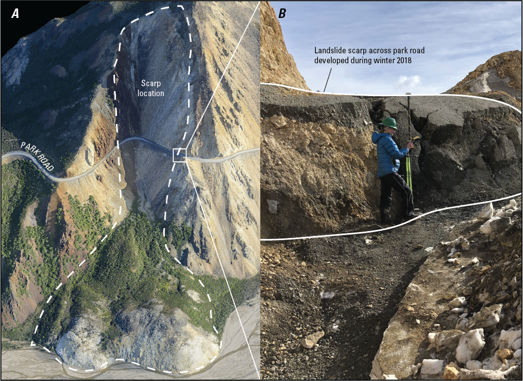
A, Pretty Rocks landslide (dashed outline) and location of scarp photograph. B, 2-meter landslide scarp (outlined in white) in Park Road caused by slump at the head of Pretty Rocks landslide (Photographs from Denny Capps, National Park Service).
Sources/Usage
Public Domain.
Assessing Geohazards to the Denali National Park Road with Geologic Mapping
From USGS Fact Sheet 2020-3016. Originally found at Nat. Park Servive website, with credit to "NPS":
https://www.nps.gov/dena/learn/nature/pretty-rocks.htm