
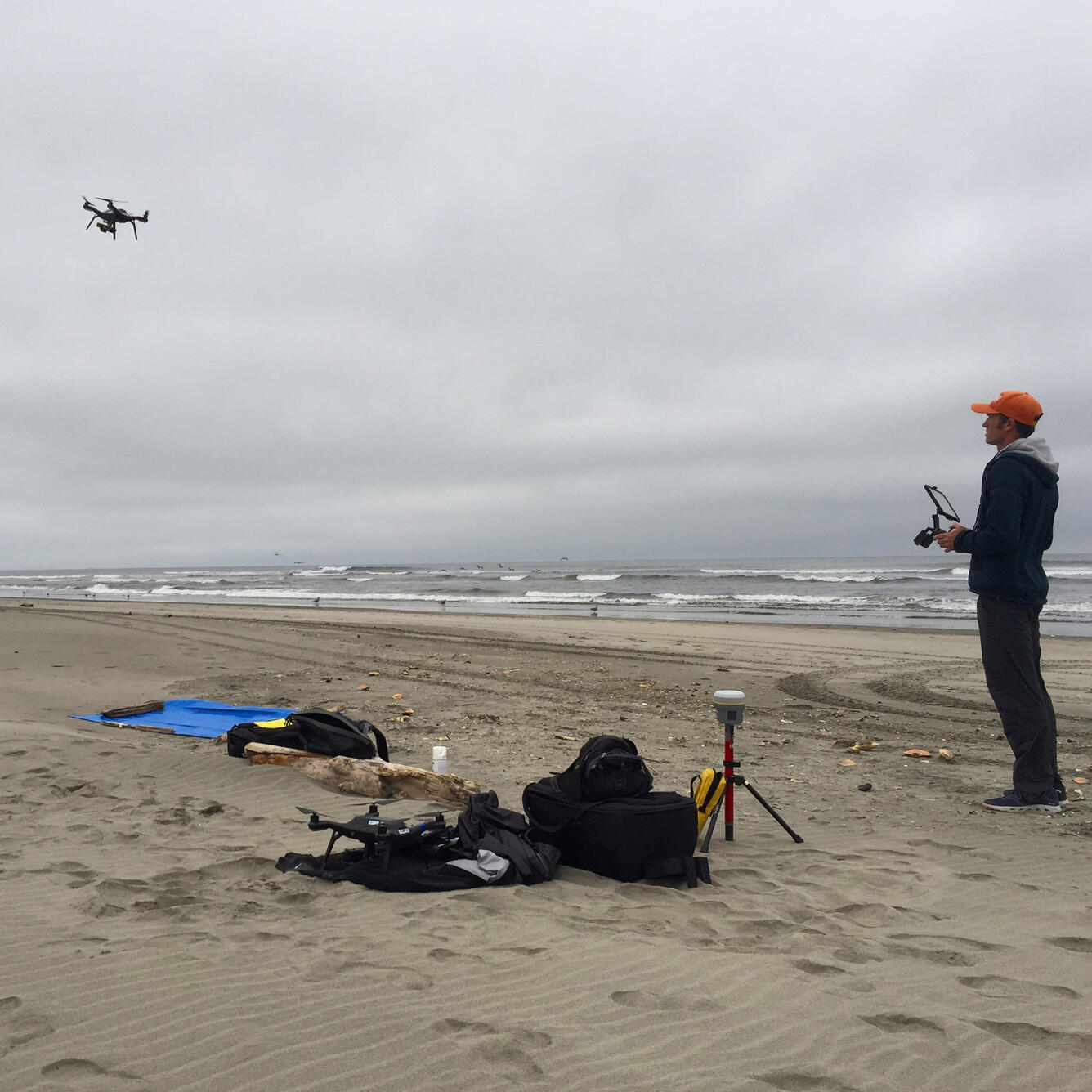
Drone carrying a precision GPS and special camera to map the shore
Detailed Description
Josh Logan operates a drone carrying a precision GPS and special camera to map the shore at Long Beach, Washington. USGS scientists used the same system for detailed mapping of beaches beside Monterey Bay, California.
Sources/Usage
Public Domain.