
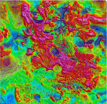
Earth MRI - Shaded relief map of high-resolution magnetic anomaly data
By Earth Mapping Resources Initiative (Earth MRI)
2016 (approx.)

Detailed Description
Earth MRI - Magnetic Map of SE Missouri
Sources/Usage
Public Domain.