Geomorphic response to breaching of Condit Dam, White Salmon River, WA

Detailed Description
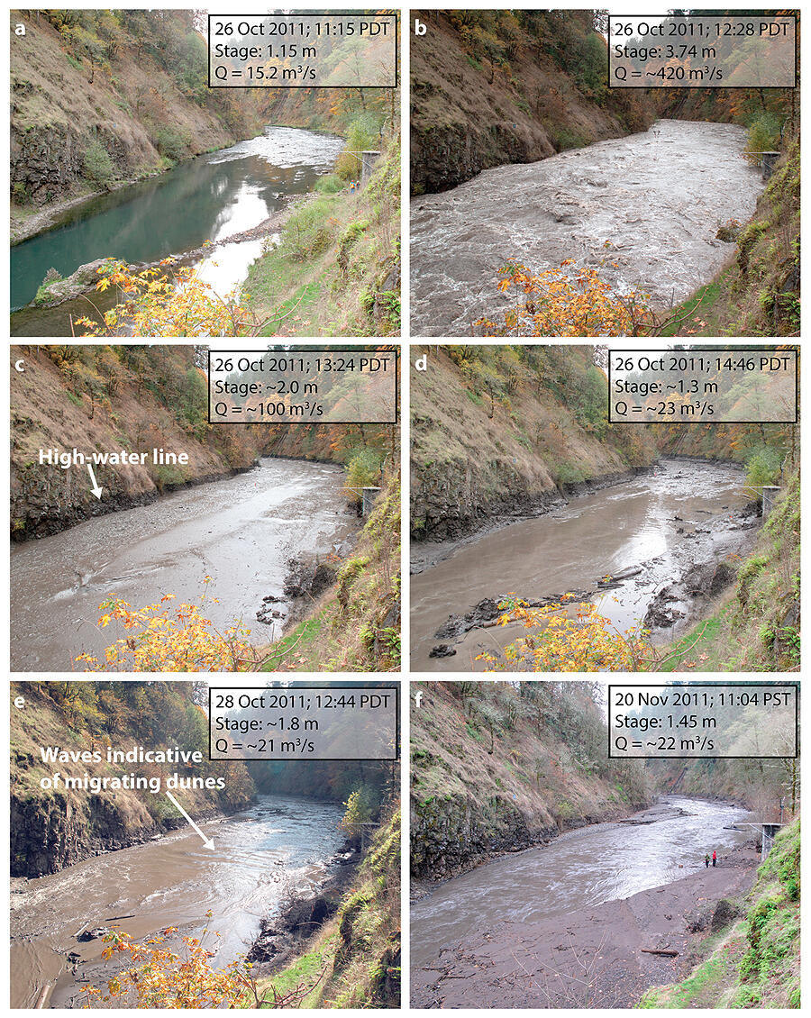
White Salmon River (Washington) at USGS gauge site, 2.3 km downstream of Condit Dam, looking downstream: (a) 53 min before breaching; (b) 20 min after breaching, at discharge peak; (c) 76 min after breaching, at peak sediment concentration, with high water line evident; (d) ~2.5 h after breaching, discharge has returned to background and sediment concentration is falling; (e) 2 days after breaching, when channel has aggraded and migrating dunes indicate substantial sandy bed-material transport; and (f) 25 days after breaching, showing bar emergence.

