
Grand Teton Glacial Monitoring with GPS
By Geology and Ecology of National Parks
2021 (approx.)

Detailed Description
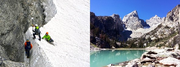
Left: Scientists use GPS to record change in glacial extent of Schoolroom Glacier. Right: Teton Glacier feeds this glacial lake. NPS.
Sources/Usage
Public Domain.