
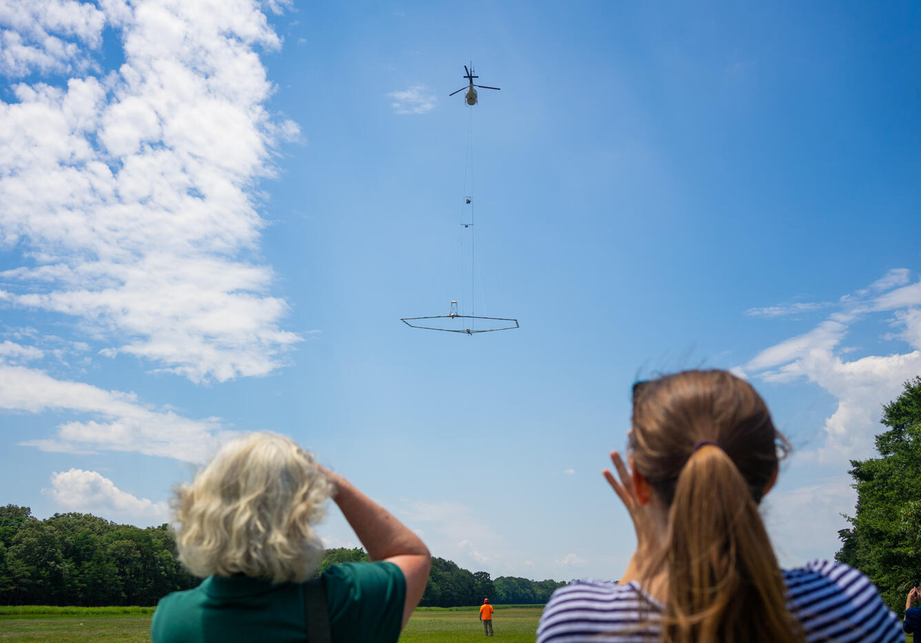
Helicopter Surveys Delaware Bay For USGS Water Research
Detailed Description
The USGS conducted an Airborne Electromagnetic Survey of subsurface conditions under and around the Delaware Bay. The data collected will improve scientists understanding of groundwater salinity as climate change, coastal storms, and growing groundwater demands increase the risk of saltwater impacting water supplies in the region.
Sources/Usage
Public Domain.