
Interactive Catchment Explorer
Detailed Description
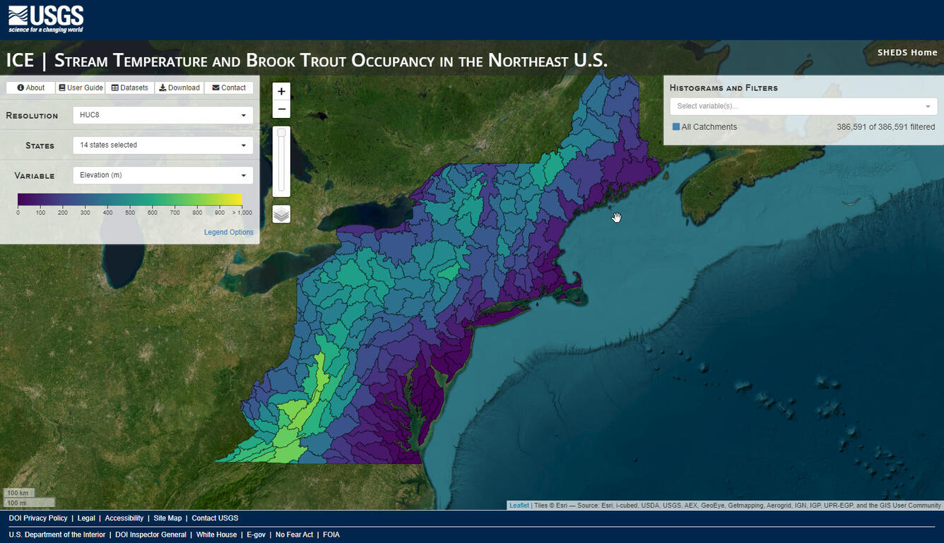
Interactive Catchment Explorer (ICE) is a web-based data visualization tool for exploring complex, multivariate environmental datasets and model results. It is designed to help researchers and resource managers identify spatial patterns in hydro-ecological conditions and to prioritize locations for restoration or further study. See the app
Sources/Usage
Public Domain.