
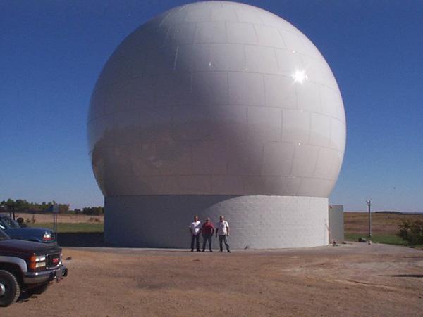
L7 Radome 1249
By EROS History Project
1999 (approx.)
Detailed Description
The Landsat 7 radome completed over the Landsat 7 antenna to shield it from the elements. EROS History Project
Sources/Usage
Public Domain.