
Landsat 9 image of Northern Madagascar

Detailed Description
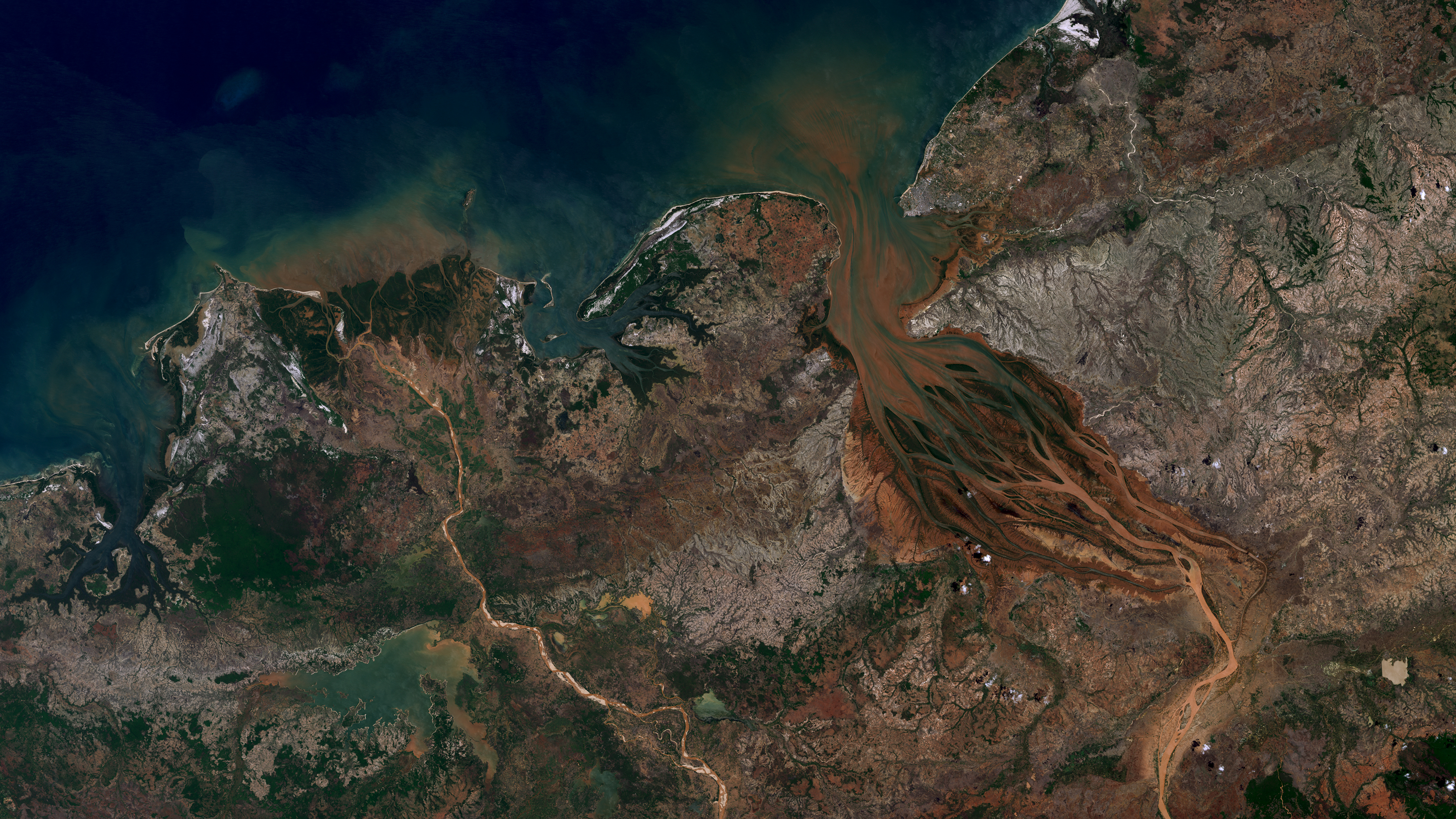
The Betsiboka River in Northern Madagascar is seen in this Landsat 9 natural color image from December 7, 2021. Extensive logging has left the land vulnerable, and iron rich soils are washed into the river, coloring it a reddish orange as it flows to the Betsiboka estuary delta.
Product ID LC09_L1TP_160071_20211207_20220120_02_T1
Sources/Usage
Public Domain.