
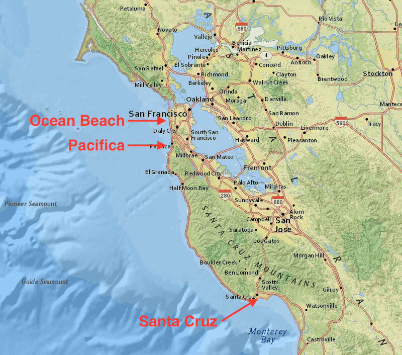
Location map of USGS El Niño studies
By Pacific Coastal and Marine Science Center
2016 (approx.)
Detailed Description
Map of Northern California, with Ocean Beach, Pacifica, and Santa Cruz marked.
Sources/Usage
Public Domain.