
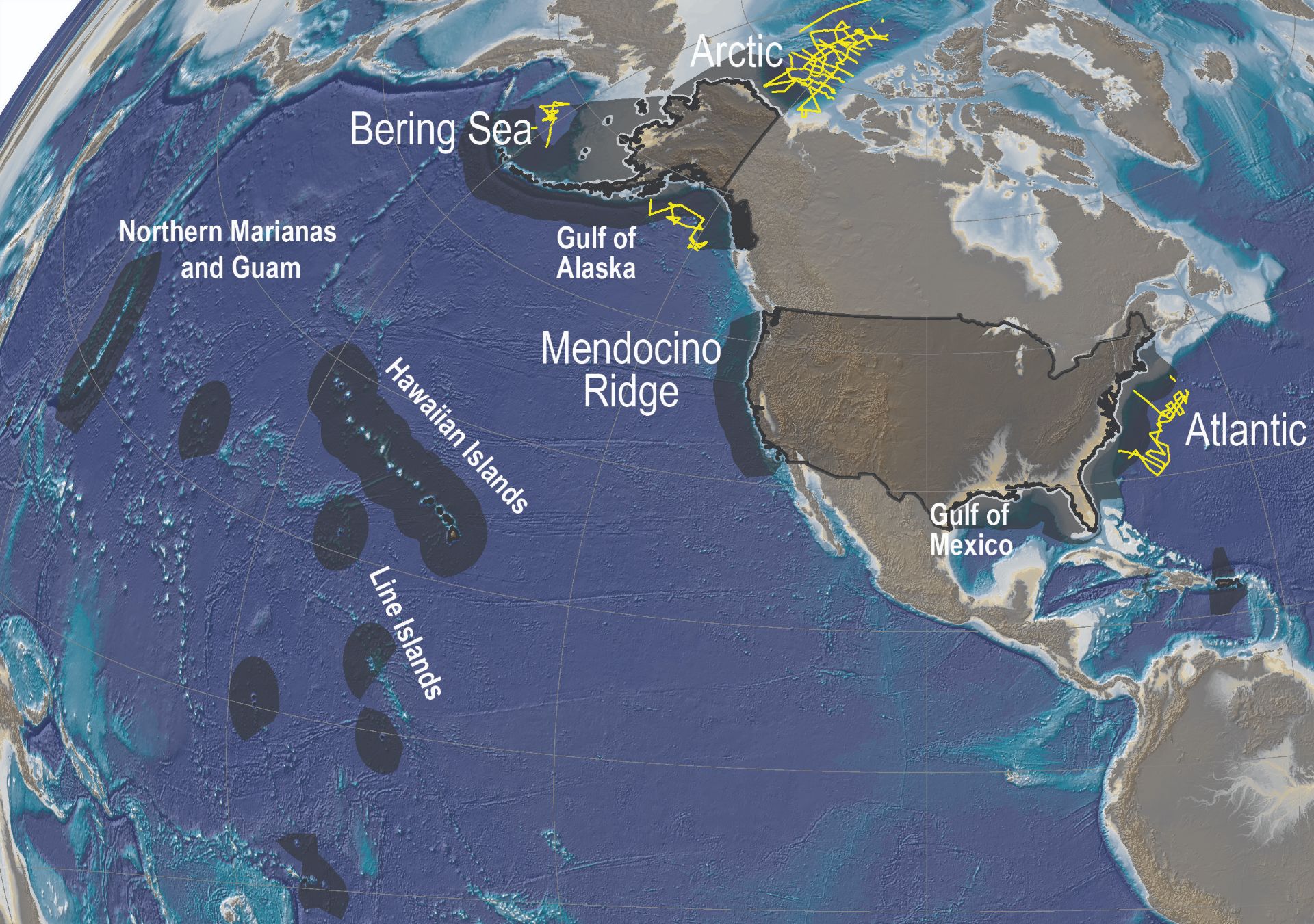
Map of the 200 nautical mile U.S. Exclusive Economic Zone
By Coastal and Marine Hazards and Resources Program
2009 (approx.)

Detailed Description
The 200-nautical mile U.S. Exclusive Economic Zone is shown in dark gray on the map. The CMHRP has collected sediment thickness data for defining the extended continental shelf—the shelf beyond 200 nautical miles—in the Arctic and Atlantic Oceans and the Bering Sea (yellow tracks).
Sources/Usage
Public Domain.