
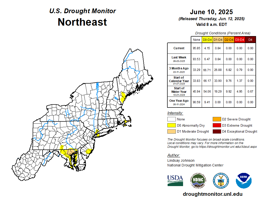
Map of Drought Areas in the Northeastern United States
Detailed Description
A map displaying drought levels in the northeastern United States.
Sources/Usage
The U.S. Drought Monitor is jointly produced by the National Drought Mitigation Center at the University of Nebraska-Lincoln, the United States Department of Agriculture, and the National Oceanic and Atmospheric Administration. Map courtesy of NDMC.