
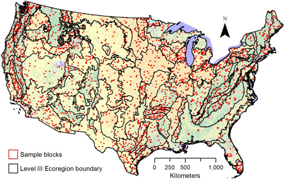
Map of Land Cover Trends sample blocks
By Western Geographic Science Center
2001 (approx.)

Detailed Description
Map showing the locations of the 2,688 sample blocks that comprise the Land Cover Trends dataset. The red squares indicate locations of the 10 km x 10 km and/or 20 km x 20 km sample blocks. The base map is the 1992 National Land Cover Dataset (Vogelmann and others, 2001).