Map of low-flying helicopter to survey of Coalinga
Detailed Description
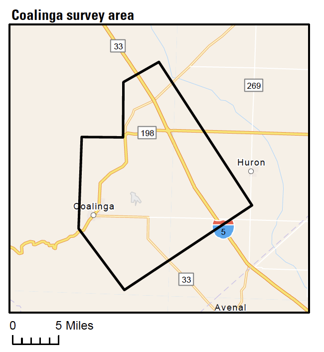
This map shows where the Coalinga airborne geophysical surveys is planned.
Sources/Usage
Public Domain.

Official websites use .gov
A .gov website belongs to an official government organization in the United States.
Secure .gov websites use HTTPS
A lock () or https:// means you’ve safely connected to the .gov website. Share sensitive information only on official, secure websites.
This map shows where the Coalinga airborne geophysical surveys is planned.
Public Domain.