
Mapping ground control target using UAS
By Coastal and Marine Hazards and Resources Program
July 2016 (approx.)
Detailed Description
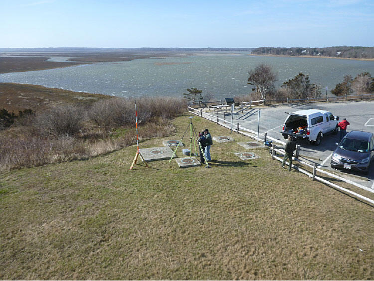
Mapping one of the targets used as a ground control point. Left to right: Rob Thieler, Sandy Brosnahan, Alex Nichols.
Sources/Usage
Public Domain.