
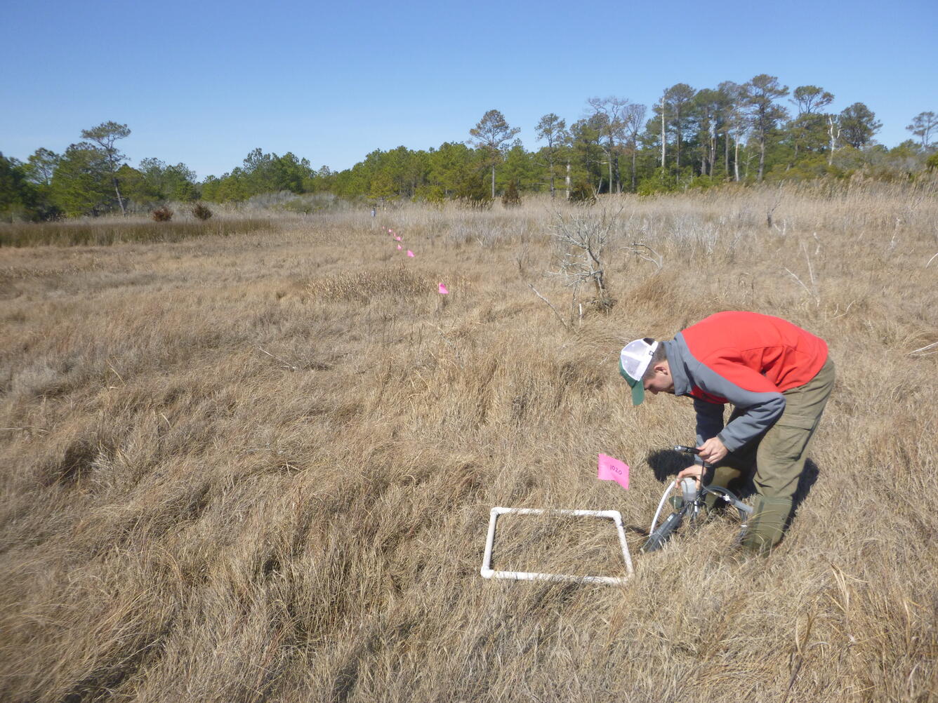
Measuring salinity as part of a vegetation survey
Detailed Description
Brendan Crossman measures porewater salinity in a vegetation plot situated on a survey transect from the wetland into the adjacent upland forest. This site is at Dameron Marsh Natural Area Preserve and is one of 23 sites around the Chesapeake Bay where the Eastern Ecological Science Center's Coastal Wetlands group has conducted surveys of vegetation and topography along transects spanning wetland-upland boundaries to study the impact of sea level rise and transgression on coastal ecosystems.
Sources/Usage
Public Domain.