
Millicoma Meander study basin
By Landslide Hazards Program
2012 (approx.)
Detailed Description
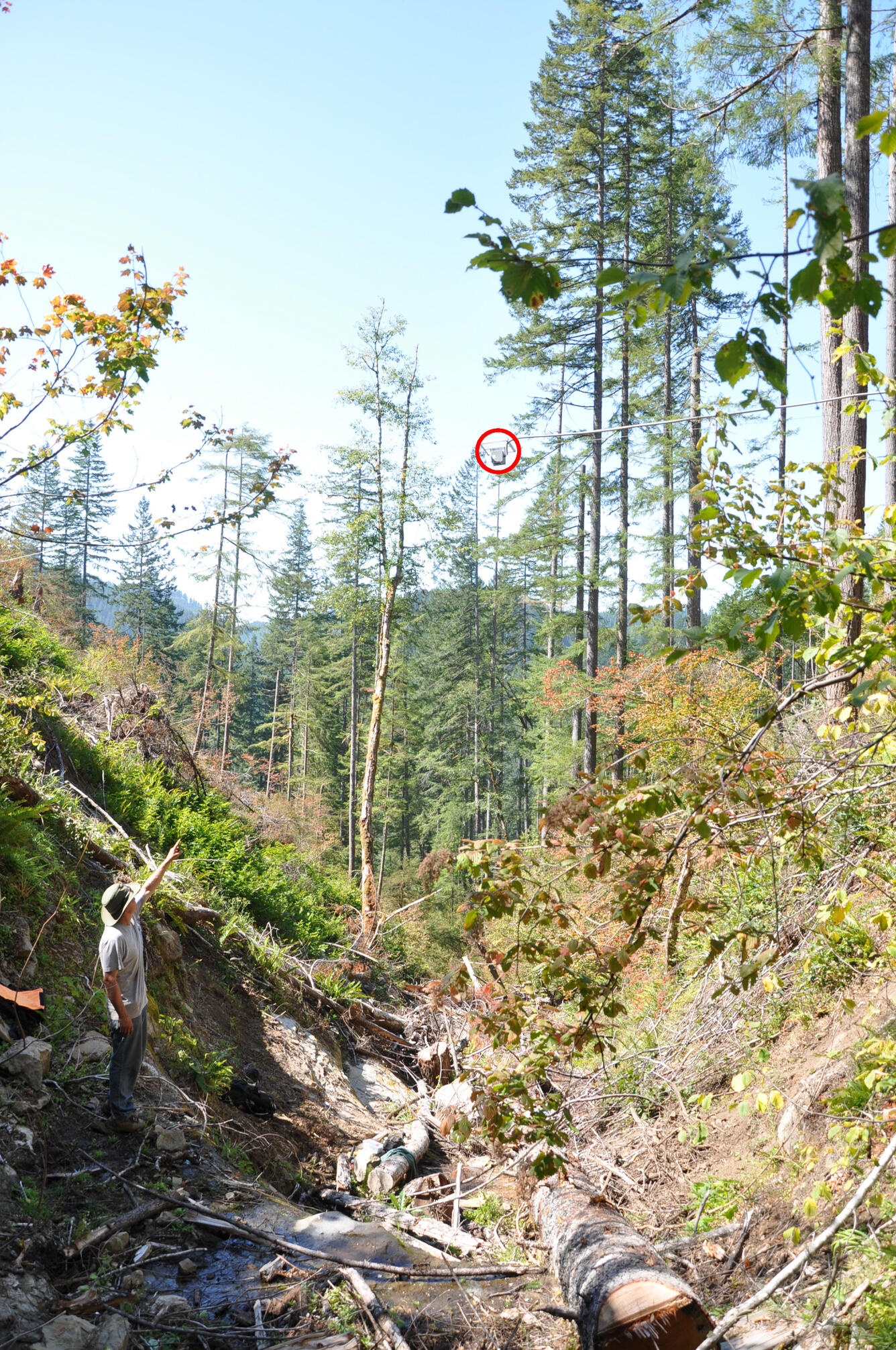
Photograph of the channel station showing the laser distance meter (in red circle) high above the channel used to measure stage (height) of flow in the channel.
Sources/Usage
Public Domain.