
Northwest Arkansas 2019-2020 Airborne Geophysical Survey

Detailed Description
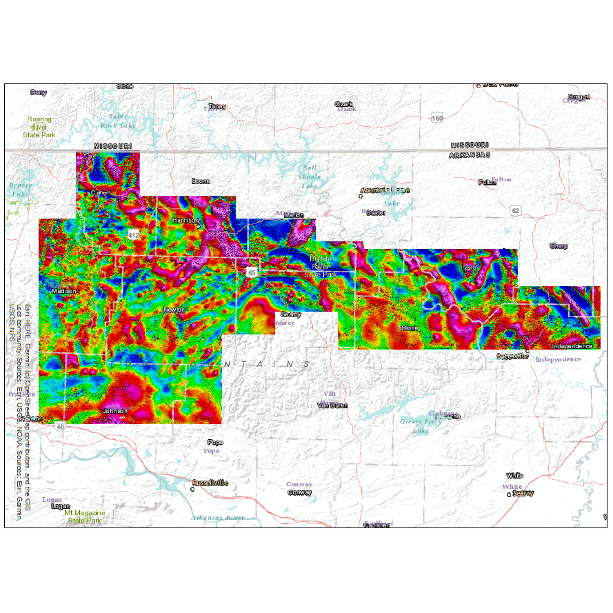
Thumnail image of airborne geophysical data collected over northwest Arkansas during 2019-2020. This image was released with USGS data release Airborne magnetic and radiometric survey over northwest Arkansas, 2019-2020, https://doi.org/10.5066/P91O2Y8W.
Sources/Usage
Public Domain.
Airborne magnetic and radiometric survey over northwest Arkansas, 2019-2020
McCafferty, A.E., and Brown, P.J., 2020, Airborne magnetic and radiometric survey over northwest Arkansas, 2019-2020: U.S. Geological Survey data release, https://doi.org/10.5066/P91O2Y8W.